Since my last day hiking in New Hampshire and entering Vermont last Saturday, the hiking has been easier and the scenery a bit different. The trails have fewer rocks to negotiate and rather than heading straight up, the trails follow long switchbacks that zigzag up the mountains at easier grades. I have been able to cover 16 to 21 miles each day for the last week, which will be necessary to continue to reach Georgia before the end of November.
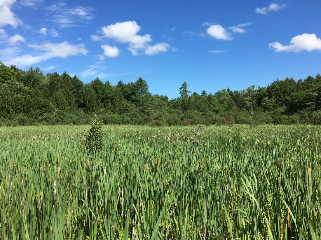
The views are different, with the trail alternating between hiking through forests and crossing meadows. The trees are different also, as I have passed many maple trees in addition to the birch and pine I have encountered for the past seven weeks. In several locations I observed the tubing in place for the annual collection of sap for maple syrup.

I also have experienced a lot of rain this week. Sunday cleared up in the afternoon, but Monday the rain fell from shortly after I started hiking before 7 a.m. until mid-afternoon, and started again after an hour or so of sunshine.
Tuesday was drier as I reached the junction of the Appalachian Trail and Long Trail. The Long Trail runs 273 miles from the Vermont-Massachusetts border to the Vermont-Quebec border, is the first long-distance hiking trail in the United States, and is the model on which Benton MacKaye conceived the idea of the Appalachian Trail. The two trails share 106 miles in common from the Vermont-Massachusetts border to “Maine Junction.”

The rain held off for the afternoon which allowed me to take a steep, 0.2 mile side trip to the summit of Killington Mountain. After eating lunch and enjoying the views from the summit, I realized the ski gondola was operating and so I headed over to the ski area restaurant and refueled with a can of ginger ale and a dark chocolate- sea salt chocolate bar.
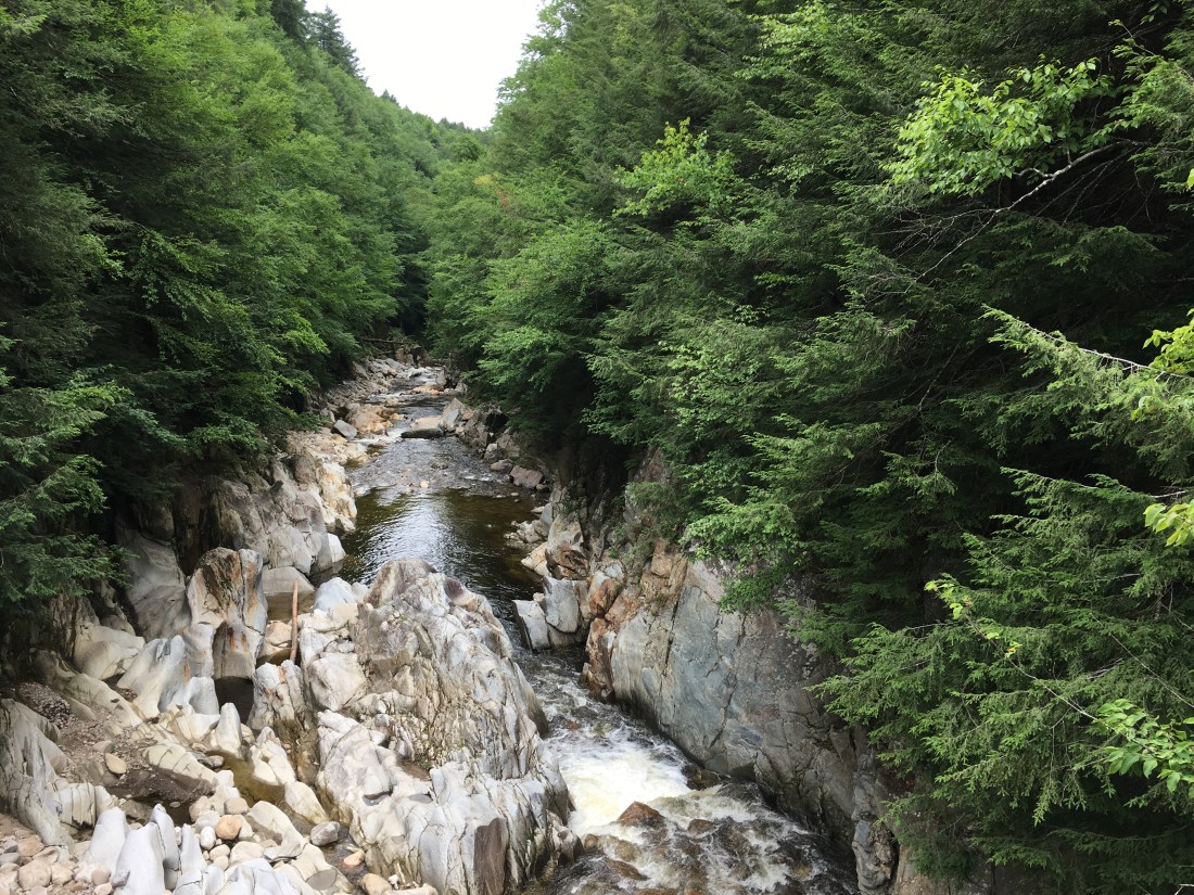
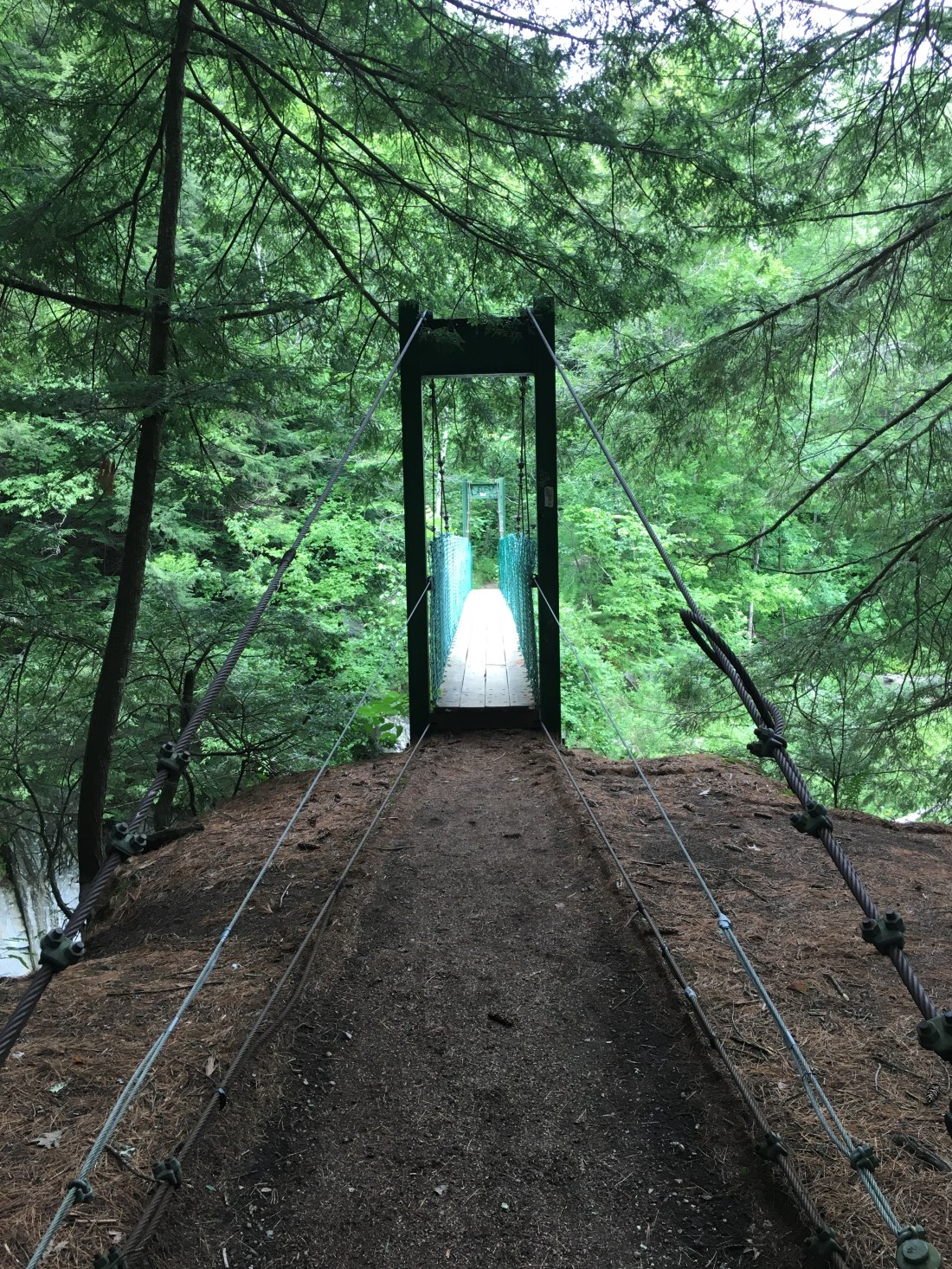
Wednesday was a day to which I had been looking forward for the entire trip, as my wife Katie would be meeting me for a weekend off the trail. I broke camp by 6:30 to quickly complete my 13.2 mile hike to Vermont Route 140. On the way, I passed though Clarendon Gorge, crossing the gorge on another suspension bridge. Unlike the bridge over the Peabody River in New Hampshire, I had company on this bridge. As I stopped to take a picture of the gorge, the bridge suddenly started moving as another hiker crossed heading northbound. Once I settled down and the other hiker crossed, I took my picture and headed back to firm ground.
After crossing the gorge and surviving one more downpour as I crossed over Bear Mountain, I reached Vermont Route 140. My curiosity as to why I did not hear car traffic as I approached was answered when I found the road closed for construction work. Fortunately, the detour did not delay Katie for too long. After a day running errands at home and a day at Craigville Beach on Cape Cod, it is almost time to head back to Vermont. While I am excited to have completed 513 miles, I still have 1676 miles left to hike.

I continue to be amazed and inspired. The pictures are stunning! I think about all the interesting hikers you may have met and your shared stories. Thanks for creating such a vivid picture! Walk on Uncle Malty!
LikeLike