It seems one thing or another kept me from hiking this winter until I finally made it out on March 8. It had been 16 weeks to the day since I finished my AT hike at Springer Mountain.
Mt. Whiteface in the White Mountains of New Hampshire seemed like a good place to resume hiking. Roundtrip from the trailhead on Ferncroft Rd to the summit is only 8.4 miles and about 3,000 feet of elevation gain.
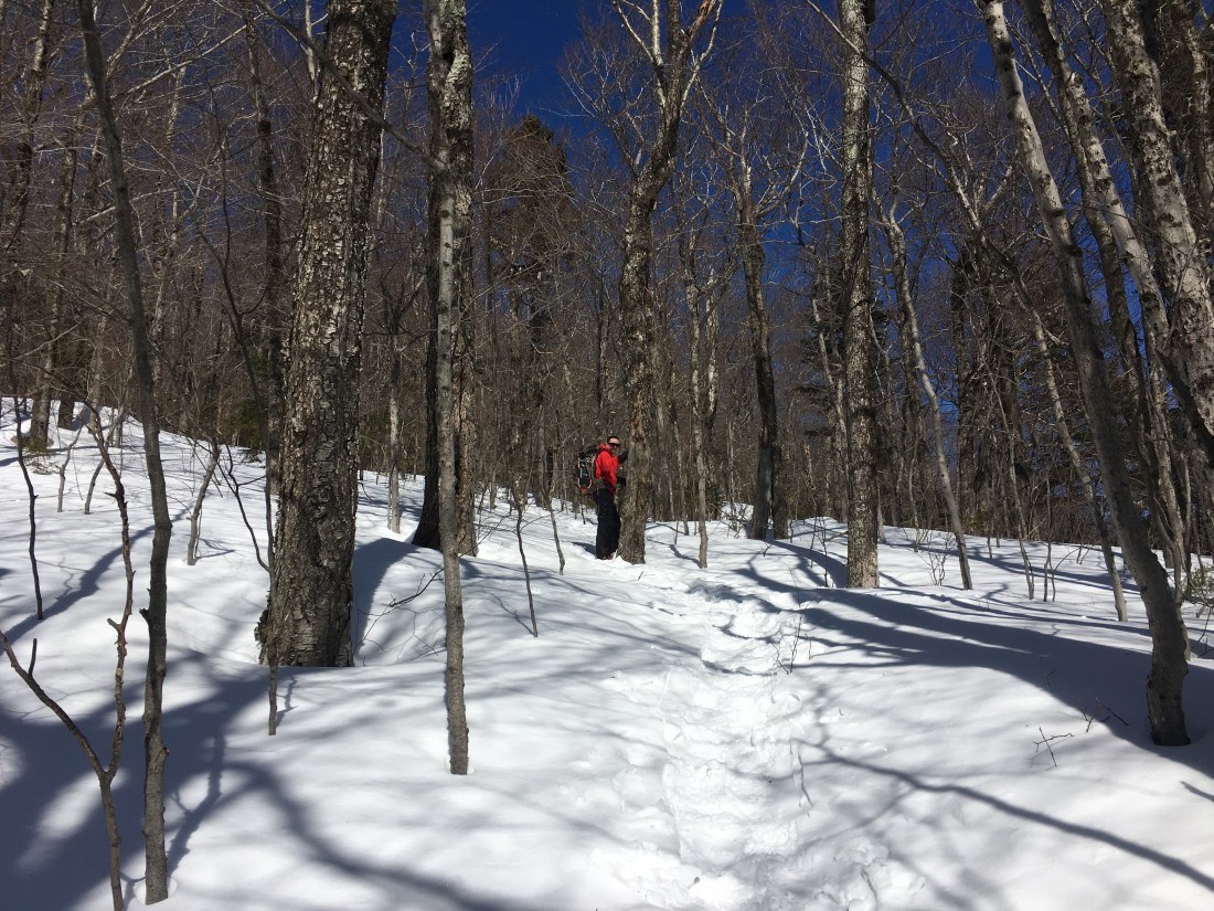
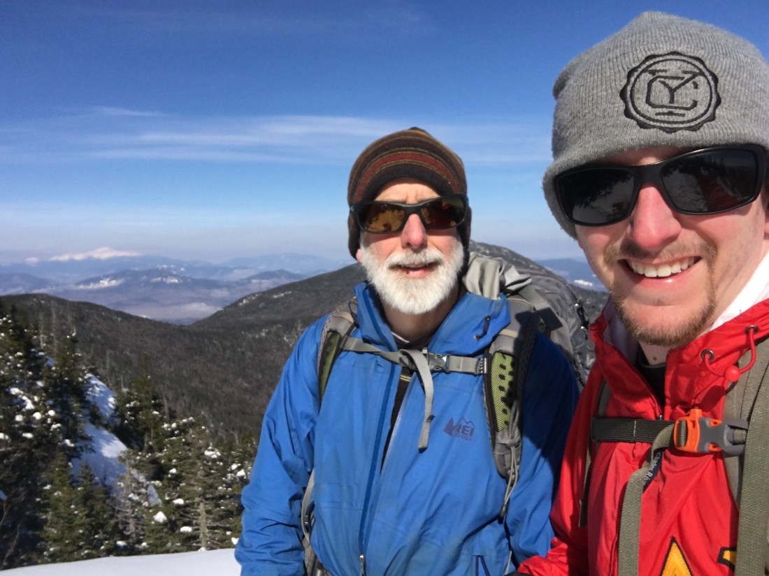
Winter is my favorite season for hiking in the White Mountains. The rocky trails are covered with snow, making for a smooth hiking surface; the air quality is better, making for outstanding views; and there are fewer hikers, making for more solitude. My hiking partner for this trip was my son, Brian, with whom I had not hiked since we hiked Mt. Katahdin when I started the AT last June.
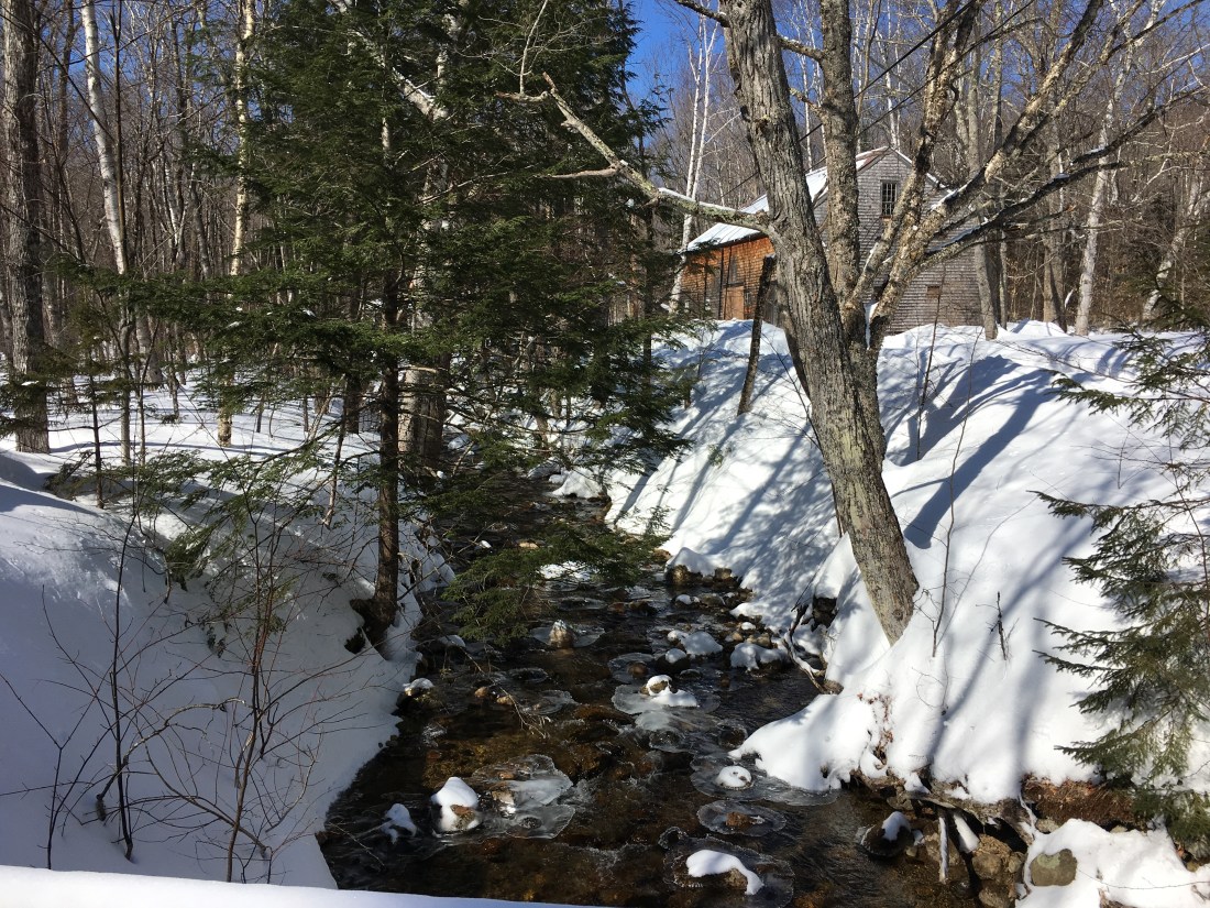
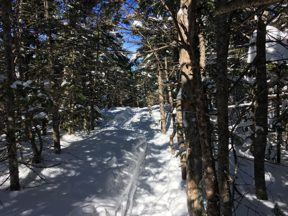
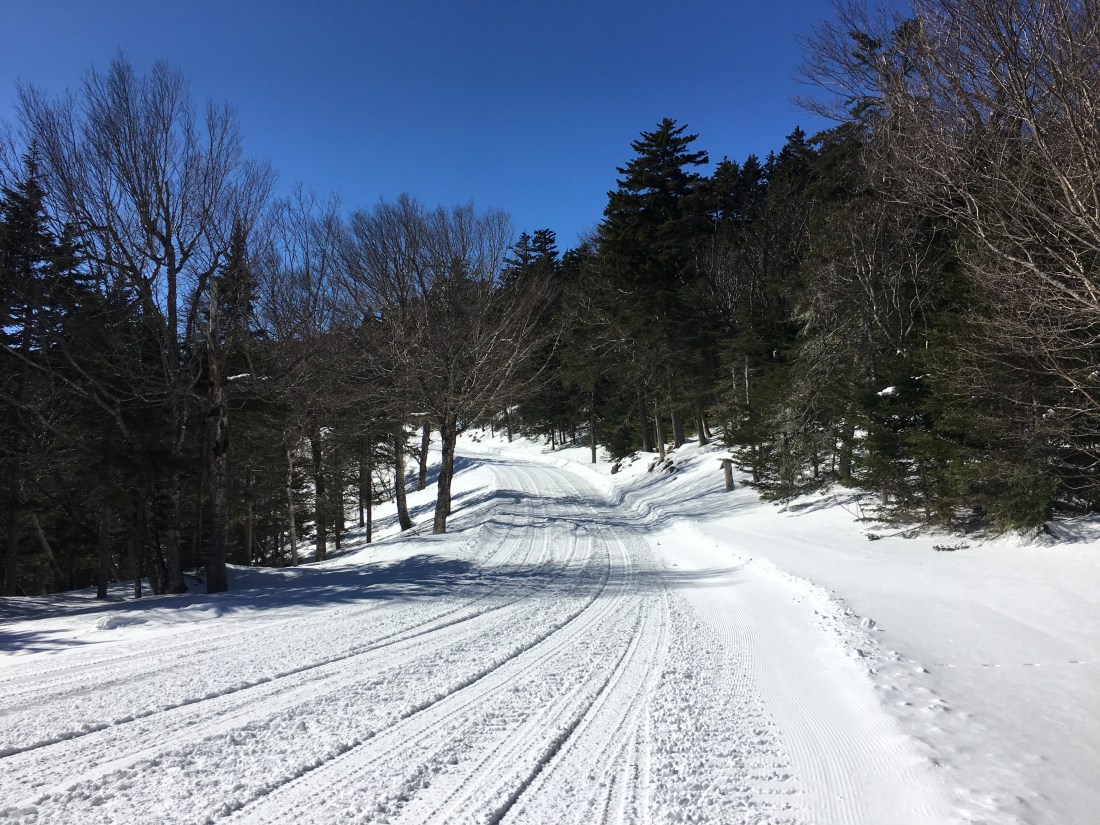
From the trailhead, the trail crosses a stream, enters the Sandwich Range Wilderness Area, and begins the ascent at an easy grade.
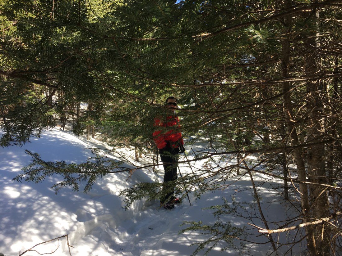
Despite there being fewer hikers in the winter, the trails still get a lot of use. The trail was well-packed. I wore snowshoes anyway, but Brian made it the entire hike in microspikes without “post-holing.” For those not familiar with this term, post-holing is when ones foot breaks through the snow crust and sinks in several feet (sometime up to one’s hip), leaving a hole suitable for installing a fence post. In addition to being exhausting, at least in my opinion, it is bad hiking etiquette, making an unsightly mess and actually making the trail more dangerous for subsequent hikers.
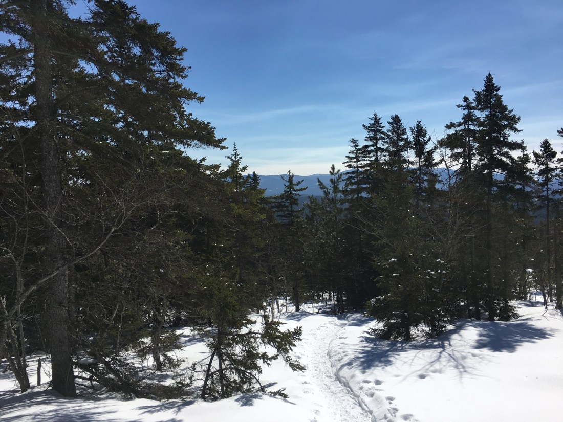
After a couple of miles the grade became steeper and there were a number open areas, not quite open enough for a view.
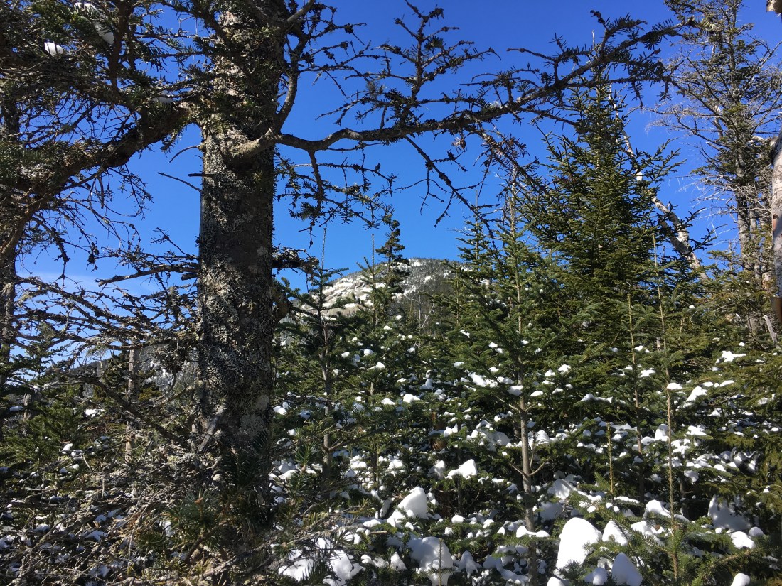
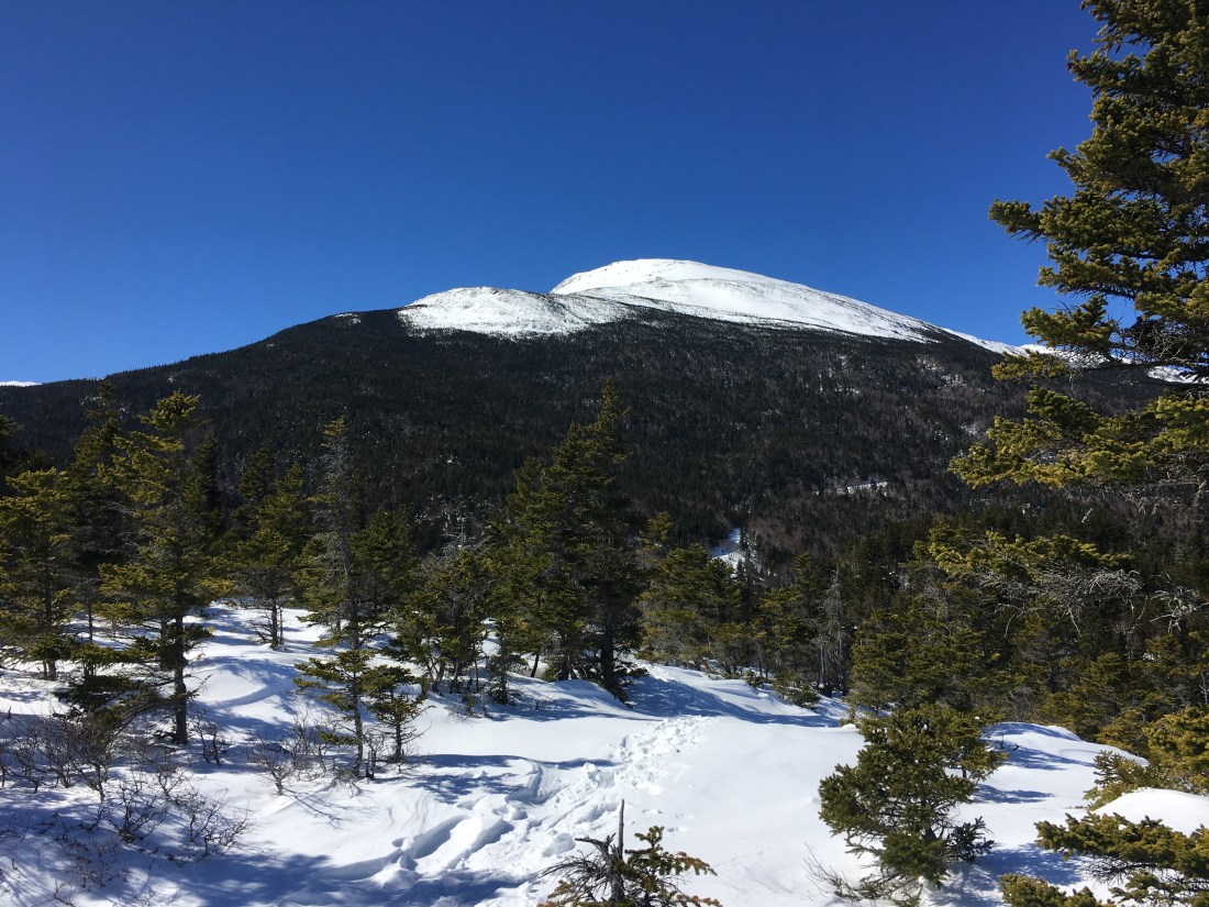
Before too long, we had a glimpse of the summit through the trees.
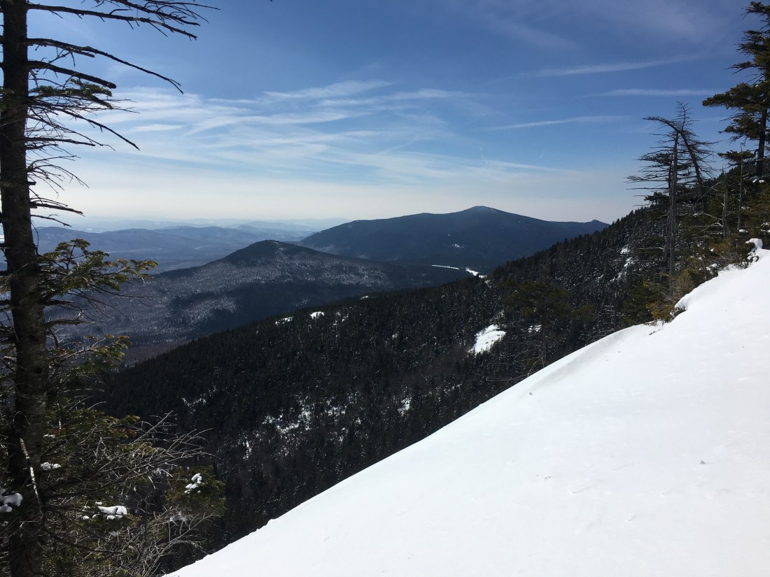
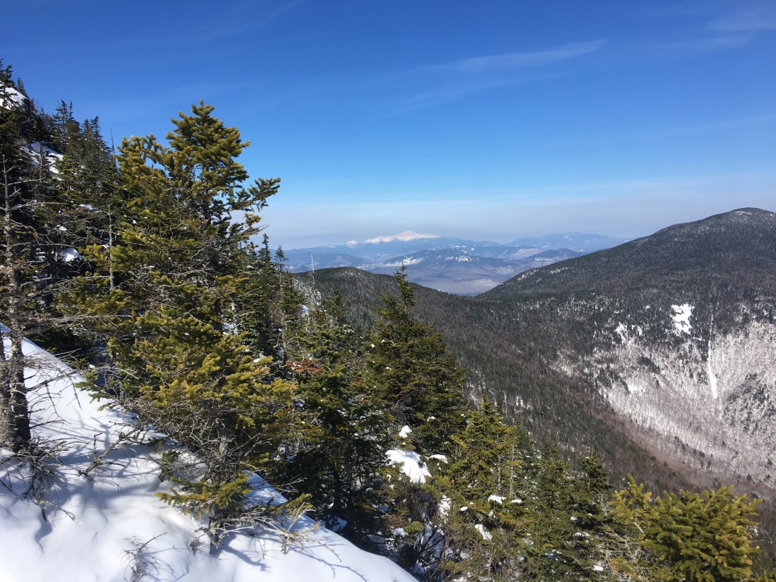
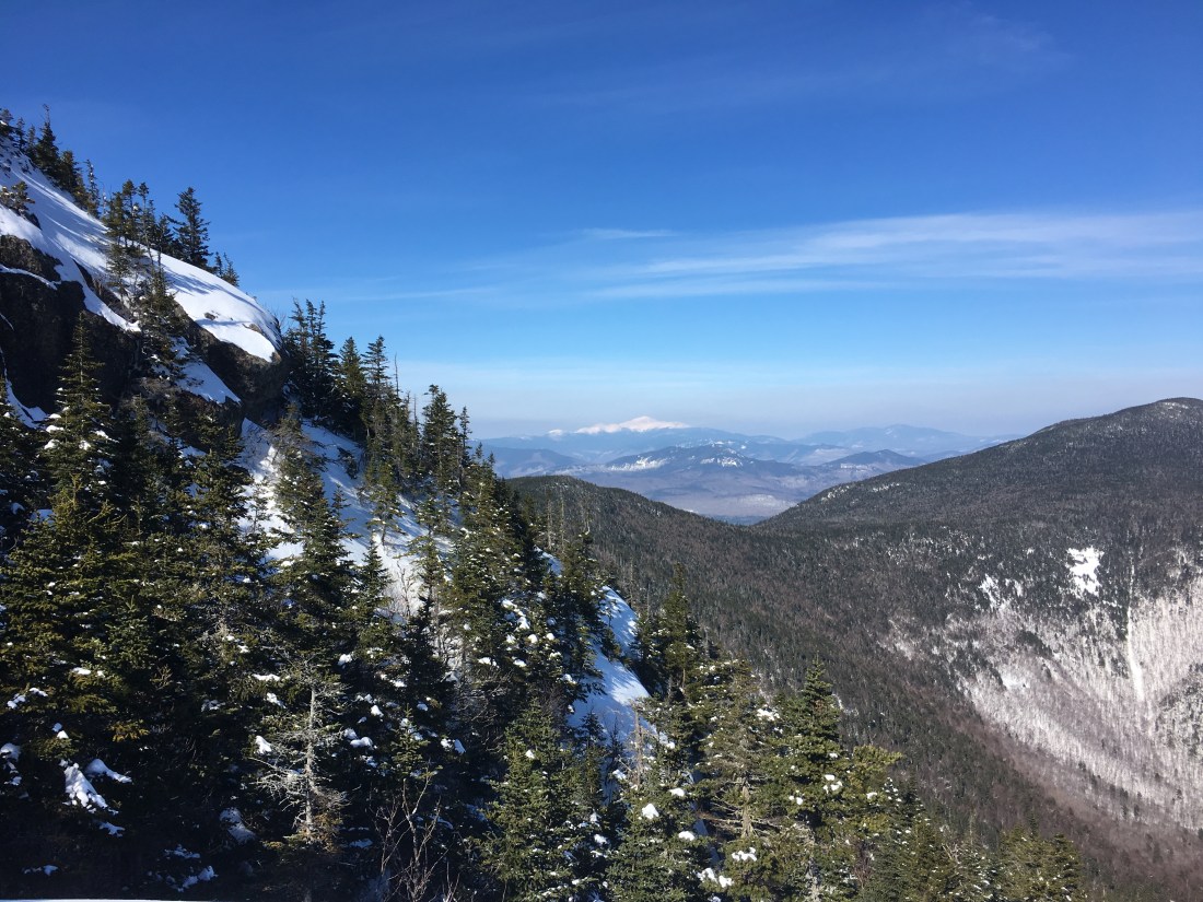
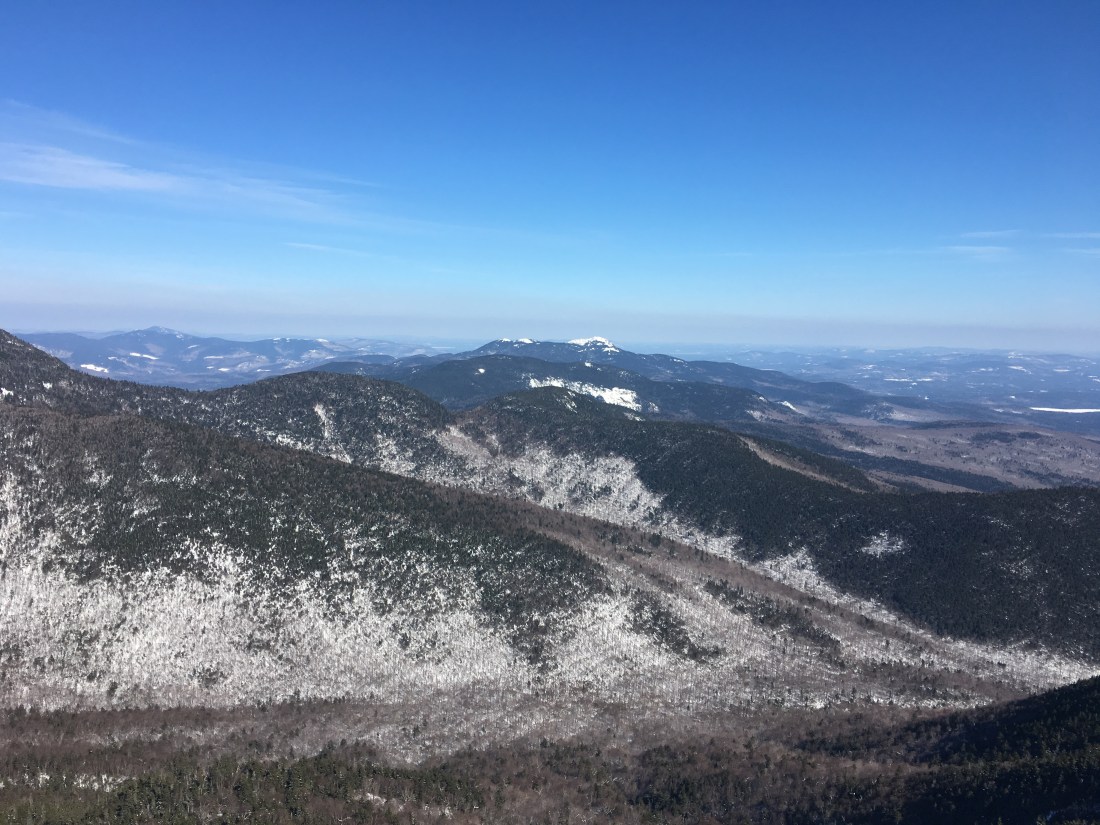
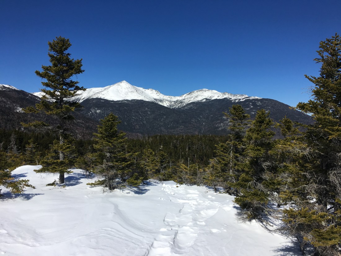
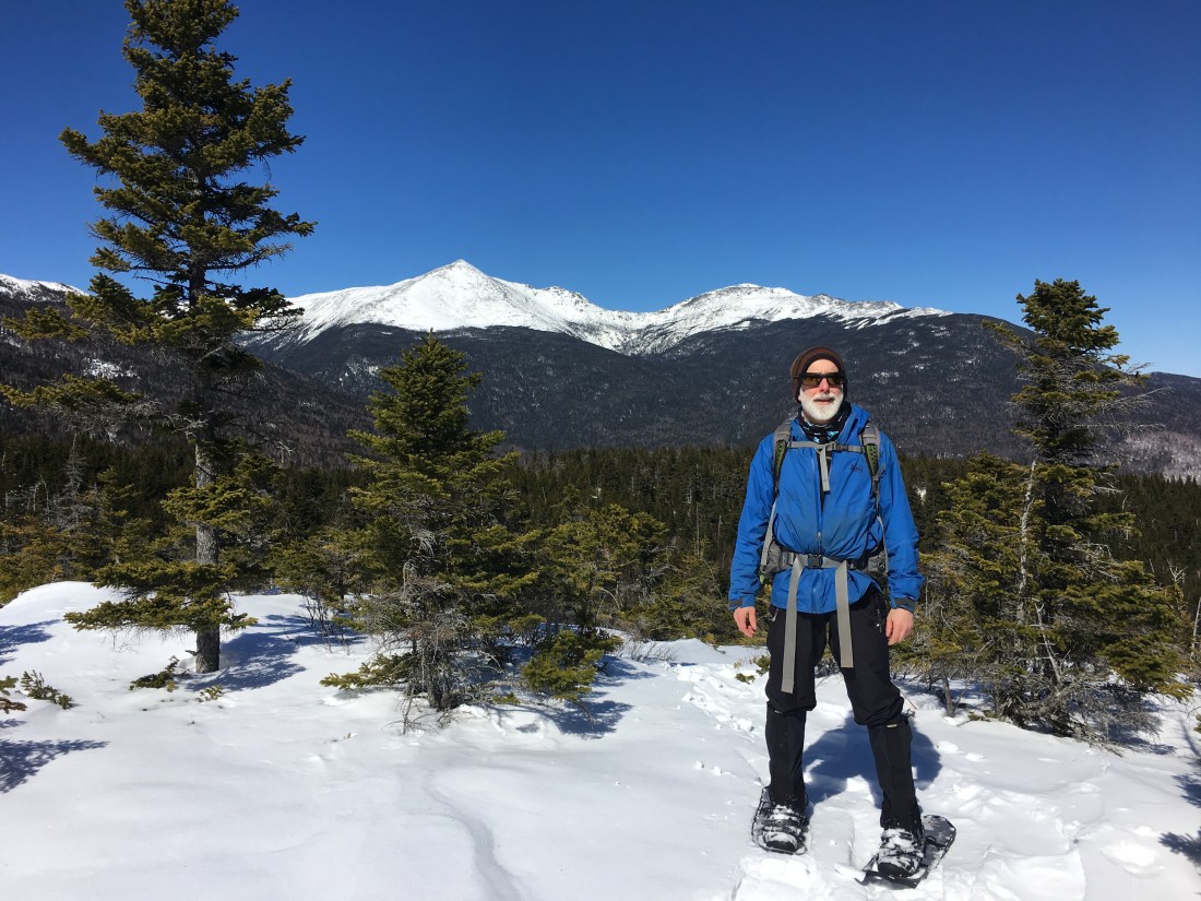
A bit more than a half-mile from the summit, the trail crosses several ledges with excellent views of the Sandwich Range Wilderness. During the summer, the ascent requires grabbing for handholds and scrambling up the ledges. As the Whites have received a lot of snow this year, the ledges were buried in the snow and we had a steep, but relatively easy hike. As the true summit is covered in trees with no views, we stopped at the ledges and enjoyed the views.
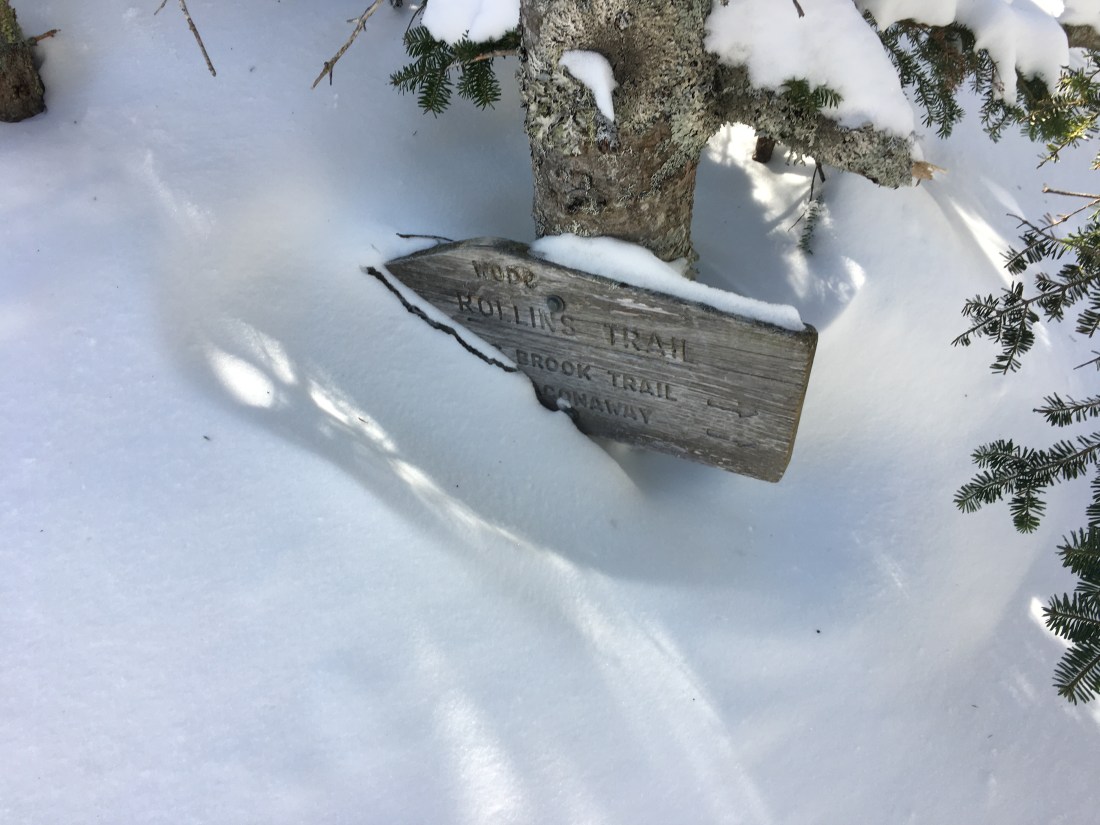
As we continued our way to the summit, we came to junction with the Rollins Trail. The sign at the junction is five or six feet tall, but was buried in snow and barely visible on this day.
We hiked 0.3 miles north on the Rollins Trail. Arriving at the summit (4,020’) was anticlimactic, but we knew this going in. Other than taking a quick picture, we did not linger and headed back down.
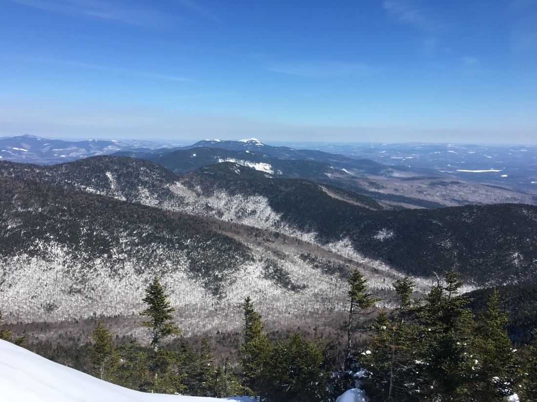
Back at the ledges, we stopped again to enjoy the view and take a few more pictures before descending.
We spent the night at the Appalachian Mountain Club (AMC) Joe Dodge Lodge and had dinner at the Red Fox Bar and Grille.
Our plan for Saturday was to hike Mt. Adams, weather permitting. Mt. Adams is a much more formidable hike at 5,774 feet, including nearly a mile above tree line in each direction. The winds were too strong for safe travel, so we opted instead to hike to Lowe’s Bald Spot, an open area just off the road Appalachian Trail with excellent views around Pinkham Notch.
From the lodge, we set out on the Old Jackson Rd trail and entered the Great Gulf Wilderness. Walking on 5 or 6 feet off snow puts a lot branches at chest or face level that are normally overhead, and several sections of trail required care to traverse.
We quickly covered the 2.4 miles and arrived at our destination. Upon arrival, I was reminded that this hike is always worthwhile. We had excellent views of the northern Presidentials and across the notch toward Wildcat Mountain.

The trail crosses the Mt. Washington Auto Road two tenths of a mile below Lowe’s Bald Spot. The road is closed in the winter, but the owner offers “snowcoach” rides halfway up the road to tree-line, and the workers at the Mt. Washington Observatory are shuttled up to the summit. I expect we would have heard a snowcoach approaching, but we looked both ways before crossing just to be safe.
I hiked again the following weekend and will post pictures from that trip next week.

I’m glad you are still posting your adventures – I truly enjoy living vicariously thru you.
Chuck Wilson
Vice President
EN Engineering
29 Bartlett Street
Marlborough, MA 01752
508.449.3452 (Office)
508-735.1949 (Mobile)
cwilson@enengineering.com
LikeLike