I reached Monson, ME on Sunday, June 17 and am taking a “zero day” in town today. I have covered 112.6 miles since my last post, including 9 miles or so to exit Baxter State Park, the 100-Mile Wilderness, and 3 miles to get into Monson. The 100-Mile Wilderness is the most isolated section of the Appalachian Trail, with no access other than an occasional logging road.
The hike out of Baxter State Park began on Friday, June 8, with a goodbye to Brian Tatro, before entering the woods. I enjoyed the scenery as I contemplated hiking for the next six months.
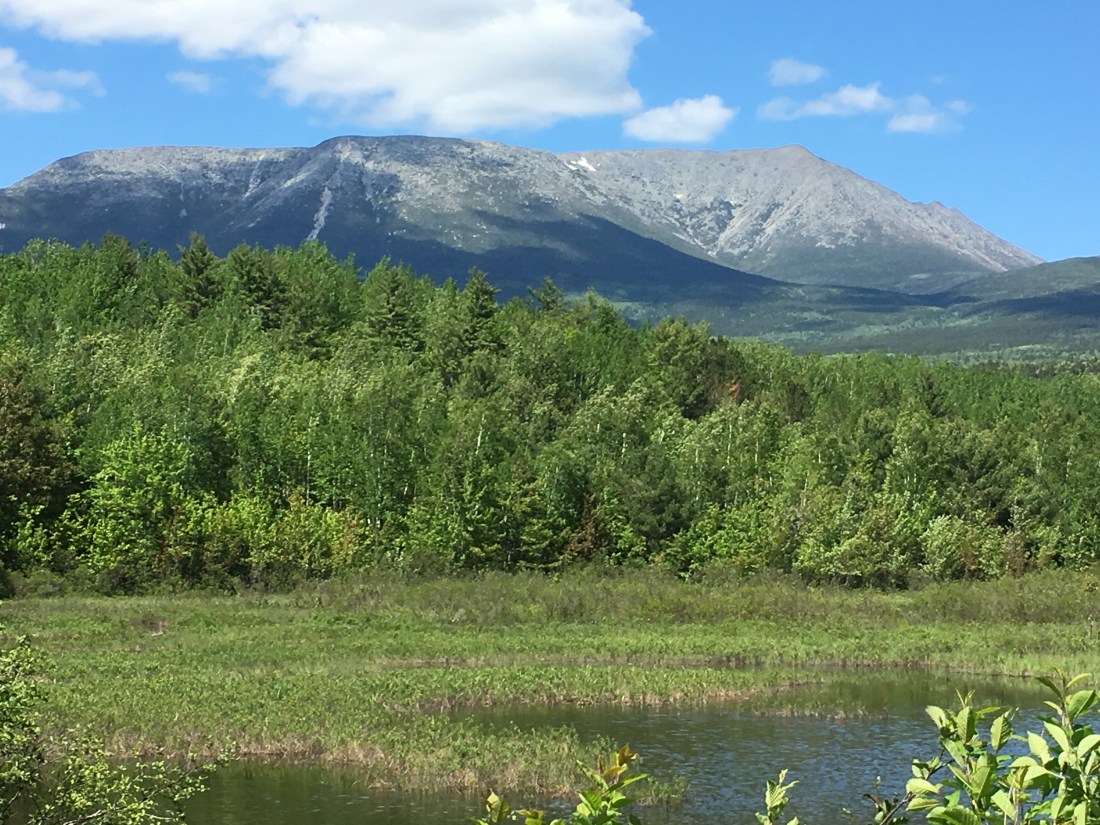
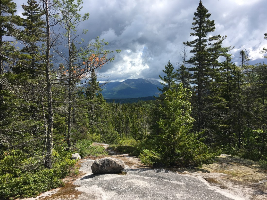
As I exited Baxter State Park after 9 miles of hiking, I was able to look back at Mt. Katahdin, although not for the last time, as it casts its shadow over much of the 100-Mile Wilderness.
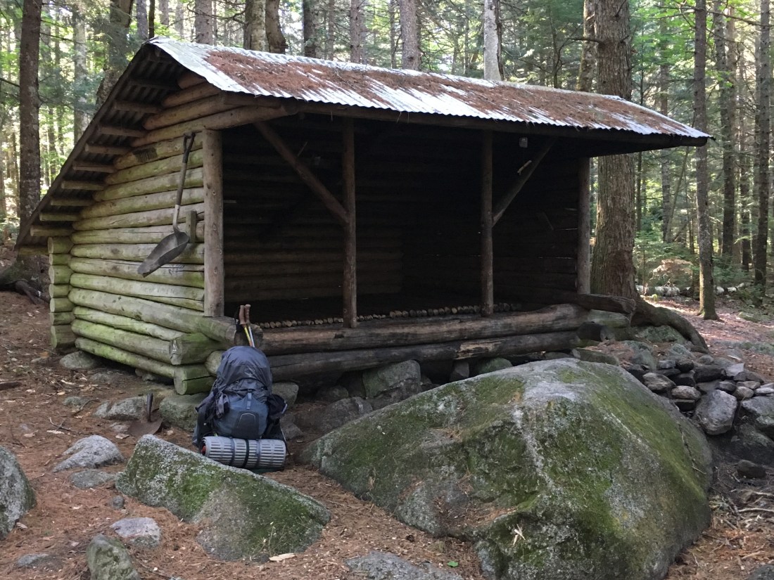
The day ended with entering the 100-Mile Wilderness and settling in for the night three miles later at the Hurd Brook lean-to.

Saturday provided more views as I continued to work my way toward Monson.
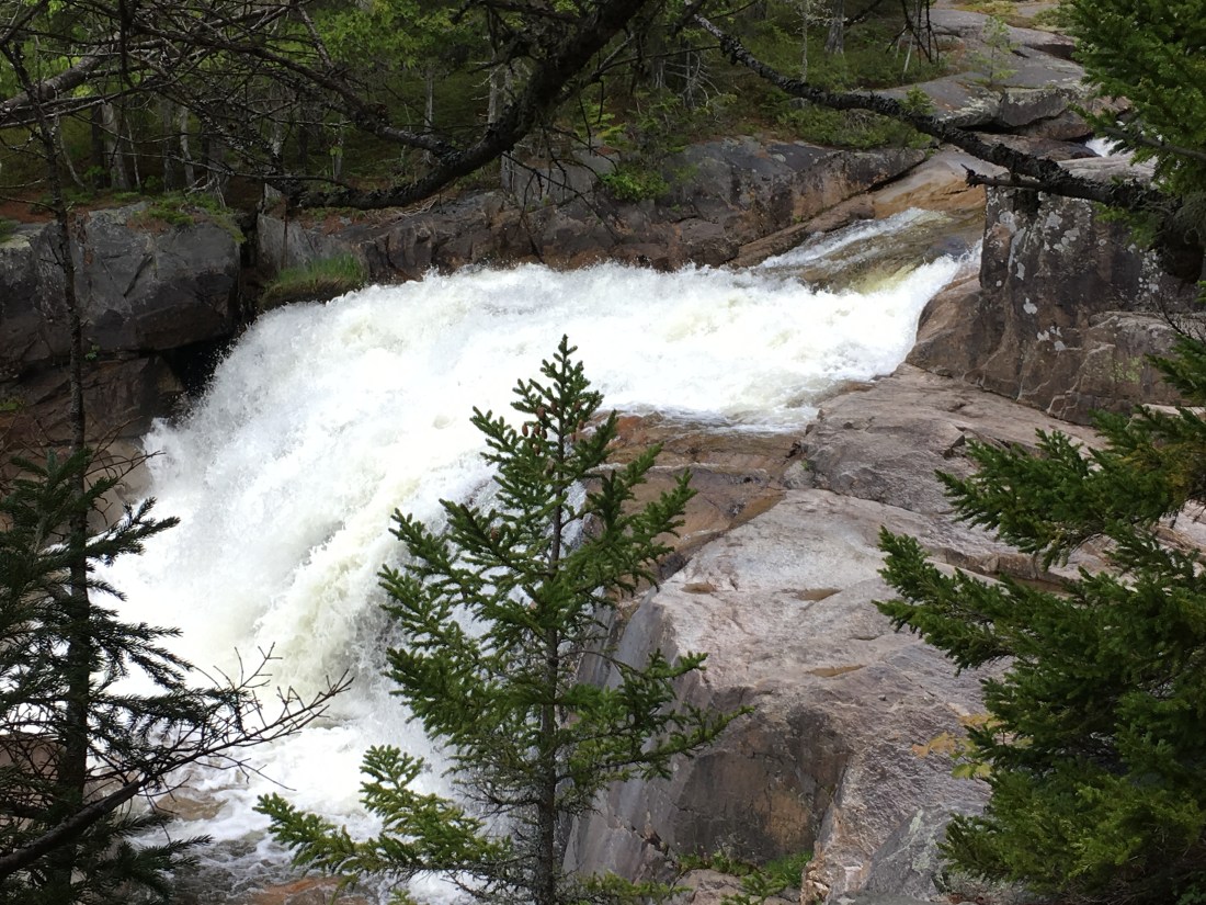
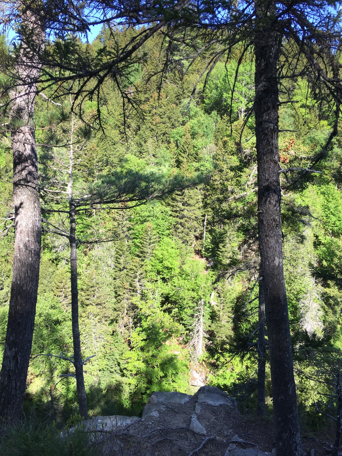
Sunday provided time for prayer and reflection as I hiked to Pollywog Gorge — 100 feet deep and 300 feet wide. I expect the view would have been quite impressive if I was willing to get closer to the edge.
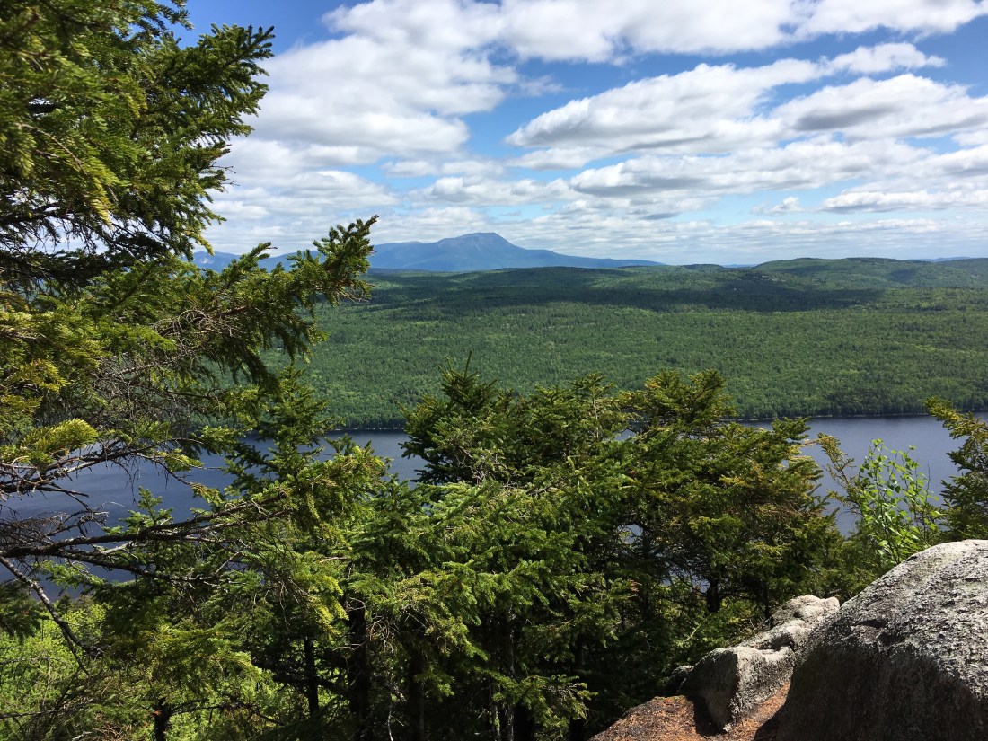
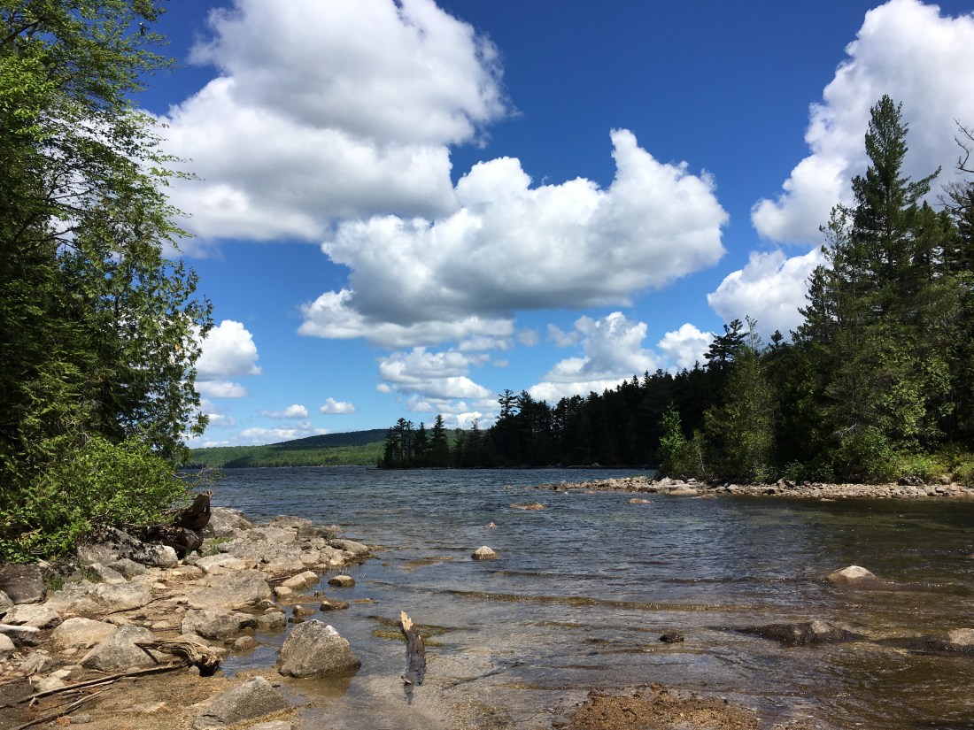
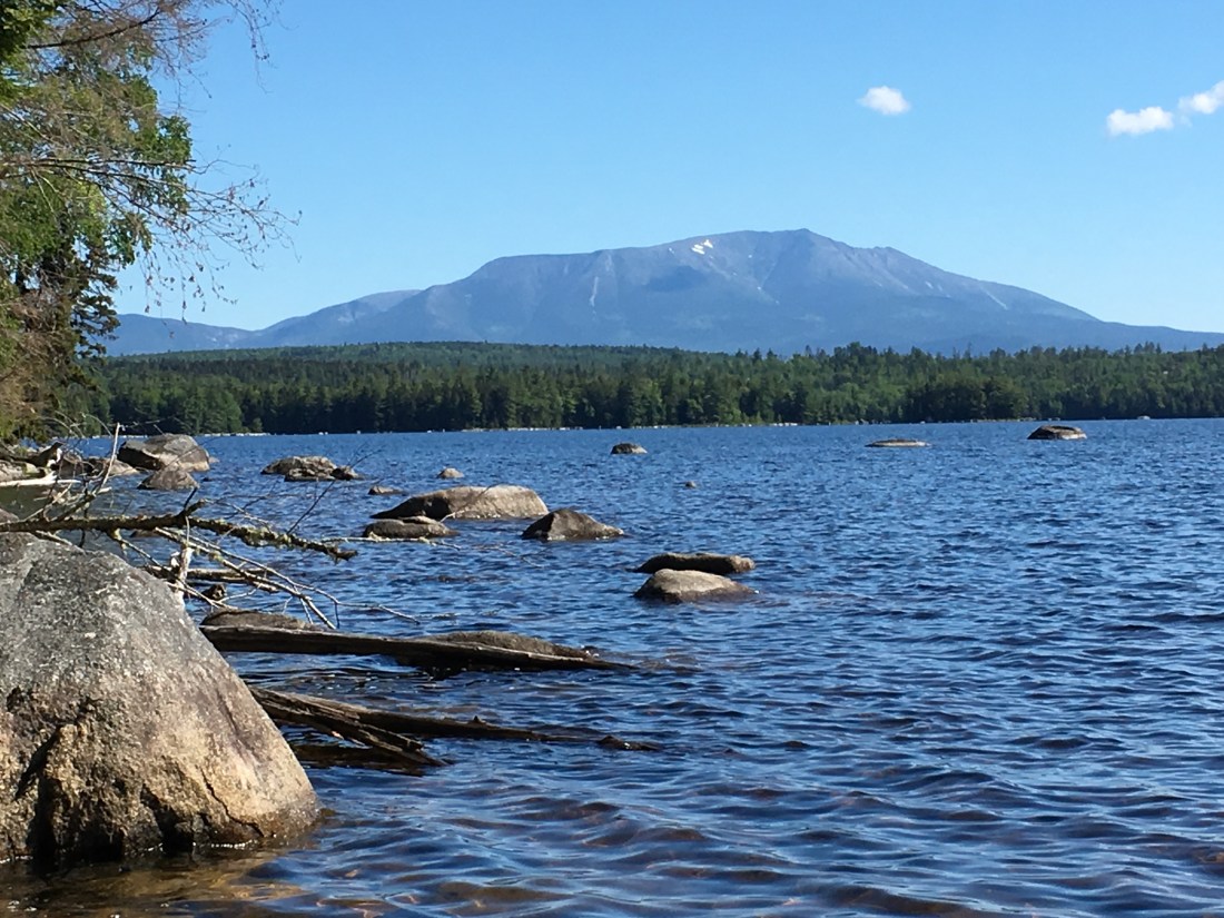
Monday included another distant view of Mt. Katahdin, this time across Pemadumcook Lake, a peaceful location to take in a bit of sun, put on dry socks, and have a mid-morning snack.
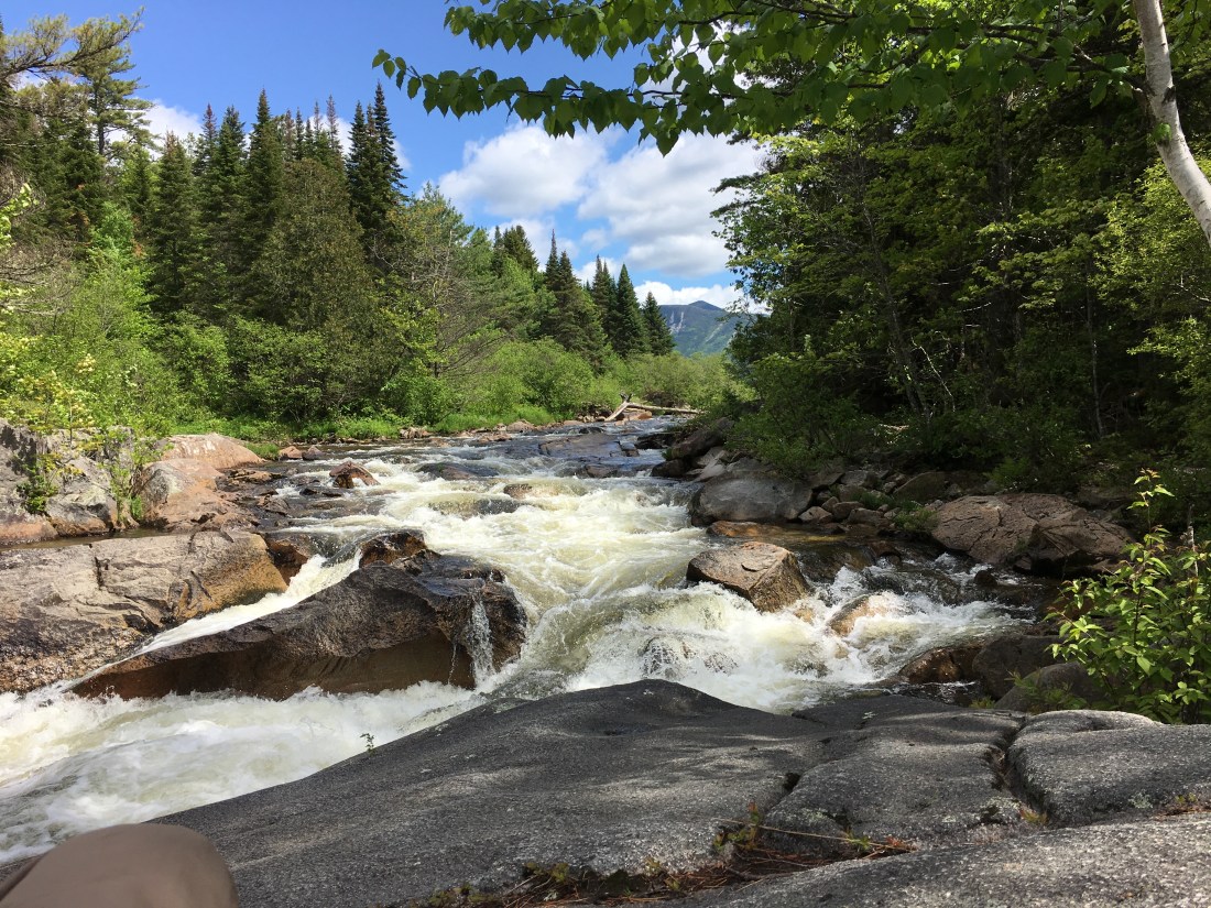
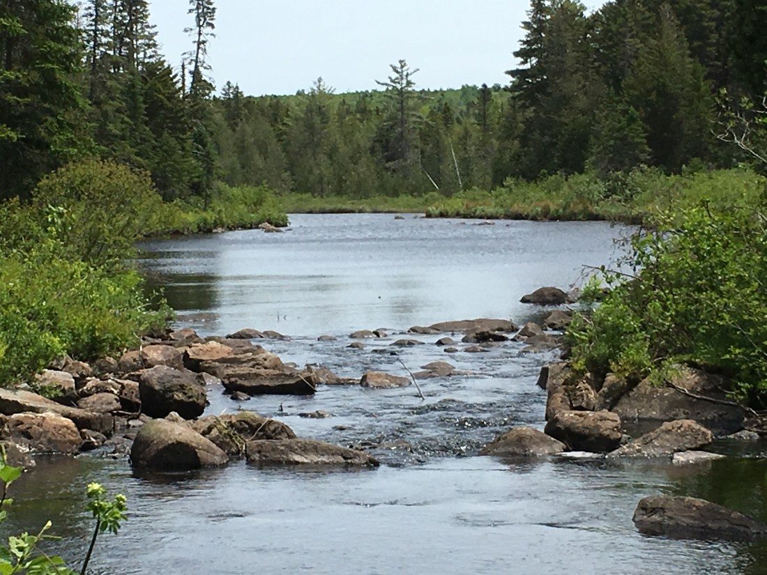
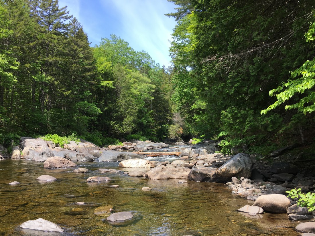
Tuesday brought the first significant river ford, which still was passable by rock hopping due to the early snow melt this year and sunny weather. I crossed on rocks just upstream of the picture location.
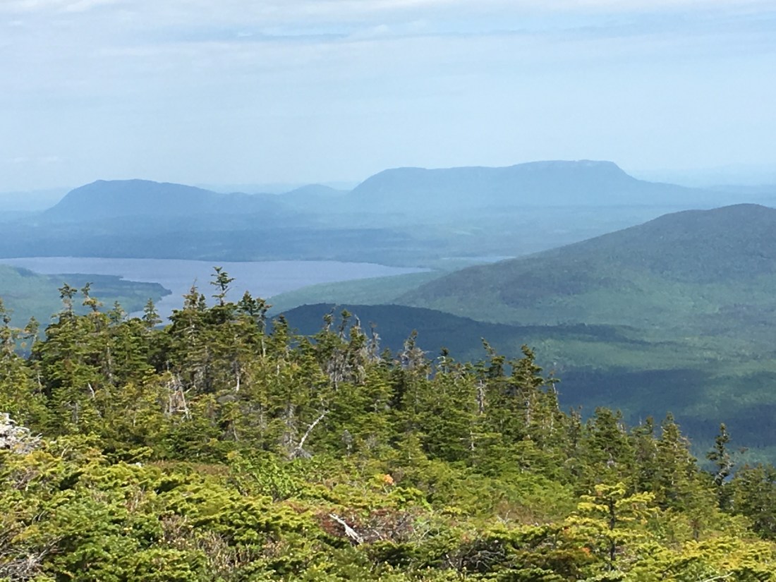
Wednesday took me over four peaks: White Cap Mountain, Hay Mountain, West Peak, and Gulf Hagas Mountain. There was very little level ground this day, as the trail ascended and descended each peak.
Wednesday night brought thunderstorms that lasted into Thursday morning. I was lucky enough that the rain had subsided before departing the lean-to, and I was only exposed to a bit of light rain on the rocky ascent of Chairback Mountain. Upon arrival at the Chairback Gap lean-to, time was taken only to have hot tea before getting into my sleeping bag to warm up before dinner.
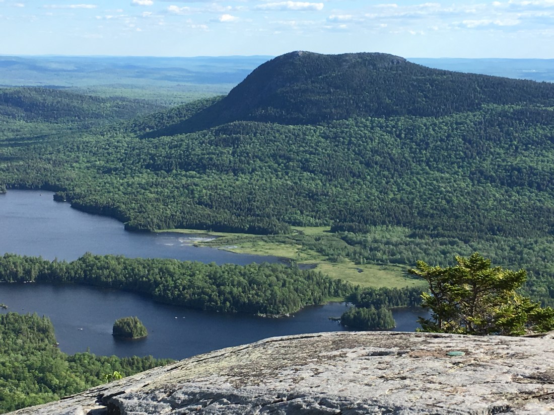
Friday brought more good weather and the river levels were still relatively low for fording, despite the rain. I crossed four more peaks before reaching camp for the night.

Saturday was the final full day of hiking, bringing me within three miles of the end of the wilderness. After three fords, and a few roller coaster ups and downs, the 100-Mile Wilderness was almost behind me.
Sunday brought me to the opposite edge of the wilderness as I exited at Maine Route 15, and continued three miles to Shaw’s Hiker Hostel in Monson.

Monday turned out to be a good day to rest, as afternoon thunderstorms have begun. The forecast looks good for the rest of the week and I expect to be in Caratunk on Thursday, and will take advantage of the canoe ferry across the Kennebec River on Friday morning. While I have been safely crossing rivers with fellow hikers up to now, the Kennebec is not safe for fording and the Appalachian Trail Consevancy sponsors the shuttle to take hikers safely across.
Please look for for another post in a week or so.

Congrats on completing the 100 Mile Wilderness! Huge accomplishment and extraordinary photos. Wishing you optimal weather as you continue.
LikeLike
Thank you. Weather so far has been great. Minimal rain, mostly at night.
LikeLike
Great start Phil and thanks for pics and the insights. Stay safe and I’m looking forward to the rest of your adventure
LikeLike
Thanks, Ed. Glad to you have you along for the trip.
LikeLike
Your pictures are amazing! Looking forward to seeing more!
LikeLike
Thank you. I posted again last night.
LikeLike
Thank you so much for your detailed updates and pictures. Really helps to understand the magnitude of your undertaking and appreciate what beauty surrounds us. Enjoying following your trip. Stay safe and enjoy every moment to the fullest.
LikeLike
Thank you for the kind words. Safety will be number 1 priority!
LikeLike
Hi Phil…Thanks for sharing your travels. Your photos are beautiful. Please remember my offer when you make it to the White Mountains.
Joan
LikeLike
Thank you. It looks like I will be arriving later than expected. I was overly ambitious in my schedule, trying to make up for delaying my start by 6 days. Will keep you posted.
LikeLike