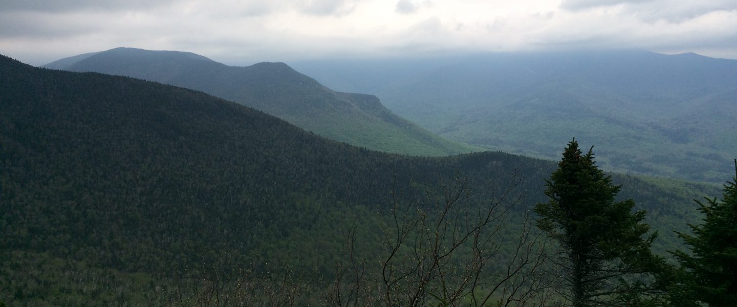
I entered Connecticut last Thursday, August 9, at Sages Ravine. The stream at the bottom of the ravine has several cascades, but I never seem to be able to capture them adequately with my camera (and so I did not try). The ascent from the ravine headed straight up to the summit of Bear Mountain. There was plenty of scrambling up the rocky slope and I was glad I did not have to descend by this route. From the summit, I was able to look back to Mt. Everett and Mt. Race in Massachusetts, as well as look forward to the upcoming trail in Connecticut.

I had planned to spend the night in Salisbury and was glad to find good trail conditions from Bear Mountain into town. Even though I was meeting my son, Brian, in two more days, it was time to dry out and do laundry after the rain in Massachusetts. Being in town provides other amenities I miss, so after a shower I headed over to the White Hart Inn for a burger and a cold beer. The Sea Hag IPA (India Pale Ale) was a delicious local selection. After dinner, I went to the local market to supplement my food supply, and I also picked up a pint of Ben & Jerry’s Cherry Garcia ice cream, which I ate in one sitting for dessert.
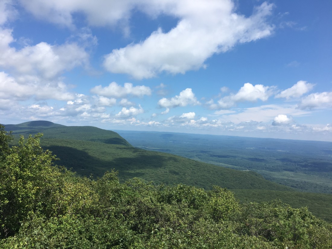
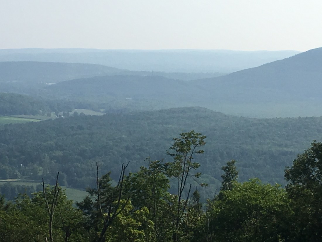
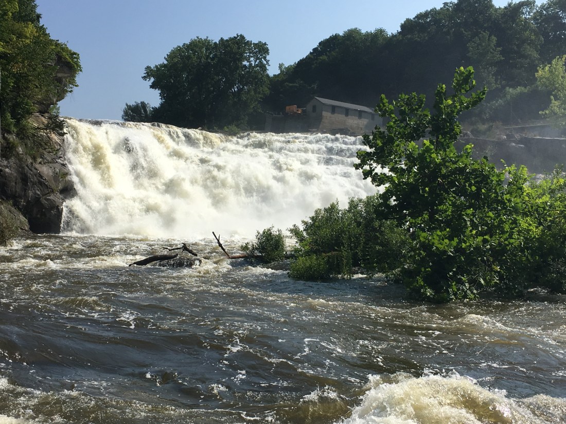
Apparently, my dinner and dessert selections provided a good base of fuel for my hike on Friday, as I was able to cover 24.8 miles. This is the most miles I have hiked in one day so far, and a feat I may not repeat. I also was inspired by the weather forecast, as I knew it would be raining on Saturday and so I decided to “make hay while the sun was shining.” The day started with an ascent of Prospect Mountain and proceeded on to Falls Village. The Housatonic River drops 60 feet at Great Falls, providing a spectacular, thundering water fall.
The afternoon found me listening to the drone of engines from the Lime Rock Speedway. It seemed that no matter what direction the trail turned, the noise continued for well over an hour.
I was concerned as evening approached whether I would have the energy to finish the last 3.7 miles to the shelter, when I came to a road crossing and scored some trail magic. A man named Paul was there with ice-cold Coke, bananas, and moon pies — the latter being alternating layers of cake and marshmallow, covered in chocolate, reported as containing 300 calories. After a Coke, banana, and moon pie, and some discussion about Paul’s upcoming hiking trip to New Hampshire with his son, I was adequately fueled and ready to go. I completed the hike as the sun set, made a sandwich for dinner, and headed to bed.
The next morning, I had 7 miles remaining to arrive in Kent, CT to meet Brian. The morning started with a steep ascent up to St. John’s Ledges and Caleb’s Peak. I finished the rocky part of the day just before the rain started and safely descended to Kent.


Brian graciously chauffeured me on errands and I replaced my trekking poles at REI. The pair I had for the last 15 years or so had finally given out on the trip. After lunch on Sunday, Brian drove me back to Kent and, after waiting for the rain to stop, I was back on the trail. The trail detoured into New York over Schaghticoke Mountain, before crossing back into Connecticut.

Monday morning I crossed back into New York, this time for good, after hiking the last three miles to the border.

Amazing progress Phil and your photos continue to be extraordinary!
LikeLike