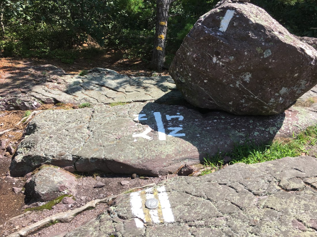
I crossed into New Jersey last Saturday, August 18, near a place called Prospect Rock. The rocks had dried out by this point in the afternoon and my outlook began to improve as I made my way to camp for the night.
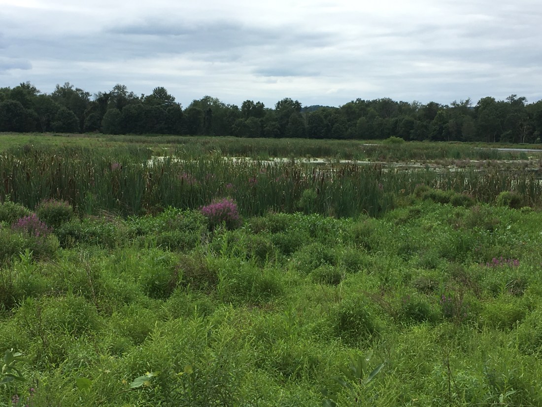
The trail in New Jersey follows the New York-New Jersey border, often less than a tenth of a mile from New York. Sunday morning included a mile-long boardwalk across a large bog, although being in New Jersey, I prejudicially kept thinking of the word swamp (I blame Bruce Springsteen for this — “somewhere in the swamps of Jersey”).

Late morning brought me to a road crossing with a choice between a hot dog vendor and a farm stand with a deli and ice cream. I opted for two hot dogs with sauerkraut, a bag of chips, and a can of ginger ale. In addition to feeling like having a hot dog, the hot dog stand had a Grateful Dead “Steal Your Face” sign on the side, which may have been the deciding factor. While there was nothing stopping me from crossing the street for ice cream as well, I decided not to be a glutton and headed back to the trail.
After my early lunch I crossed over Pochuck Mountain and through a conservation area that included a large marsh that appeared to attract a large number of birds. I passed several bird-watching couples with binoculars.

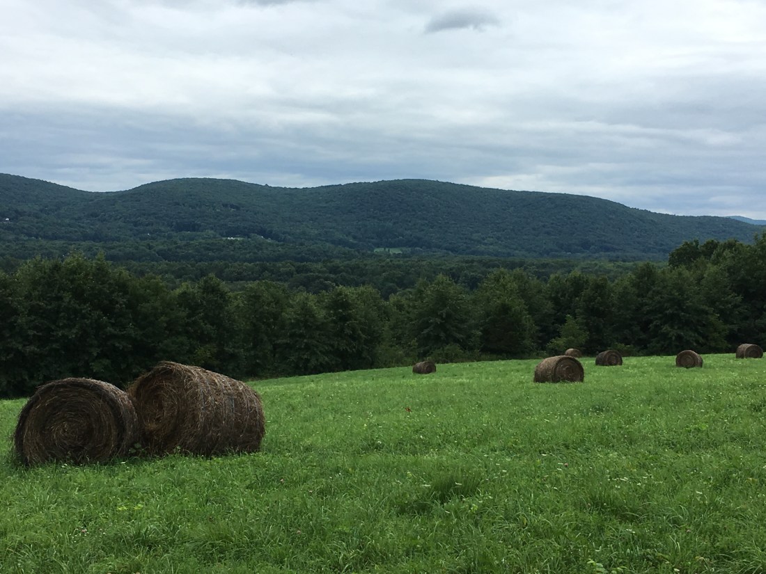
As I neared the end of the day, I had another change in scenery as I crossed a field of hay bales. My destination was Lott Road, which would take me over the state line into New York where I was able to camp behind the Town Hall. My real agenda, by no means hidden, was to dine on Buffalo-style chicken wings and a cheeseburger, washed down with a cold a beer, at the Wit’s End Tavern. This also gave me a chance to become better acquainted with Spork, Happy, and Kayak — fellow south-bounders that I occasionally meet on the trail.
Monday brought me to High Point State Park in New Jersey and a new geological phenomenon, known to thruhikers as the “Pennsylvania rocks.” I had first heard of them reading Bill Bryson’s book, A Walk In The Woods. The worst are jagged rocks, with their pointy corners or edges sticking up out of the ground. So far, the rocks are not as bad as they are hyped up to be. I have hit plenty of rocky sections in the past week, some with the dreaded pointy rocks, others with loose “scree” rocks, some covered with medium size rocks, and others that look like an avalanche of large boulders. All have been separated by sections of easy trail. I have been told I am through the worst of them. Regardless, as I am now approaching Duncannon, PA, where I have been told the rocks will end, I am finding them quite tolerable compared with the mud in Vermont.

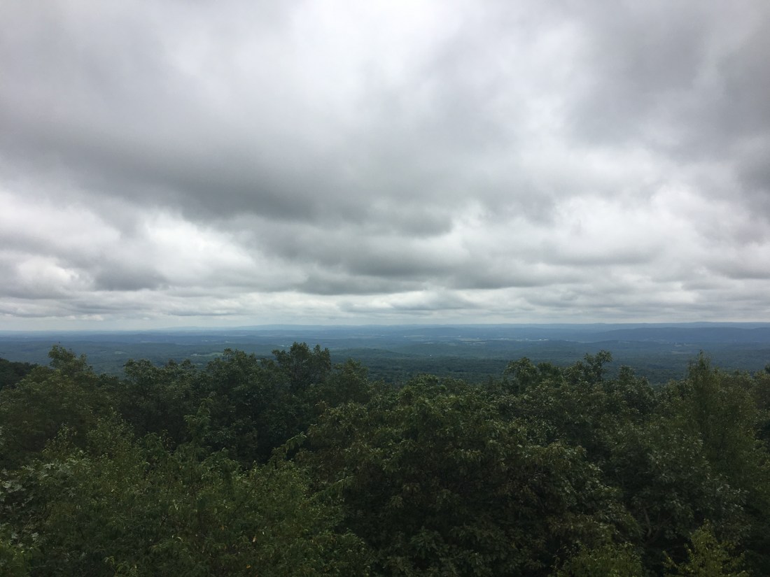
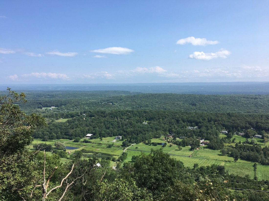
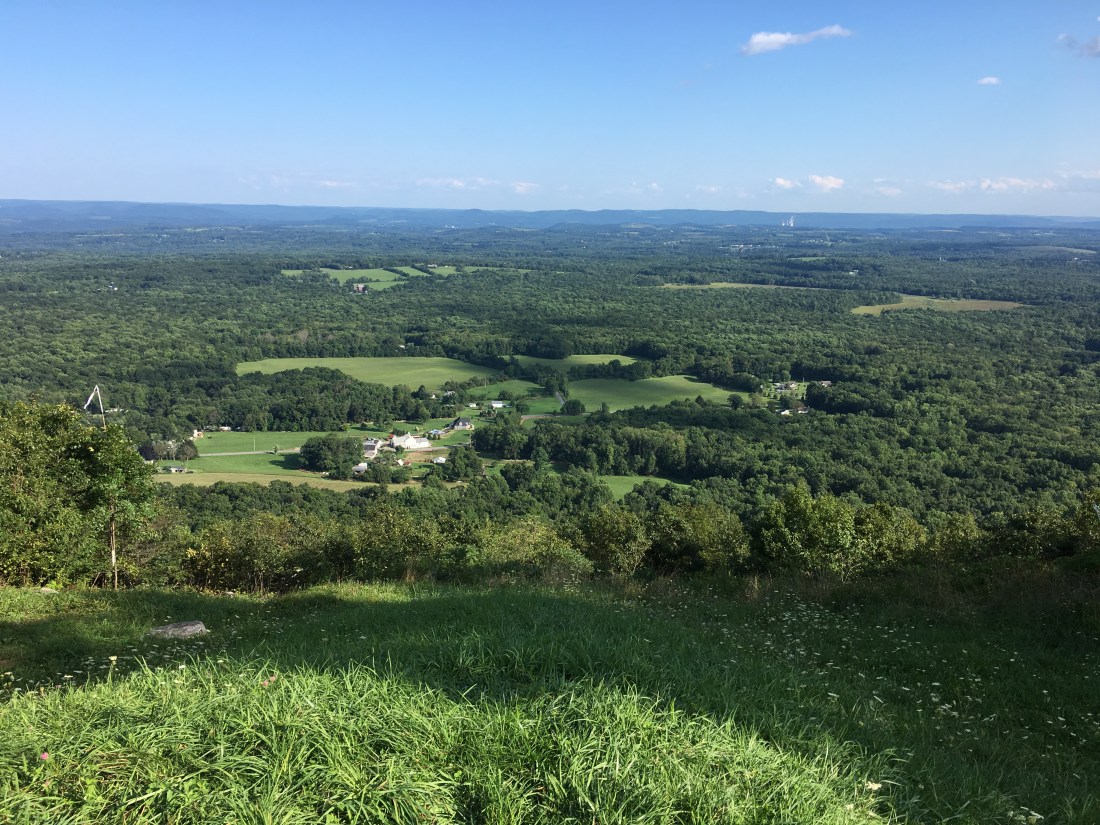
As I proceeded through the week, I found the trails in New Jersey to be agreeable to my feet and continued to make good progress toward Springer Mountain in Georgia. Lunch on Tuesday included some nice views from a pavilion on Sunrise Mountain.

Wednesday brought me to the edge of the Delaware Water Gap National Recreation Area, although views this day were still dominated by rural landscapes, whenever the trail ascended out of the woods.
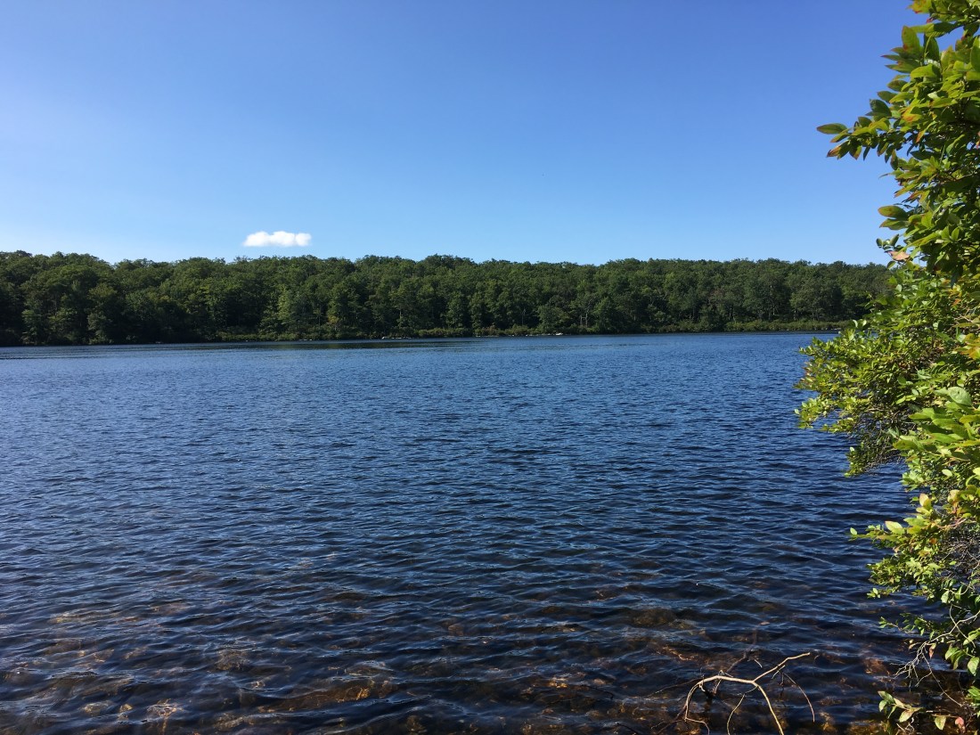
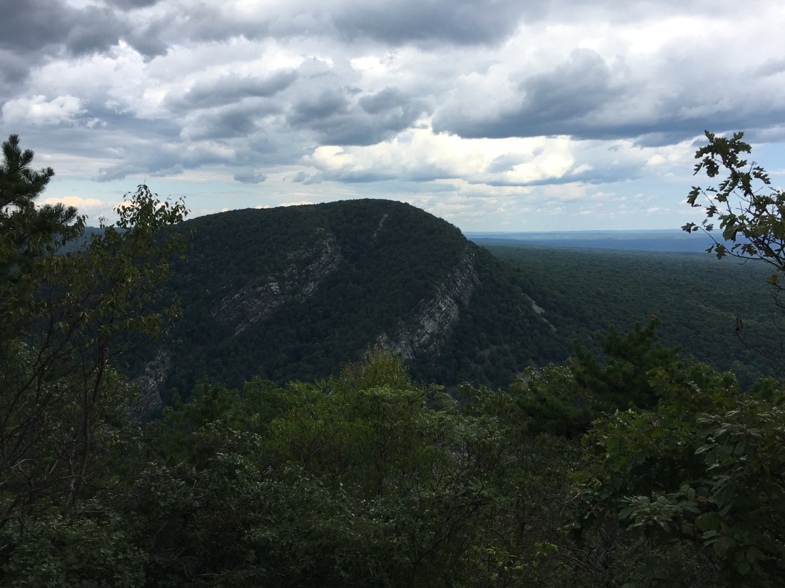
Thursday brought me to the Delaware River. I had a nice overlook from Raccoon Ridge on Kittatinny Mountain, before descending to Sunfish Pond, the southernmost glacial tarn along the Appalachian Trail.

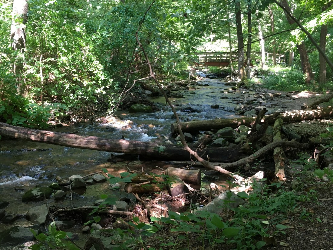
After descending alongside Dunnfield Creek, it was time to cross the Delaware Water Gap. The footpath is a pedestrian lane on the Interstate I-80 bridge. While I am sure it is nearly perfectly safe, it was a bit intimidating walking alongside large trucks, separated by a waist-high, 10” thick concrete divider. I put my hat in my pocket to avoid having it blown into the river below by the breeze from a passing truck, and stopped just once, to take a picture at the state border as I passed into Pennsylvania.

The trail into Pennsylvania quickly ascended 1000 feet above the river, providing views into the water gap, as well across the water gap from Mt. Minsi in Pennsylvania to Mt. Tammany in New Jersey.
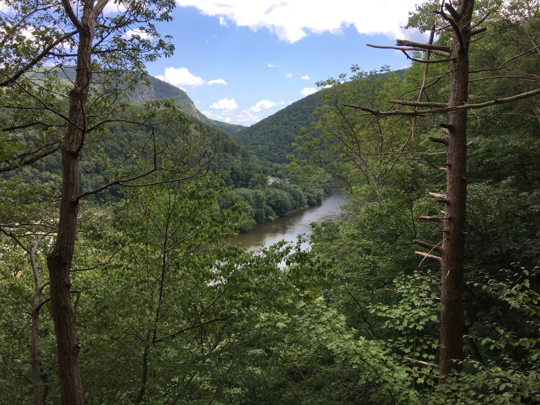
As the afternoon proceeded, I hiked along a ridge on Kittatinny Mountain in Pennsylvania, with occasional views into the valley below.
The hike has now proceeded halfway across Pennsylvania, which I will describe in my next post.
