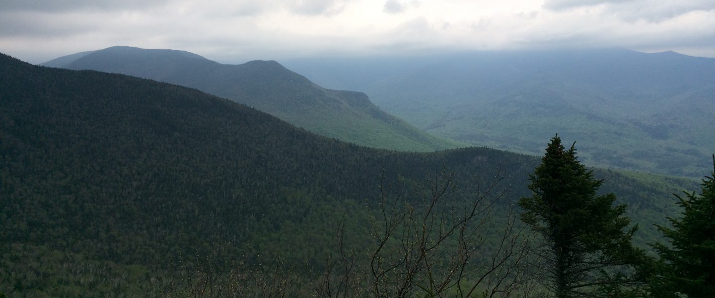
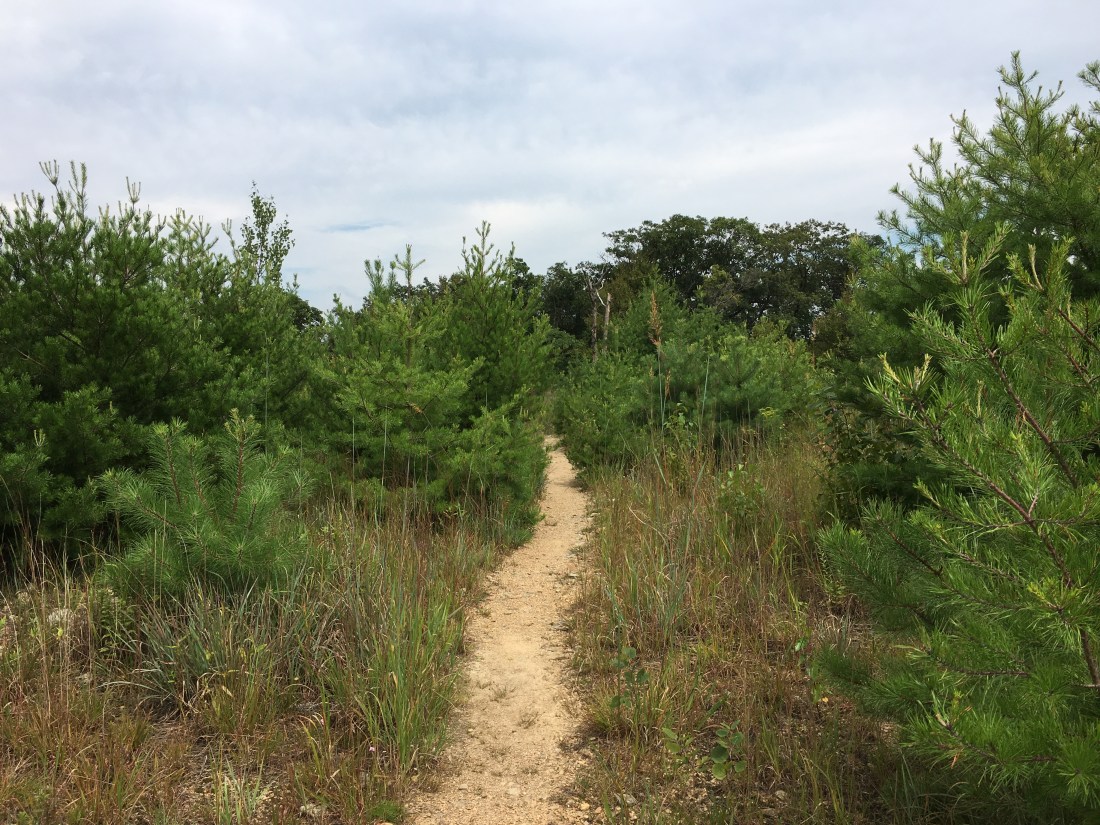
I completed my trek across Pennsylvania on Thursday, two weeks and 229 miles after entering at the Delaware Water Gap. It is not the most scenic state on the trail; however, the trail and facilities are well-maintained and despite the rocks, I maintained a pace better than two miles per hour. The trail was predominantly a series of ridge walks around 1500 feet above sea level and about 1000 feet above the valleys below. Most of the time was spent in forests, with an occasional scramble across a rock formation and sometimes breaking out of the trees to gain a view. The southernmost part of the state also included some walking through or around fields of corn and soybeans.
My first full day in Pennsylvania was Friday, August 24. Views that day must have been nonexistent or unremarkable, as I have no pictures on my phone. The highlight of the day was lunch at the Cafe on Broadway in Wind Gap, where I enjoyed a cheeseburger and a thick, strawberry milkshake. Normally, I would not have walked into town for lunch, but after three weeks in wet shoes I needed to visit the CVS pharmacy to take care of my feet.
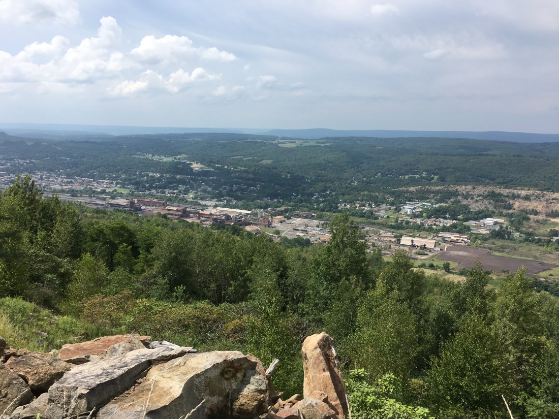
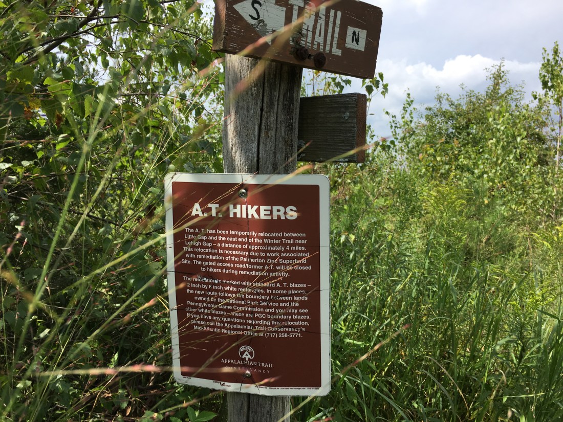
Saturday brought me to a unique location on Blue Mountain overlooking the town of Palmerton, which was the site of a zinc smelting factory for most of the twentieth century. The smelting process released heavy metals into the water and air, and the air emissions drifted toward Blue Mountain, killing the vegetation and wildlife on over 2,000 acres. Reforestation of Blue Mountain is finally taking hold after being on the EPA Superfund list for years, although I observed that some barren areas still remain. The Appalachian Trail has been rerouted several times in this area.

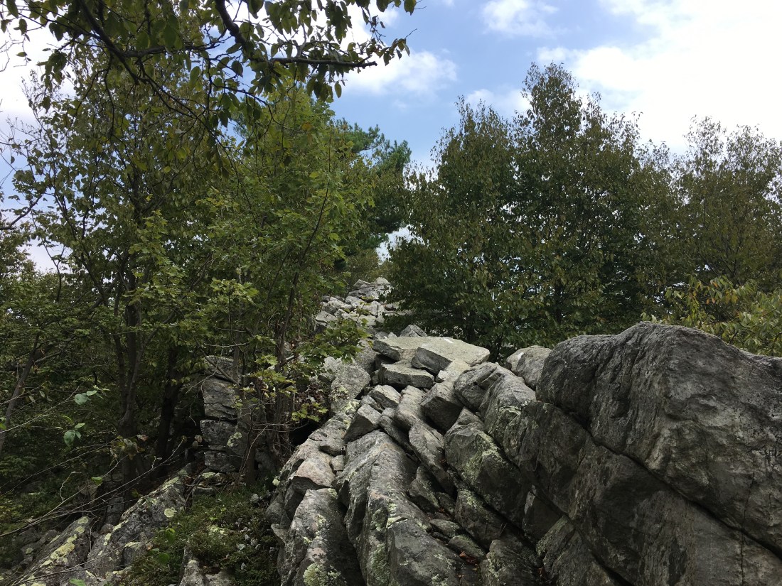
The trail, on Sunday, took me past several rocky sections including Bake Oven Knob and the Knife Edge. Bake Oven Knob provided a nice view, although the area suffers from significant graffiti. Signs warn that possession of spray paint cans is illegal, but do not seem to be much of a deterrent. The Knife Edge was simply a tedious scramble across a ridge of large boulders. Unlike the knife edge on Mt. Katahdin in Maine (which fortunately, from my perspective, is not part of the Appalachian Trail), this knife edge did not drop precipitously.


Monday brought me to the Windsor Furnace area and a nice lunch spot at Pulpit Rock.
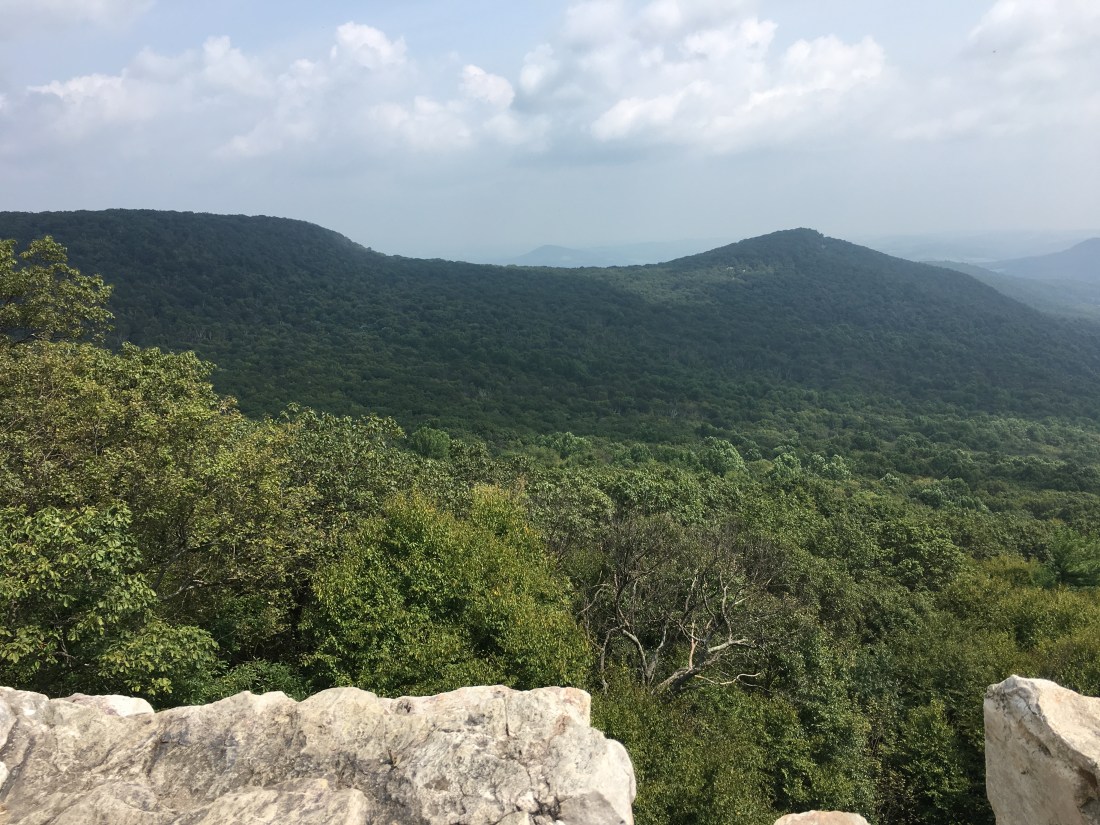
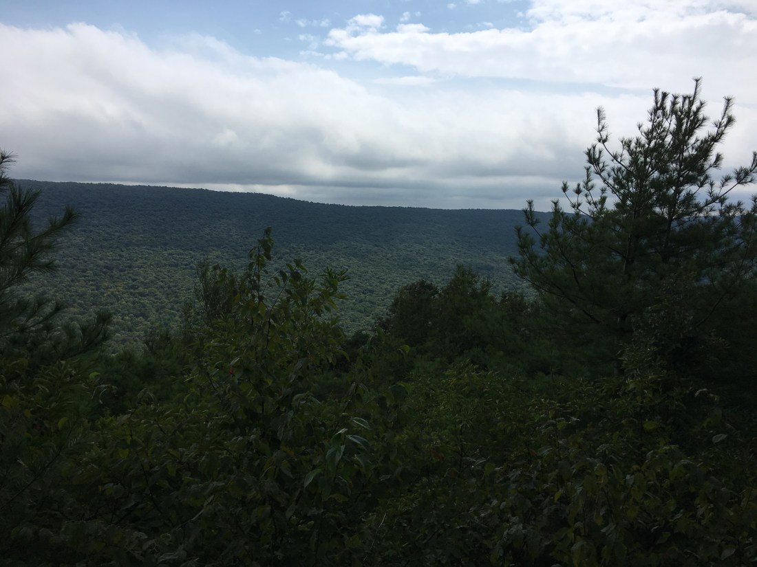
Scenery the rest of the week was limited as I was mostly walking through forests and the few overlooks were mostly overgrown. I did have nice views on Wednesday from the Shikellamy Overlook and Kimmel Lookout.
Thursday, I passed under interstate highway I-81 and over Swatara Creek. Just before reaching my destination at Rausch Gap, I came to an area flooded by beaver activity. While the area I had to cross was outside the beaver pond, it appeared that water from the pond was breaching the top of a berm and flooding the surrounding area. After surveying the situation and finding no expedient way around, I changed from my hiking shoes to my Crocs, which I wear as camp shoes in the evening, and reluctantly waded across.

On Friday, I was in the forest virtually all day. I did pass one viewpoint at Shikellamy Rock. While it was overgrown and did not offer much of a view, it did offer some relief from the “green tunnel” in which I had been traveling.
Friday night brought rain and relief from the heat, but not from the humidity. Saturday morning started foggy and the day was overcast, at best. At one interesting point, the trail passed directly under a steel lattice tower of an electric power transmission line. While I had crossed many rights-of-way, this was the first to pass directly under a transmission tower. The day ended crossing the Schuylkill River into the town of Duncannon. I took relief from my travels at the Doyle Hotel. The building was constructed over 100 years ago and has seen better days, but $25 for a room with a shared bath down the hall was worth a try. As it turned out, I was satisfied that I received my money’s worth. The owners were very friendly and I enjoyed Buffalo-style chicken wings and a cheeseburger at the bar downstairs before heading out for what turned out to be the largest mint chocolate chip ice cream cone I can imagine — three scoops the size of baseballs made me glad that I ordered the small size!


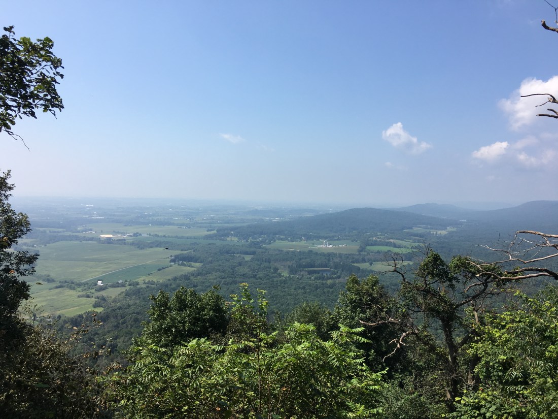
Sunday brought me to some flatter ground after I descended from Cove Mountain. The trail in this area crosses land purchased by the Appalachian Trail Conservancy to preserve space for the trail. The land is either leased to farmers, or sold with a permanent easement for the trail. I am not certain which; it may vary among the various parcels

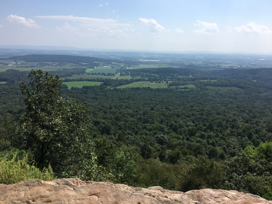
Sunday evening was a special treat as I was the guest of my Delta Phi fraternity brother, John Caddell, and his family. Departing on Monday, well-fed and with clean clothes, John hiked with me for the first two miles or so. The heat and humidity returned for the week and I was able to stop for a cold drink in Boiling Springs between crossing more farmland and ascending up to Center Point Knob.
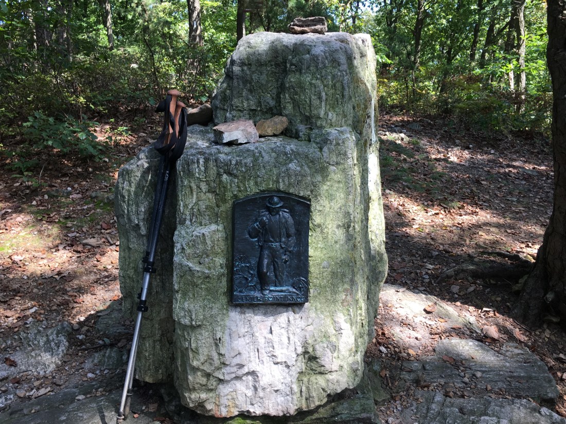
The official midpoint of the trail varies from year to year as various sections of the trail are rerouted. On Tuesday afternoon, I reached the official 2018 midpoint — 1095.5 miles down and 1095.5 miles to go.

The rest of the week was under tree cover. I felt fortunate to have the shade given the temperature was in the low 90s all week. On Thursday I reached the Mason-Dixon Line and crossed into Maryland.

Halfway there! Sending wishes for lots of trail magic as you appreciate Virginia!
LikeLiked by 1 person
Thank you! Virginia seems to be going by quickly. A lot of rain, but at least the weather has been good for the main attractions.
LikeLike