I have covered a lot of ground in the past two weeks — approximately 230 miles. After leaving Shenandoah National Park, the trail paralleled the Blue Ridge Parkway for about 100 miles. More recently, I have been following mountain ridges past some of the iconic sites in the area. I am now working my way southwest toward the Virginia/Tennessee border and hope to be there in another 10 days.
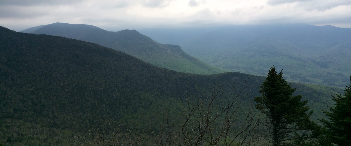
After taking a day off in Waynesboro, I headed back out on Tuesday, September 25. As usual, or so it seems, it was raining. By early afternoon the rain stopped and I had my first views in a week at Cedar Cliffs. I was hiking with a southbound hiker that I met recently named “Jester,” as we both had a common goal for the day to hike 20 miles to Reids Gap at VA Route 664 and spend the evening camping at the Devils Backbone brewery. The brewery offers shuttle service to and from the trail. Although we had just been in town, we consumed large quantities of food and drink, including ice cream sundaes for dessert.
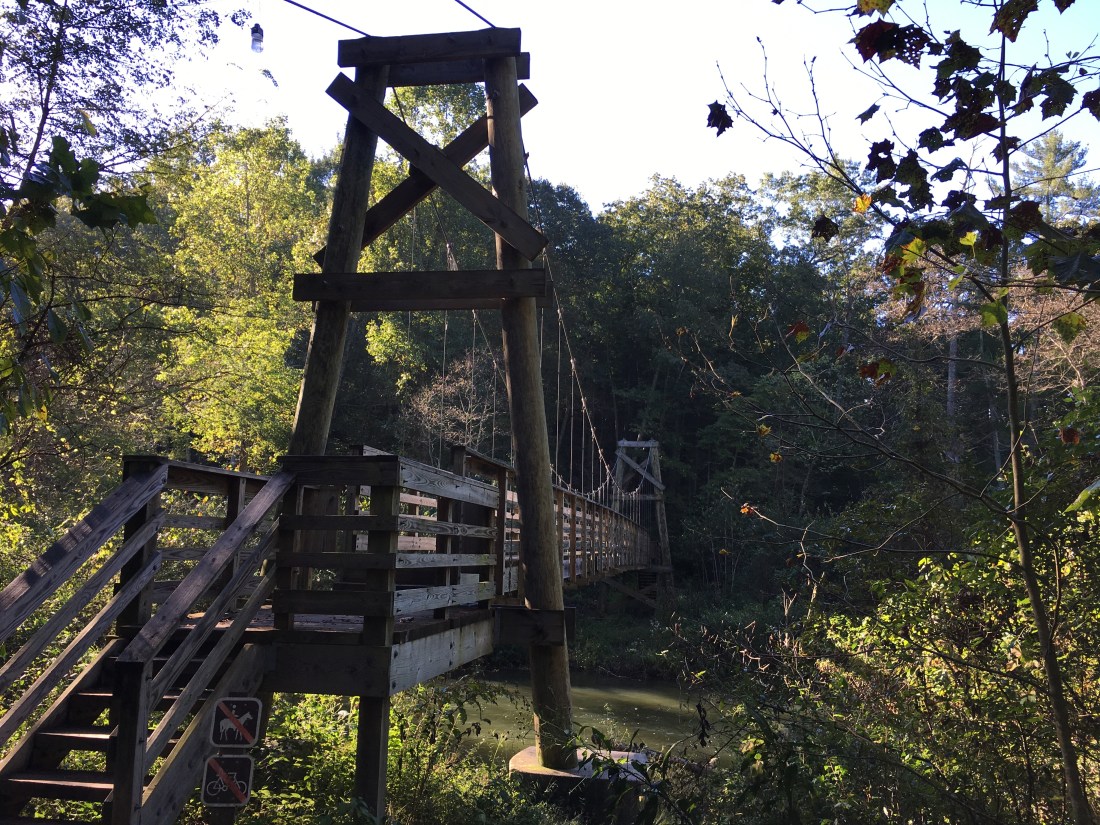
Good weather continued through most of Wednesday. I had some nice views in the morning from Three Ridges Mountain. After descending and crossing the Tye River on a suspension bridge, I ascended The Priest. At 4,063 feet, The Priest is the first 4,000 foot peak on the trail south of Killington in Vermont. The grade was easy with plenty of switchbacks, ascending 3,000 feet in four miles. However, about two-thirds of the way up it was necessary to descend off the trail and take cover from a passing thunderstorm.
I woke Thursday to steady rain and quickly decided that the planned 22-mile hike was not going to happen. Rather than sit all day in a three-sided shelter, I decided to see if I could make 16 miles. The hike started off well enough, but the temperature was in the 50s and as the wind picked up, I quickly became chilled. Fortunately, my plan included an early escape option at 6.6 miles. Upon reaching the Seeley Woodworth Shelter shortly before noon, I quickly changed clothes, made tea, and got into my sleeping bag, which is where I spent the rest of the day.
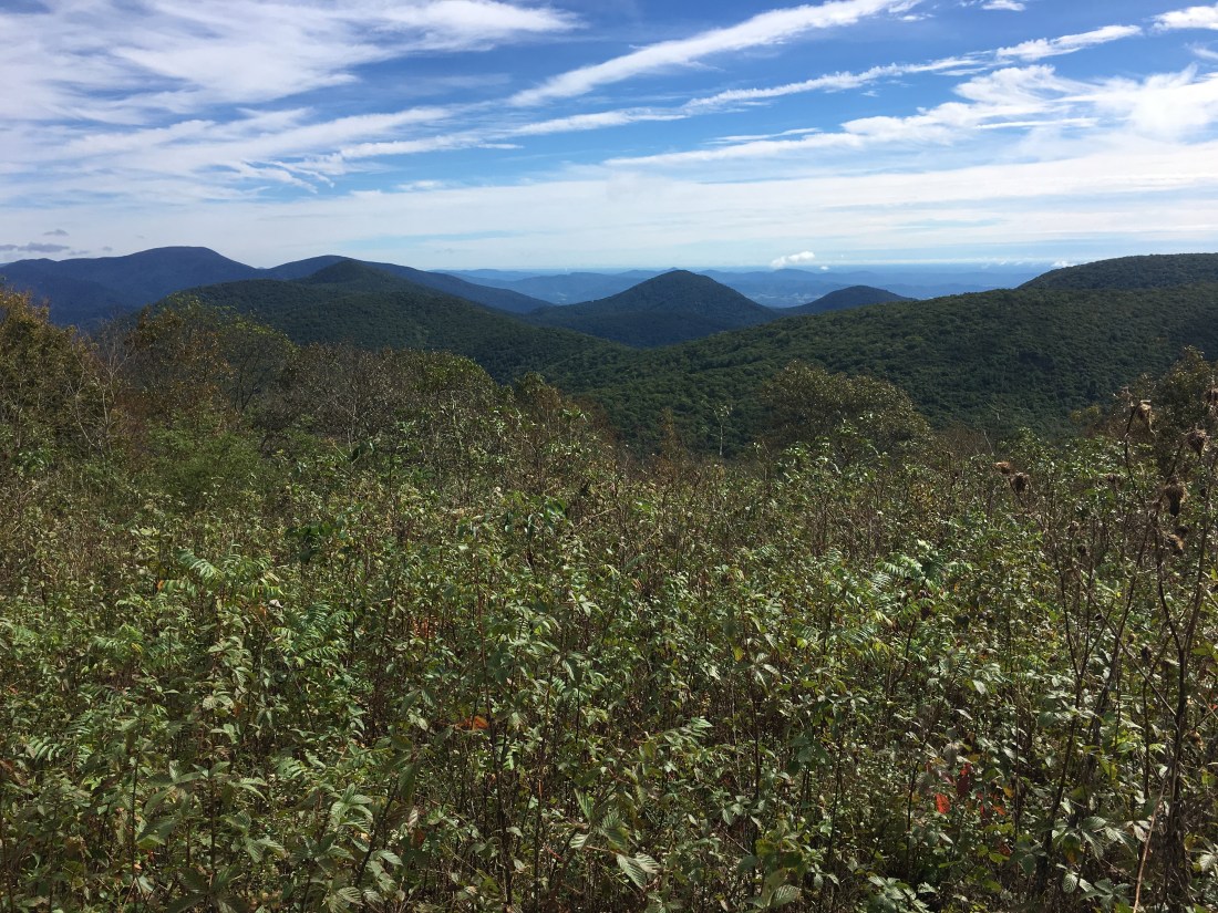
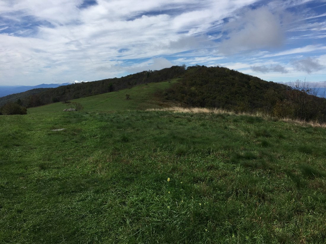
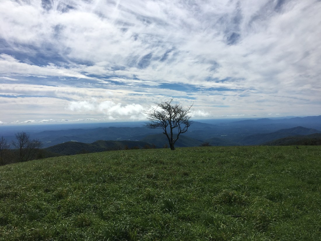
The rain continued through the night, but the skies cleared just before sunrise. The hike on Friday followed a ridge, ascending and descending several peaks, including the northernmost grassy balds on the trail, Tar Jacket Ridge and Cole Mountain. The last peak of the day was the wooded, 4,059-foot summit of Bald Knob, which ironically is not a bald.
Saturday morning began hiking around the Lynchburg Reservoir, with the trail providing partial views through the trees to the water below. At the south end of the reservoir, I crossed the Pedlar River and began the ascents of Rice, Punchbowl, and Bluff Mountains, before descending to Big Rocky Row and then to the Johns Hollow Shelter. Along the trail and at the summit of Bluff Mountain, I met some of the scouts and leaders from Boy Scout Troop 1028 in Charlottesville, VA. Between the older scouts who hiked over Bluff Mountain and the younger scouts who hiked up from the James River, I would say there were 20 scouts camping behind the shelter. Before I departed Sunday morning, I made a point of letting the Scoutmaster know that I appreciated how well-organized and respectful the scouts were.
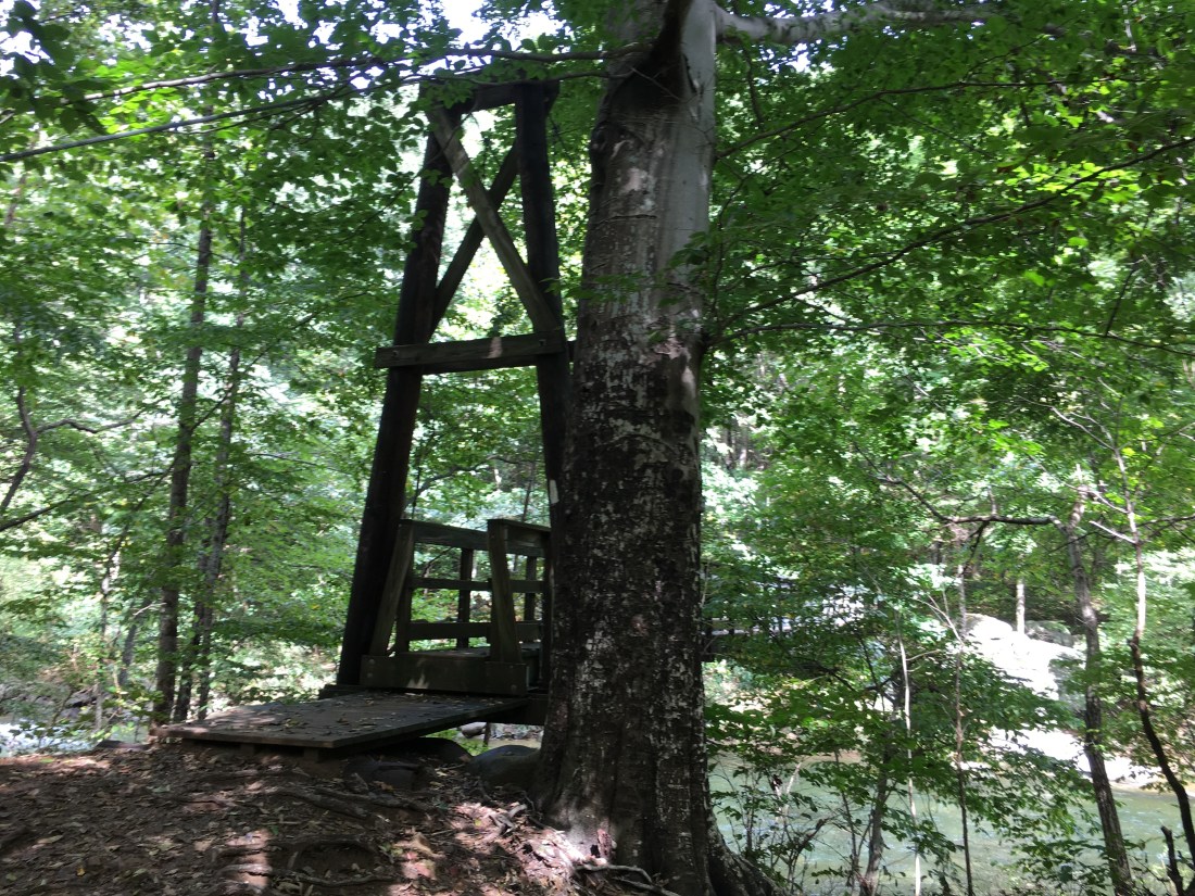
Sunday began crossing the James River on the longest footbridge on the trail. The day was overcast to begin, and I ascended into a cloud of mist as I headed up to Highcock Knob and Thunder Ridge. The flat rocks at the respective viewpoints made nice places for lunch and an afternoon snack, but no views were seen on this day.
As the daylight becomes shorter each day, it has become more difficult to hike as far in a day as earlier in the trip. As I headed into October, I decided that while night hiking by headlamp is not for me, hiking for an hour in the morning by headlamp would be an acceptable solution. If something was to happen in the morning, such as temporarily losing the trail, it would only be an hour until daylight. Also, evening chores such as hanging the bear rope and fetching water are much more easily done during daylight hours. I left camp on Monday at 6:00 and crossed the summit of Apple Orchard Mountain. Just before sunrise, as I descended, I heard quite a racket from a large group of hound dogs below. I was concerned whether I was descending directly toward them, especially after sun up when I could sense they were moving and I heard the whoopin’ and hollerin’ of their owners. It turns out October 1 was the first day of a special three-day bear hunting season. Fortunately, when I came to a trail junction, I could tell we were not headed toward each other. The rest of the day was viewless and uneventful, until I was caught in an afternoon rainstorm. Fortunately, I was less than 10 minutes from the next shelter and I stayed relatively dry.
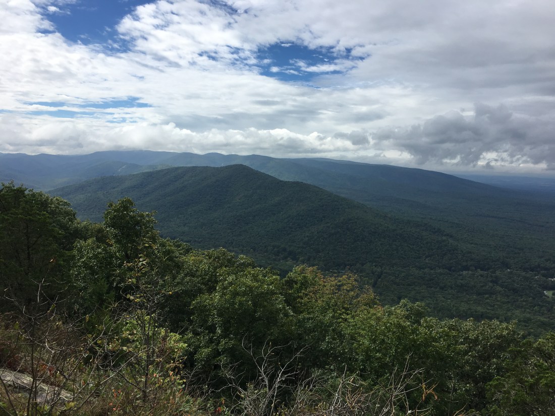
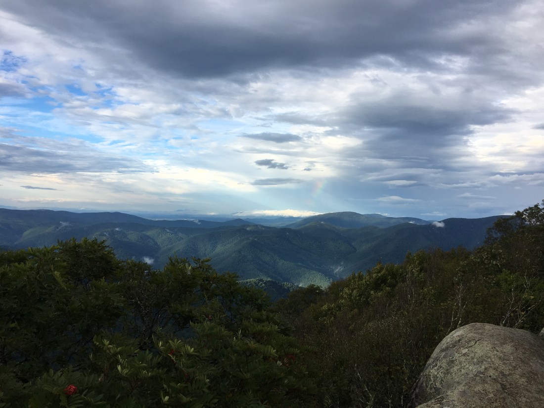
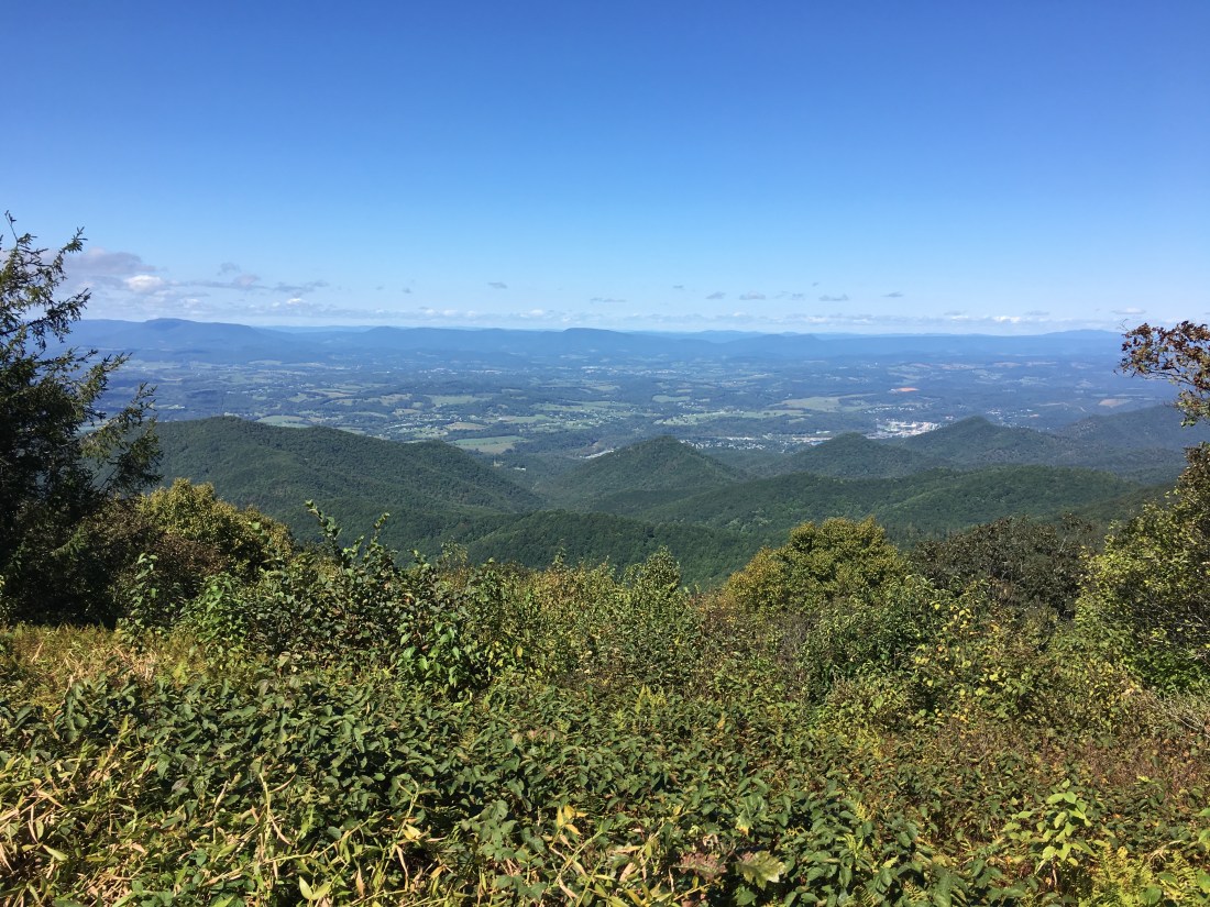
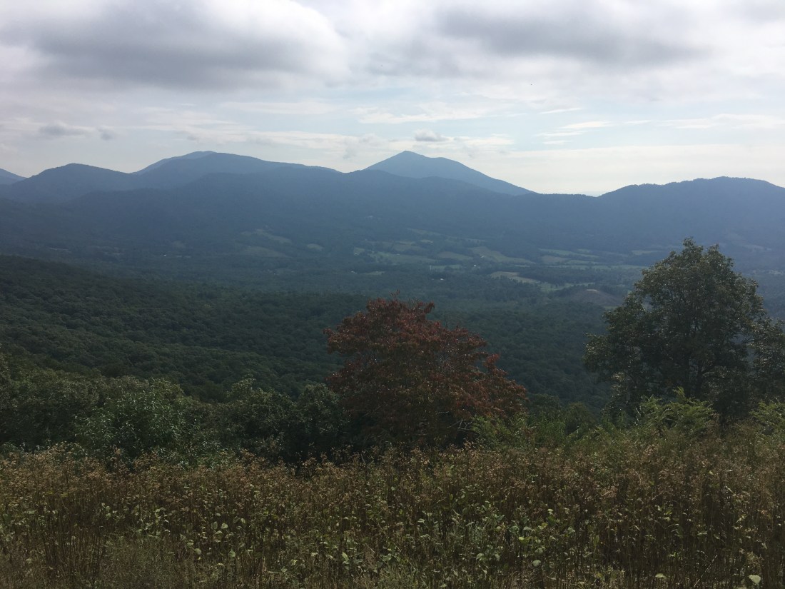
Tuesday brought several viewpoints and several crossings of the Blue Ridge Parkway. Unlike Shenandoah, where the trail is never far from Skyline Drive, the trail crosses the Blue Ridge Parkway less frequently. I surmise the ridge at this point was more narrow, resulting in the road crossings. Most of the views were similar and the best seemed to be of Sharp Top Mountain and Flat Top Mountain from the Peaks of Otter Overlook.
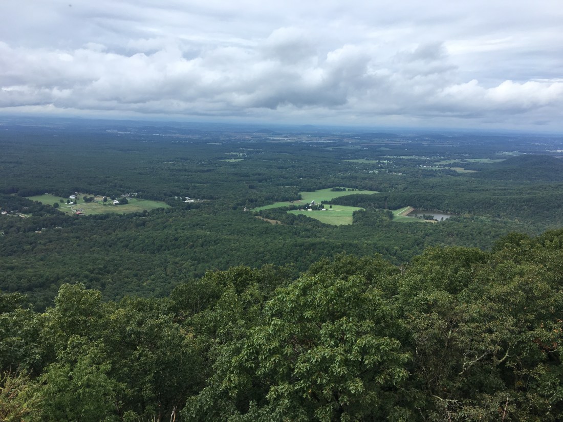
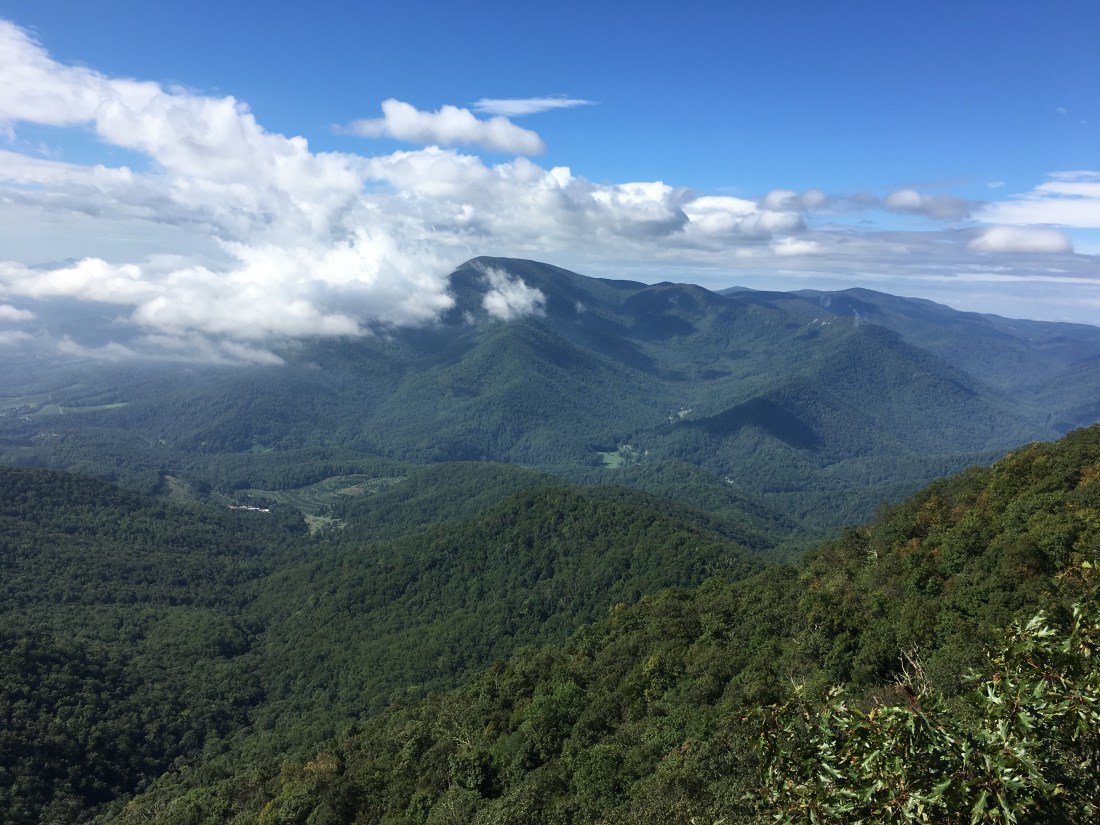
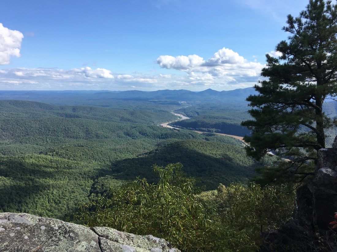
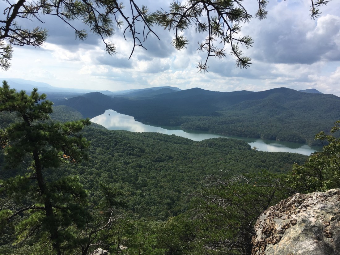
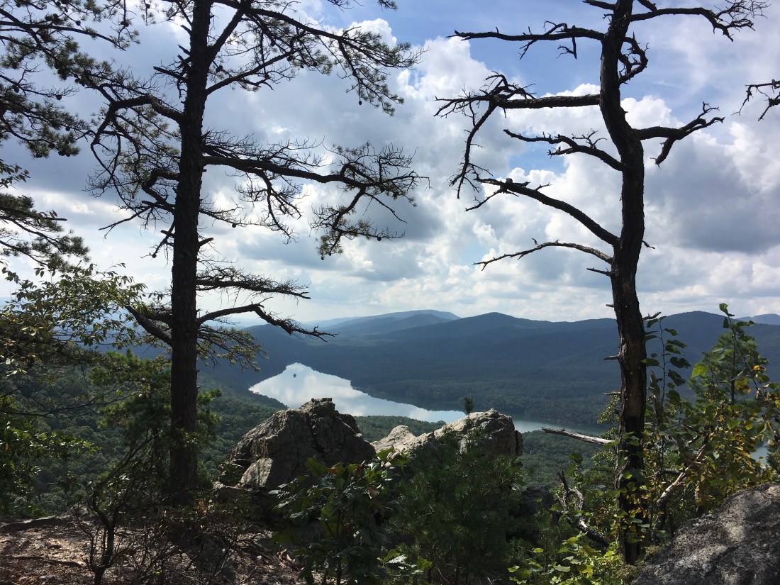
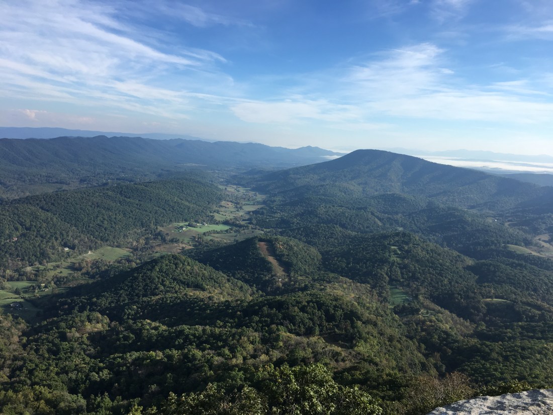
Wednesday morning was just a walk through the woods, but that afternoon, after crossing U.S. Route 220, I entered the most popular hiking area along the Appalachian Trail in Central Virginia. The trail ascended to a ridge that surrounds the Carvins Cove Natural Reserve and Reservoir, providing views from many different angles.
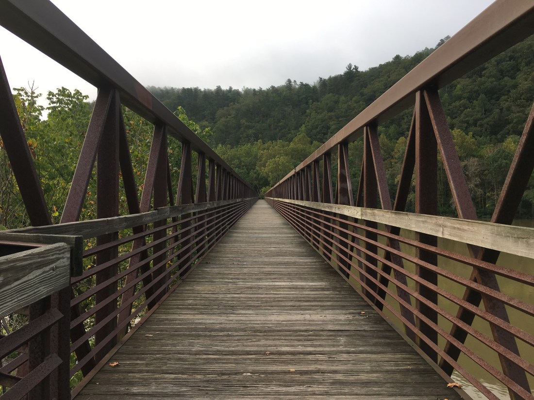
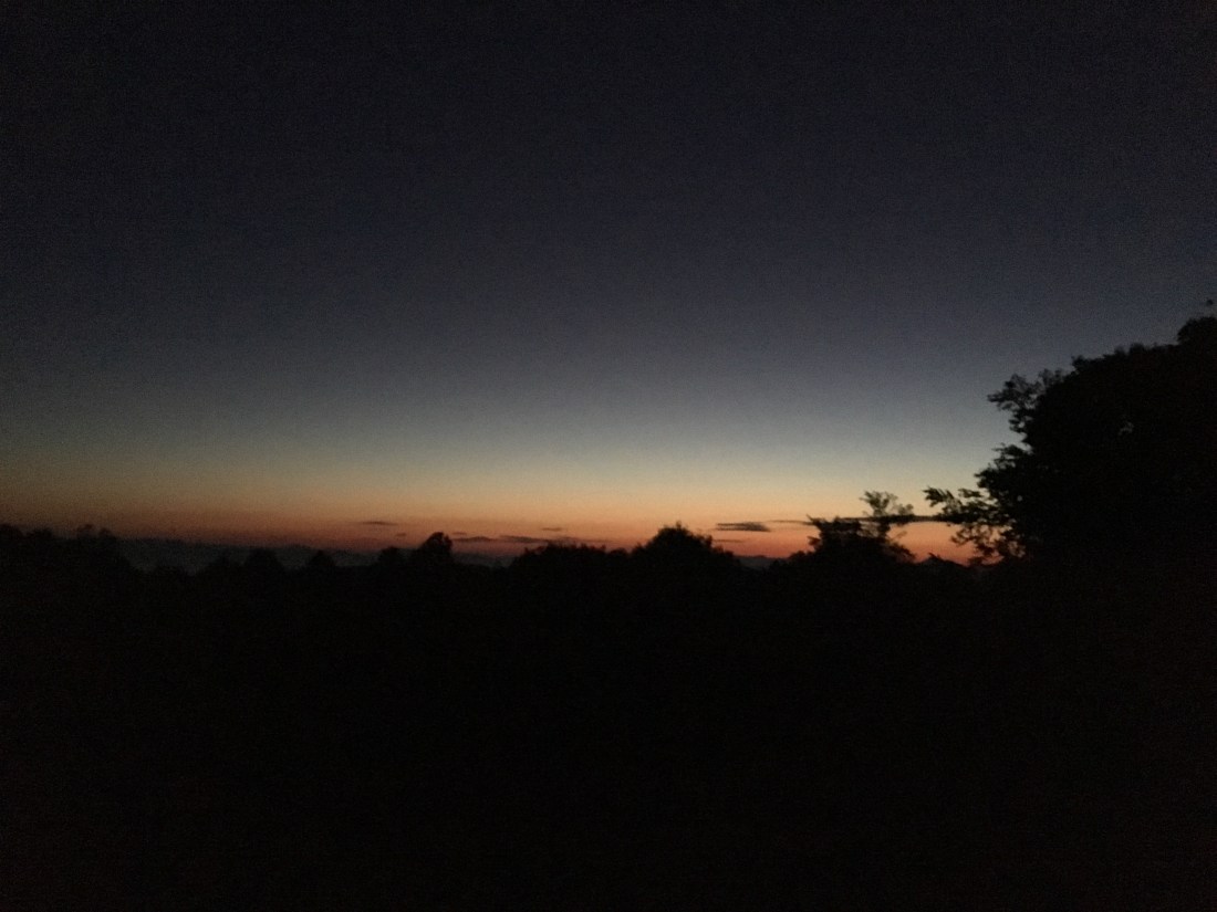
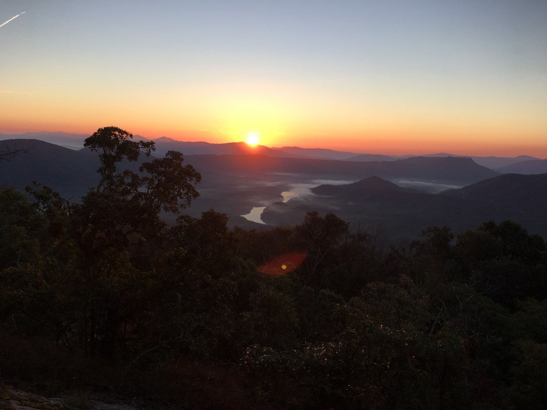
Thursday morning was a long day, covering 23 miles and the “triple crown” of the local area. I planned to be up at 5:00, but I woke early and decided to get an extra early start, leaving camp at 5:00. The first attraction was the cliffs on Tinker Mountain. The name reportedly is derived from a group of Revolutionary War deserters who hid on the mountain and earned a meager living repairing pots and pans. It was still dark, but the lights from the town below made a nice view, as did occasionally turning off my headlamp and checking out the stars above. I had the good fortune to reach some open ledges just before daybreak that provided another view of the reservoir, and I enjoyed a spectacular sunrise while eating my first snack of the morning.
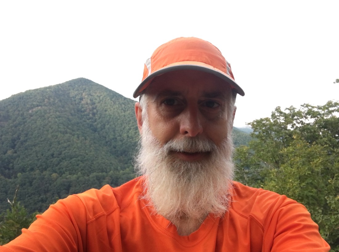
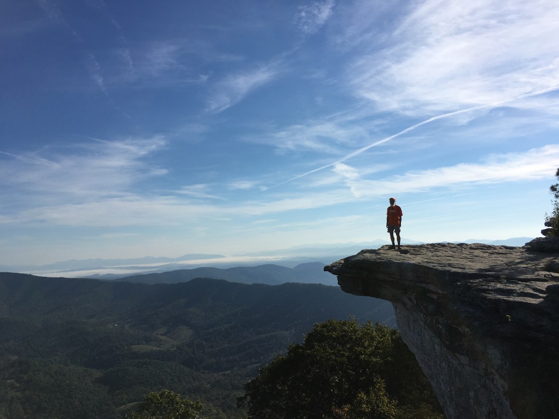
The next stop was McAfee Knob, which I suspect is the most well-known attraction in the area, if not on the entire trail. When I first arrived, it seemed smaller than I anticipated; however, after seeing myself standing on it in a picture taken by “Lars,” one of the other southbound hikers I recently met, I have a different perspective.
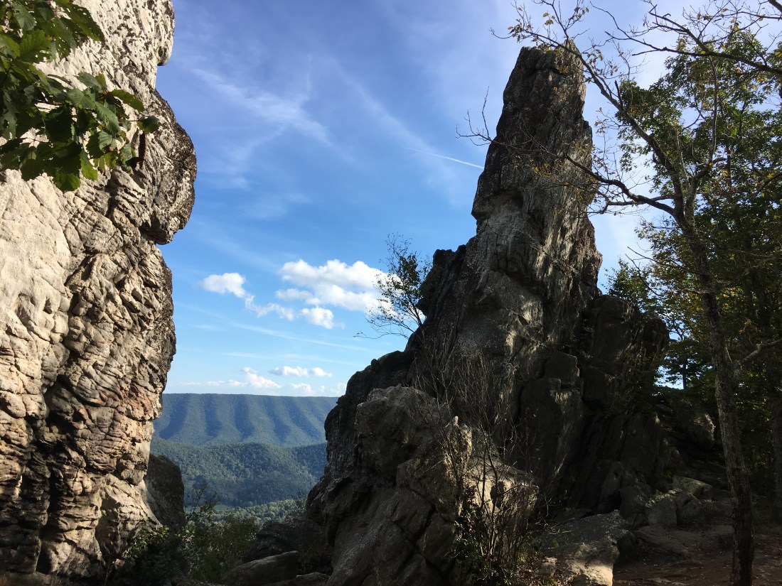
The last attraction was a rock formation named Dragon’s Tooth. Reaching the ledge was a strenuous hike with a bit of scrambling at the end. Once there, I was content to view Dragon’s Tooth from below.
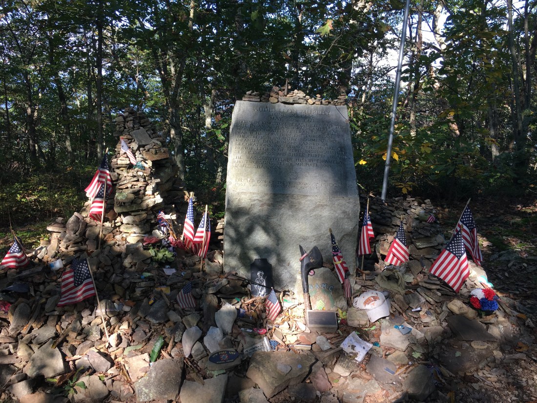
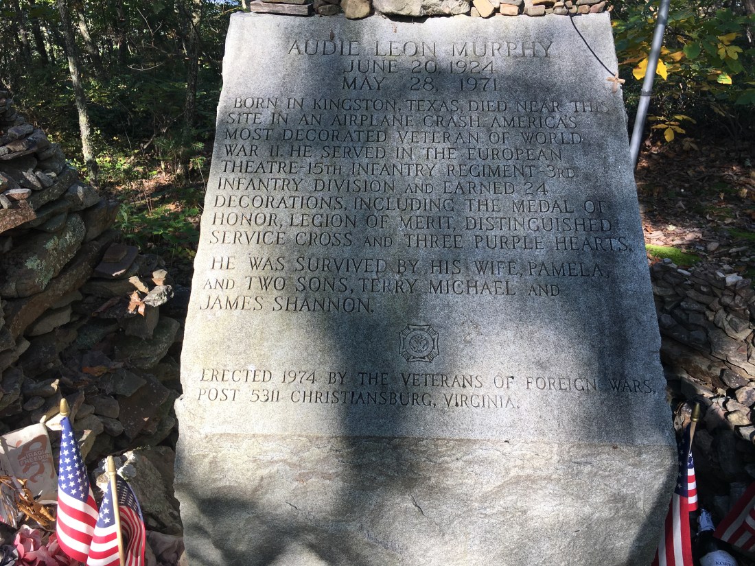
The rest of the week was less scenic as I was back primarily back to walking through the woods and across viewless ridges. Friday brought me to a memorial to Audie Murphy, the most decorated U.S. soldier in World War II. The location of the memorial is about 50 yards from the trail near the site where he died in a plane crash in 1971. The local VFW post does a very nice job maintaining the memorial.
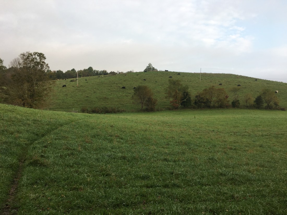
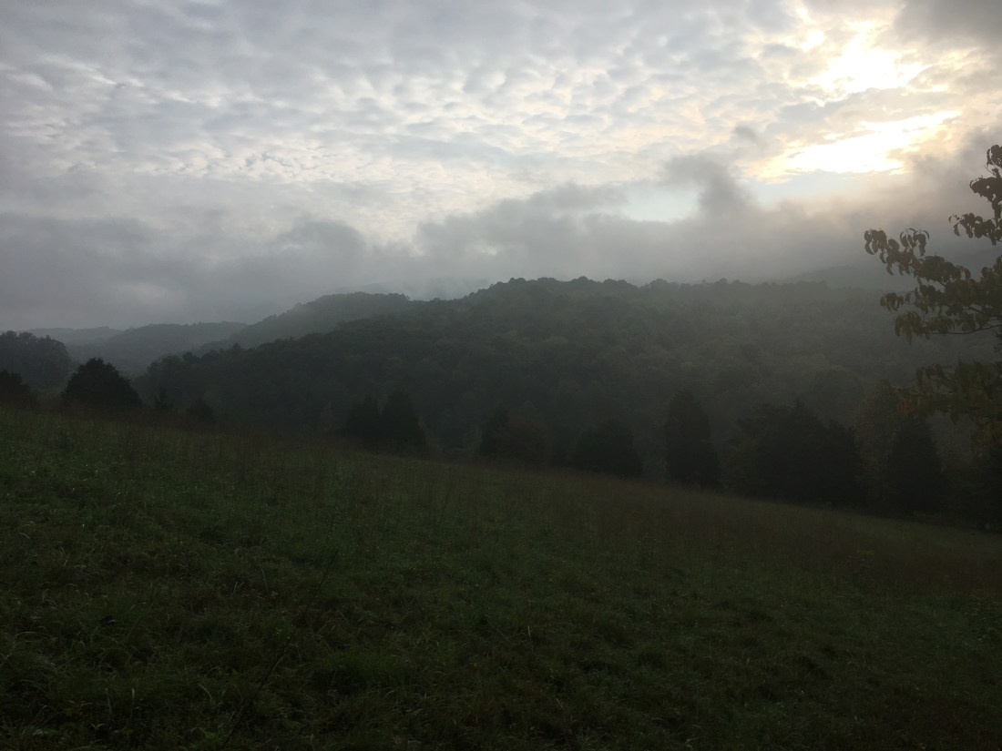
Saturday morning was another foggy day. Crossing two meadows provided different scenery from the mountaintop views earlier in the week.
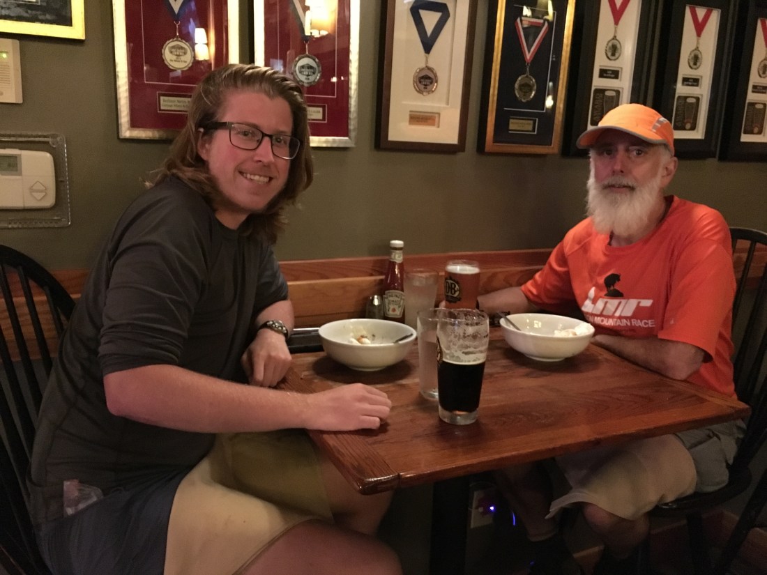
Sunday was just a long, viewless 23-mile hike into Pearisburg. Normally, I might have stopped sooner, but I wanted to make it into town to treat myself to a hot shower, clean clothes, and dinner for my birthday. As it turned out, I only had to treat myself to the first two. I went to dinner at a Mexican restaurant with two other hikers, a southbound hiker named “Hansel” and a section hiker named Paul, who insisted on paying for my dinner and margaritas.
I am back on the trail, dealing with more rain and waiting for some cold nights to take care of the mosquitoes that seem to have recently come back to life. Perhaps some cold nights will also cause the remaining leaves to finally turn color. Several people in the area have told me the temperatures in the 80s last week were unusual for this time of year. They also are concerned that between the leaves taken down by Florence and the warm weather, the fall colors will be unspectacular this year. With more rain from hurricane Michael approaching, we will just have to wait to see what happens.

So much rain! Glad you are meeting nice people. The mileage in a day is astounding to me! Good luck with next leg.
LikeLike
Thank you! Flash flood warning today and more rain next week from Michael. It seems it my never stop! Hopefully it will clear before Mt. Rogers and the Grayson Highlands.
LikeLike
Your photos are extraordinary, and your steady progress has been amazing. Glad to hear about the nice folks you’ve met along the way. We continue to cheer you on here at the office! 🙂
LikeLike
Thank you! Looking forward to dropping in when I return — probably the week of 11/26.
LikeLike
Hoping you are safe from the effects of Michael. We are thinking if you and wishing you safe passage from the storms.
LikeLike
Thank you! I heard we received between 3” and 6” of rain, followed by high winds overnight. Several branches hit the roof of the shelter that night. All is well!
LikeLike
Love it. Awesome pics too
LikeLike