“Tennessee, Tennessee, there ain’t no place I’d rather be.” — Robert Hunter (Grateful Dead lyricist)
After a rest day in Damascus, I was ready to finish off the last 4 miles of Virginia on Saturday, October 20. The day started off with rain that was forecast to end mid-day, so I decided to wait it out and make up a few miles later in the week. I set out around noon with a light rain still falling, which ended within the hour.
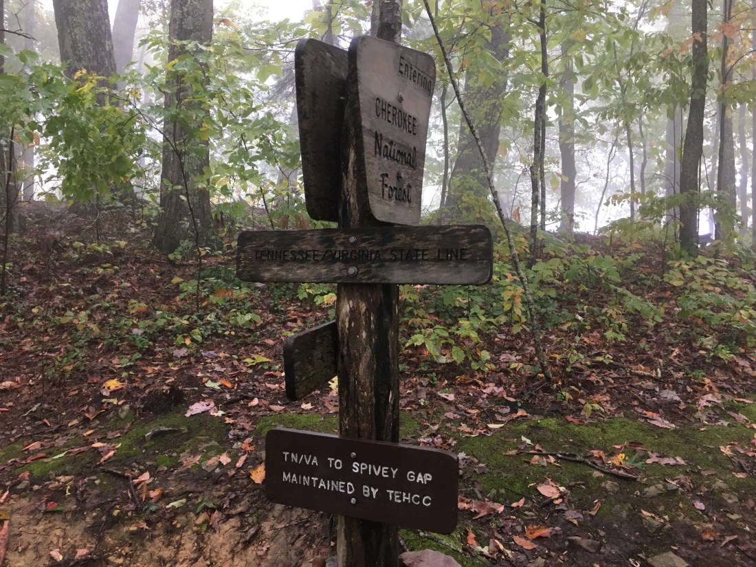
Less than two hours in, I reached the Virginia-Tennessee border. Although I had been in Virginia for 5-1/2 weeks, somehow it did not seem that long. I never had the so-called Virginia blues that some hikers report, although I did tire of the rain that included the effects of Hurricanes Florence and Michael.
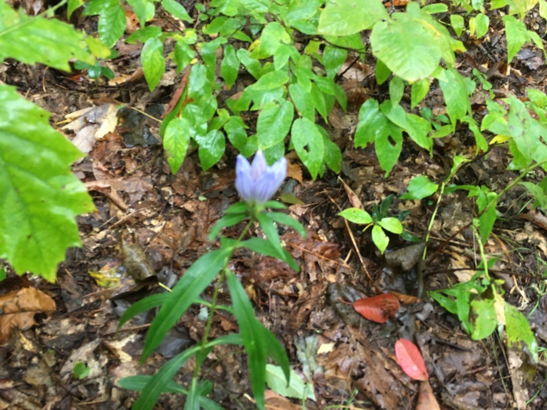
After weeks of seeing purple flowers that seemed more than ready to bloom, I still had not seen one open and decided to take a picture anyway. They remind me of toad lilies that we have at home, which bloom late in the fall and like shade, but I may never know if I do not see one open.
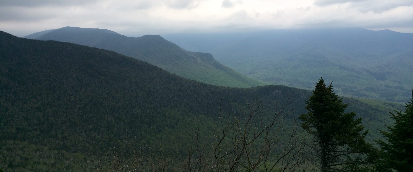
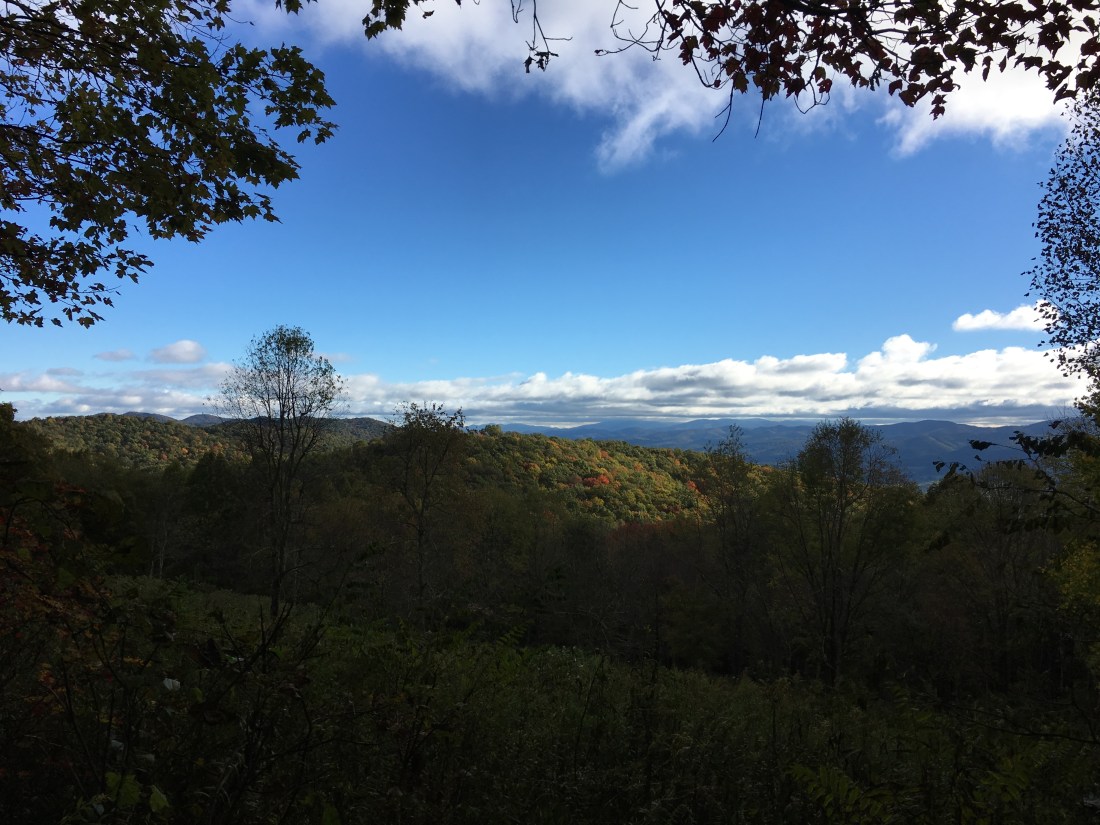
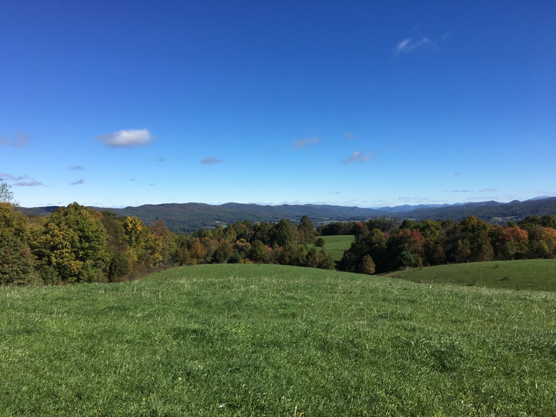
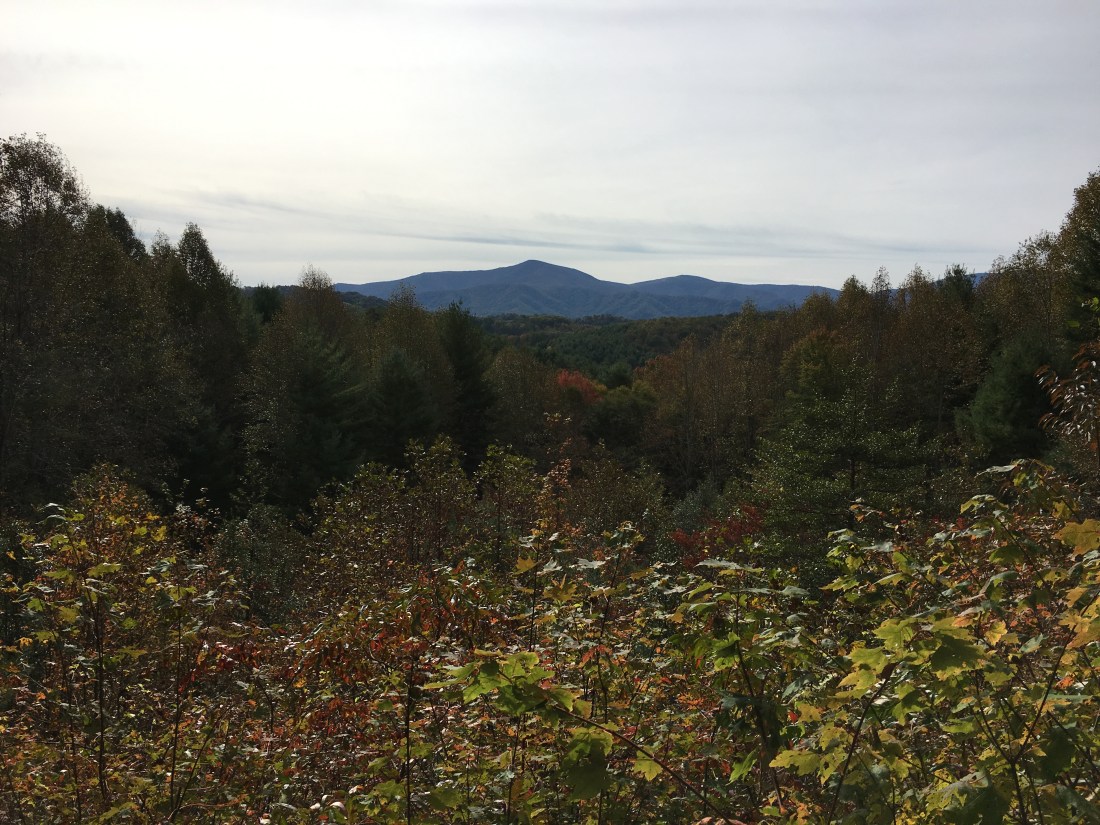
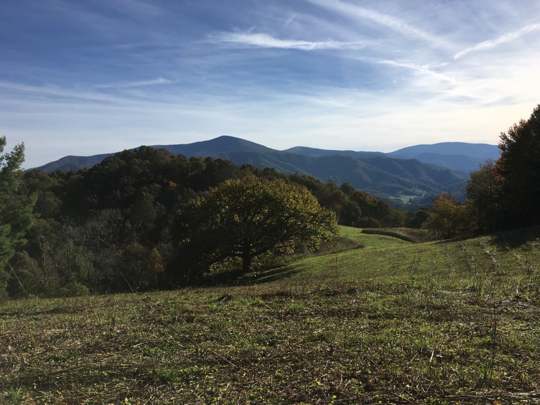
Saturday night was rather cold as the temperature dropped below freezing. The next morning was windy and even though the sun came out, the temperature peaked at 43 degrees. As a result, when I arrived at the shelter that night, I still was wearing everything I had worn to bed to keep warm the night before. A few views during the day indicated that, at least in this area, there was still hope of seeing the fall foliage change of color. The day ended at 3,510 feet above sea level, making for another cold night.
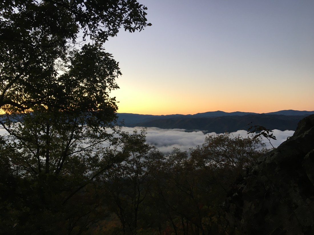
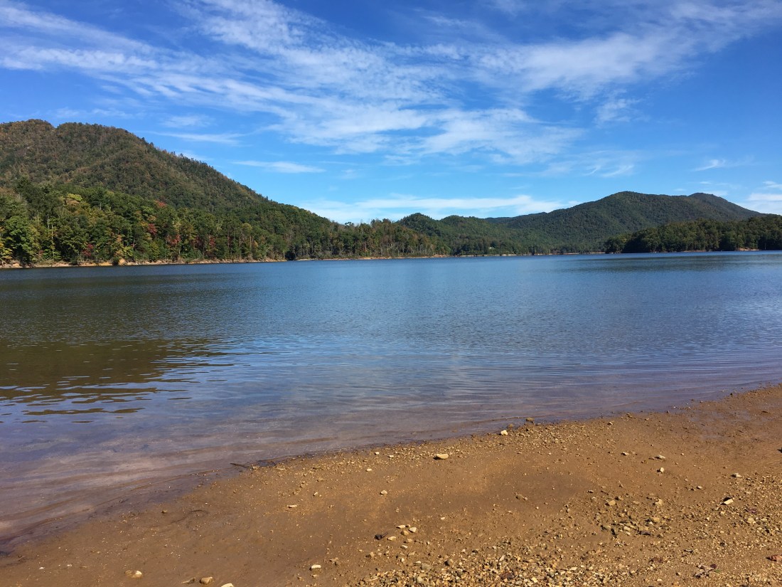
Monday morning was not as bad, despite the cold night. Looking down to Watauga Lake, the lower elevations were shrouded in fog.
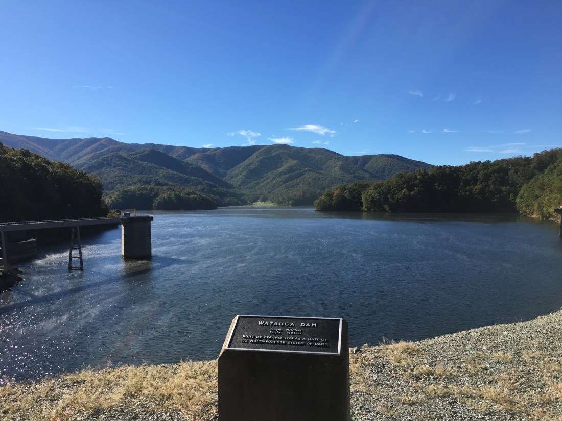
I quickly hiked through the Watauga Lake area, which is closed due to bear activity, but open to hiking along the four miles of the Appalachian Trail with instruction not to stop. Being alone, I sang songs through the area so the bears would know I was there. In addition to letting them know I was there, I assumed my a cappella renditions of various Grateful Dead songs would send the bears running for cover. For the record, I did not see any bears on this day, although I will never know for sure the reason why. I did keep my phone handy and snapped a few pictures of the dam and reservoir as I walked. Watauga Lake is a reservoir behind a Tennessee Valley Authority (TVA) dam. In the reservoir are two inlet towers that drain water into penstocks to run two hydroelectric generators.
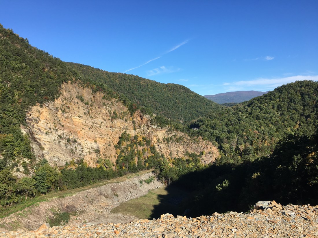
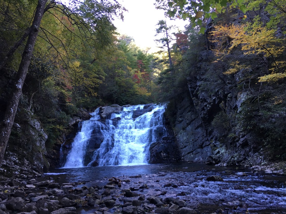
After circling the western end of the lake and crossing Pond Mountain, the day ended with passing the Laurel Fork Falls and hiking through the Laurel Fork Gorge.
I woke early on Tuesday and was hiking by headlamp by 5:30. While I had not planned any more 25 mile days, I heard the trail was smooth in this section with easy grades. This was one trail report that proved to be valid and I was able to cover the distance in 12 hours.
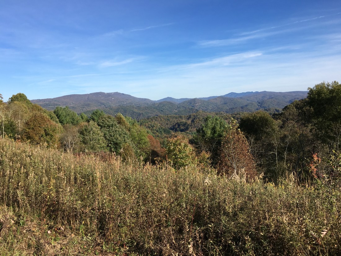
Along the way I had some nice views. The first was at a bench in a nice sunny spot, which I arrived at approximately 5 minutes after I had stopped for a lunch break.
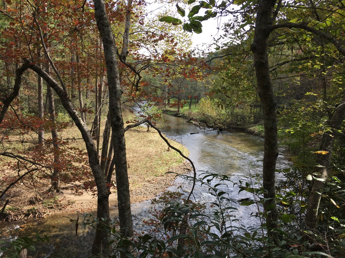
The trail ran alongside the Elk River for a while, providing a nice backdrop in Sugar Hollow.
The best scenery of the day was off the trail at Jones Falls. I was hesitant to add mileage to the day and was going to proceed past the trail junction, but someone had added a note on the sign post that the view was worth the trip. After confirming it was only one-tenth of a mile, I decided to make the excursion. As the note promised, I was not disappointed.

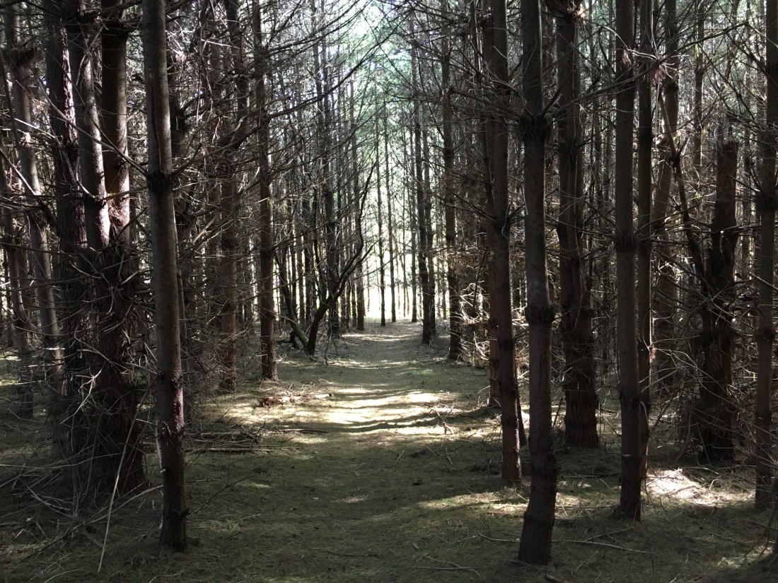
The day ended with a walk through a pine grove carpeted with needles, and a walk across an open meadow with views of peaks that I expect to reach shortly.
As luck would have it, in my hurry to arrive at my destination, I out-hiked the UPS delivery truck and I am now taking an unplanned day off waiting for my next resupply. I would forego the food and purchase what I need in town, but the box includes a new pair of shoes. I am overdue for a new pair as my present pair now has almost 600 miles on them.
I have reached the portion of the trail that straddles the Tennessee-North Carolina border and will cross into North Carolina tomorrow. The trail will cross back and forth for the next week as I work my way toward the Great Smoky Mountain National Park. I plan to post again next week when I reach Hot Springs, NC.

glad yer still enjoyin the adventure!! hope u gave great weather forvthe SMOKIES !!
Gary
LikeLike