I spent Friday night, November 2, at the Standing Bear Hostel. The caretaker, Jack, was starting a fire in the wood stove in the bunkhouse as I arrived. Having been in the rain all day, I picked a bunk near the stove so I could dry out my clothes and shoes. This was a choice that brought mixed feelings in the long run as everything dried quickly, but it was much too warm for a comfortable night of sleep.
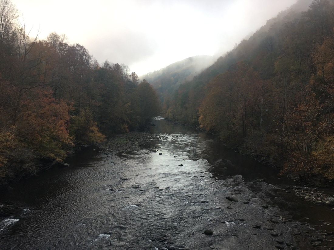
I departed Saturday morning at first light and headed down the trail toward the park, crossing the Pigeon River along the way.
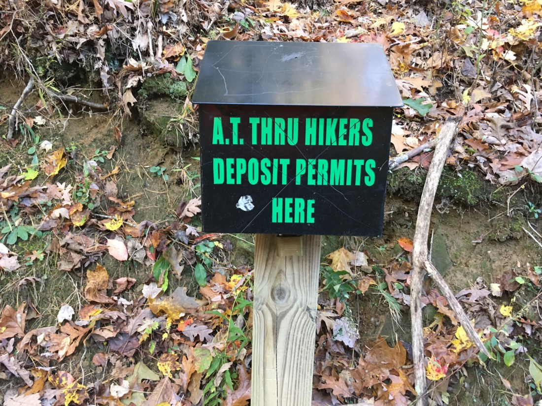
Entry to the park was without fanfare. There was a small sign indicating the park boundary at Davenport Gap and a metal box into which I was required to deposit the lower half of my backpacking permit.
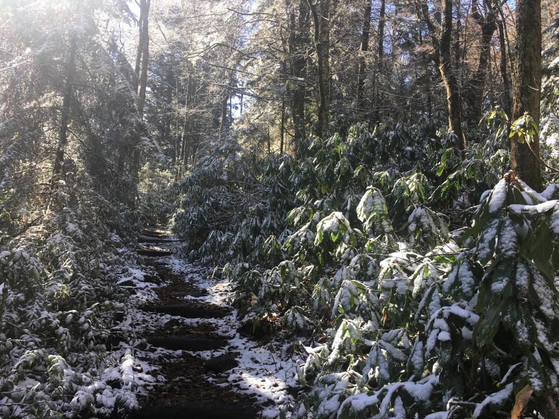
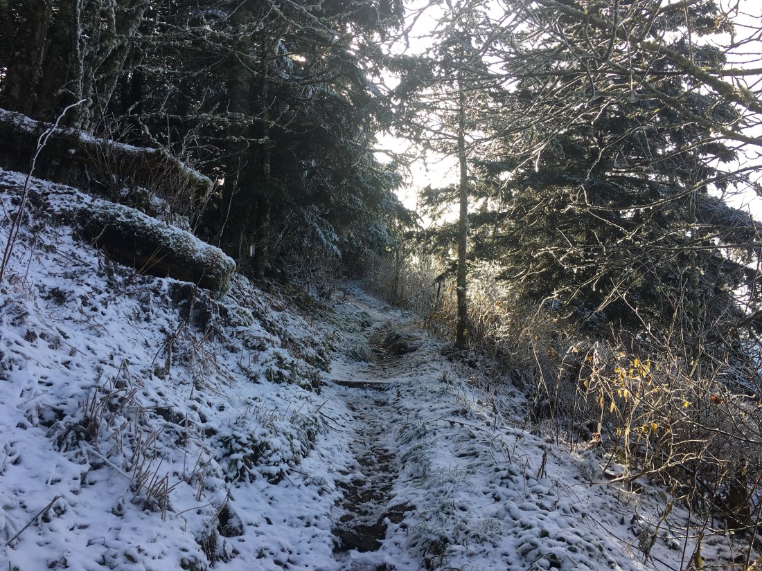
The trail immediately started uphill toward Mt. Cammerer. By the time I had ascended to 4,000 feet, it was clear the rain that fell Saturday night at the lower elevations had been snow in the Smokies. I was prepared to put on my micro-spikes over my shoes; however, the snow had melted off the trail and I did not need the extra traction. When I reached the junction with the trail to the Mt. Cammerer summit, I decided to forego the 1.2 mile round trip detour and continue on the Appalachian Trail.
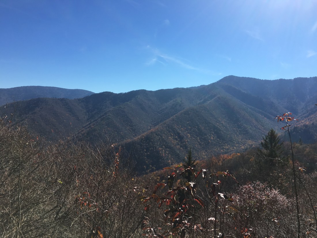
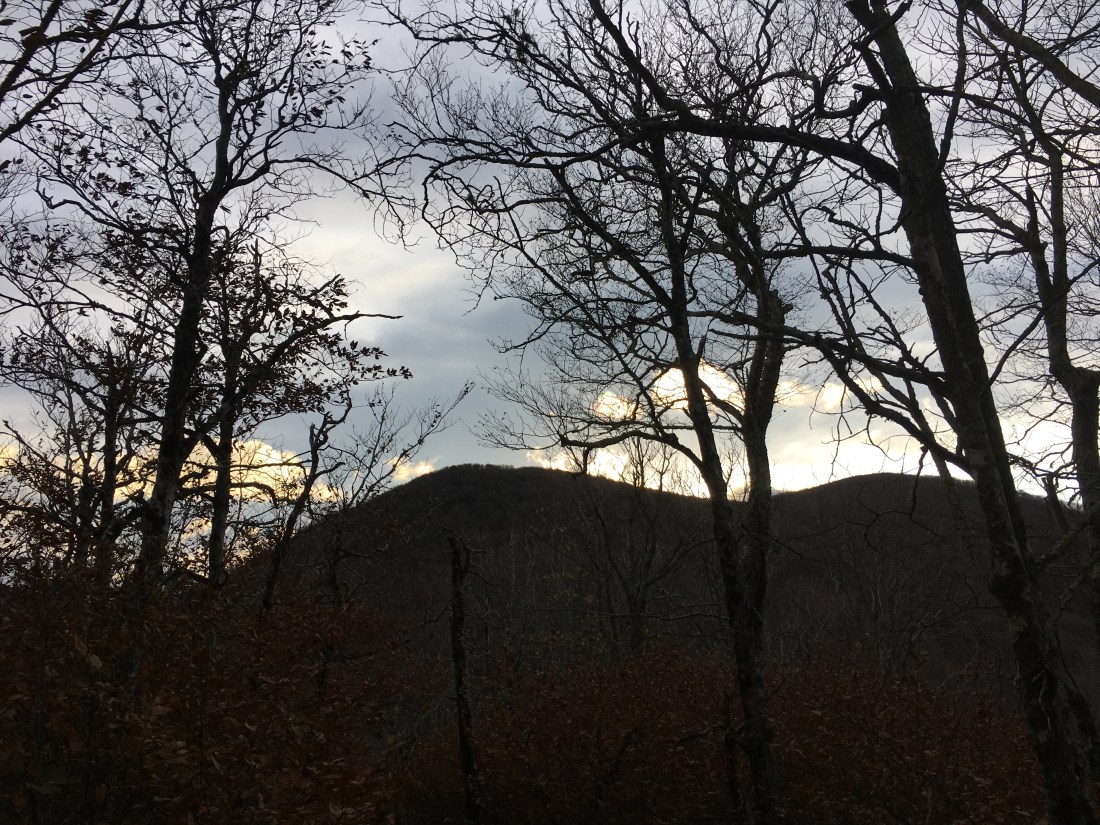
The views along the trail were partially obscured by trees, but I stopped a few times to observe that last of the fall color below. As I proceeded along the trail, I had some unobscured views near Camel Gap and Deer Creek Gap.

I climbed higher in elevation, eventually reaching 5,900 feet at the Tri-Corner Knob shelter. The snow cover became a bit thicker, but the trail was still passable without putting on my micro-spikes. For the last two miles, I might as well have been walking in the rain. As the late afternoon sun melted the snow on the tree branches above, the water dropped down on me and the runoff from the “rain” ran down the trail.
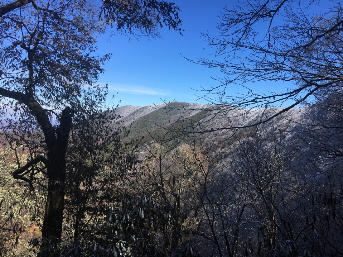
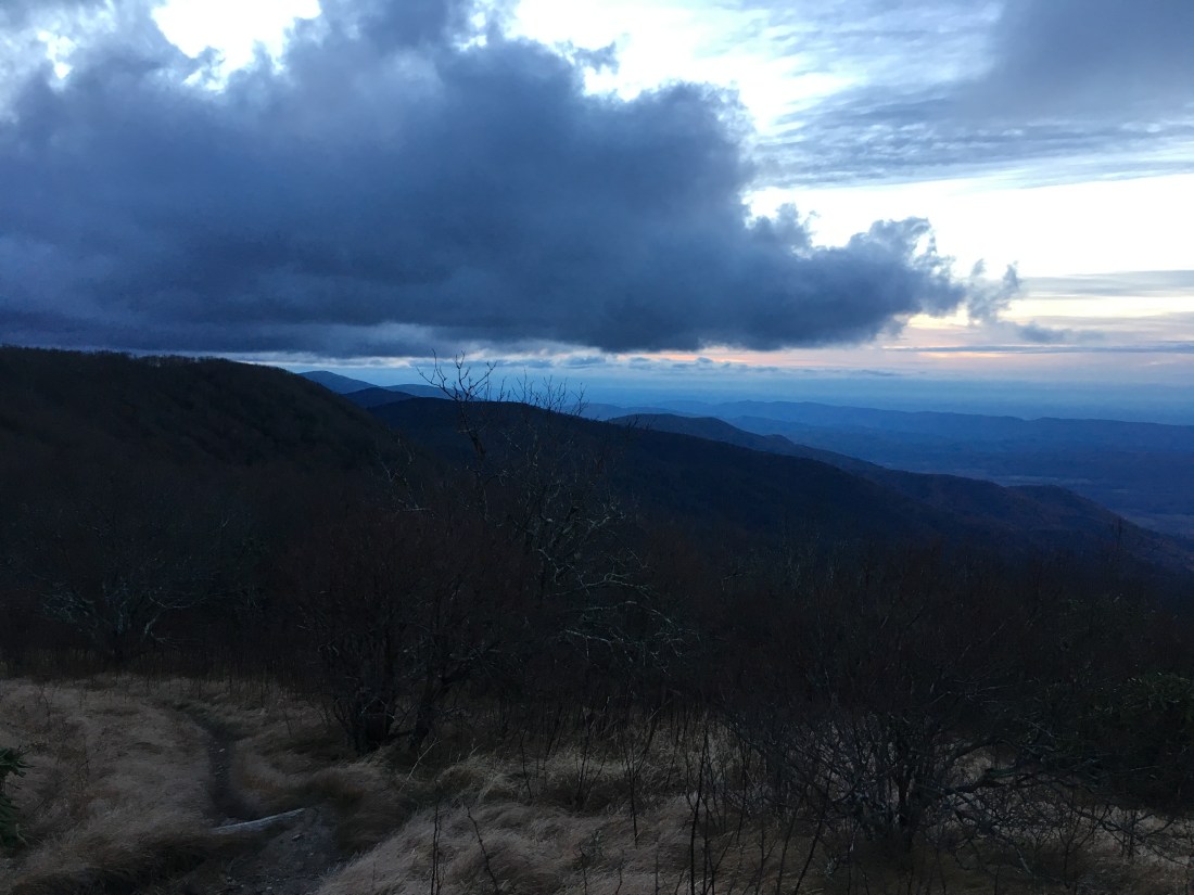
Sunday morning was cold and windy, and the hike continued along a wooded ridge. Views of distant mountains and valleys below were limited by the trees along the ridge. The snow lingered on at the higher elevations. I had one good view from the ridge near a rock formation known as Charlie’s Bunion.
As I approached Newfound Gap, I met quite a few day hikers. U.S. Route 441 is the only road that crosses the Appalachian Trail within the park, and brings tourists from Gatlinburg, TN and other locations.
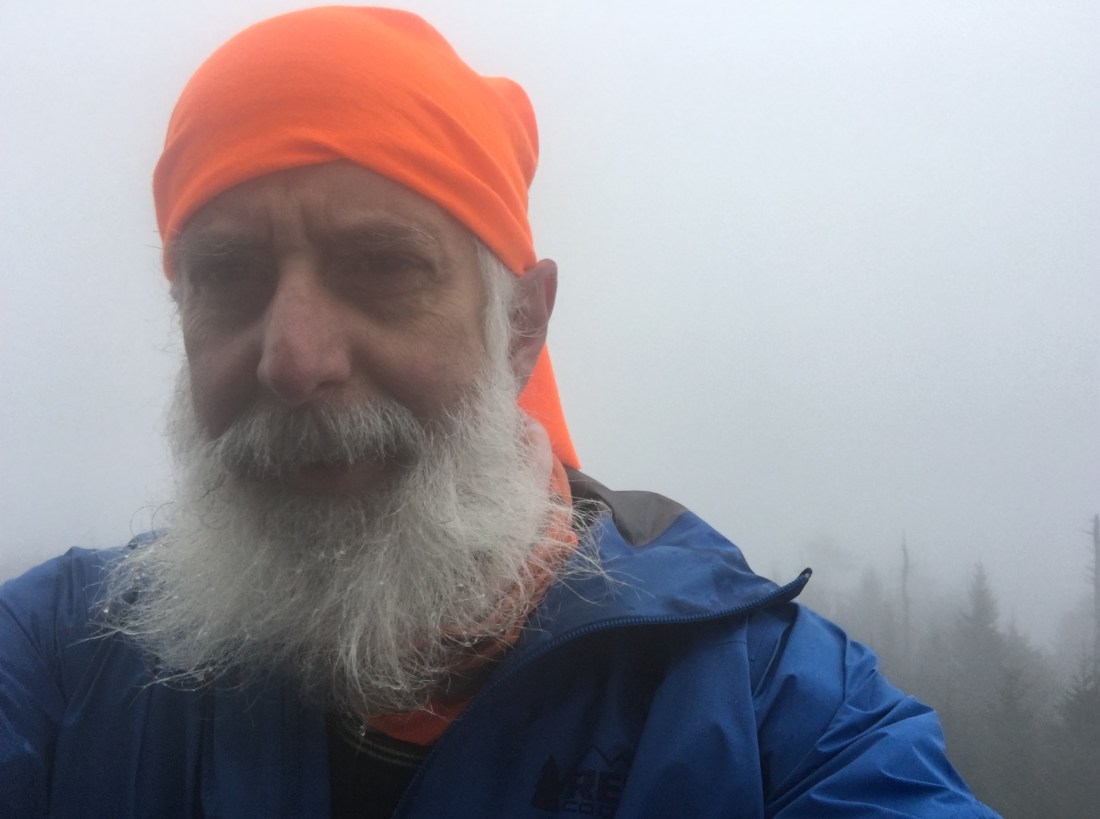
Monday began overcast and damp. As I climbed to the summit of Clingmans Dome, the highest point on the Appalachian Trail at 6,643 feet, I entered a cloud of light rain. Even though I could tell there was no visibility from the summit, I walked up the ramp to the observation deck anyway just to be sure.
The hike continued up and down over Mt. Buckley and Silers Bald with views obscured by the low clouds. The climbs and descents were a bit steeper than I encountered the previous few months and for the first time on the trip, I found myself running out of daylight as I approached Thunderhead Mountain.
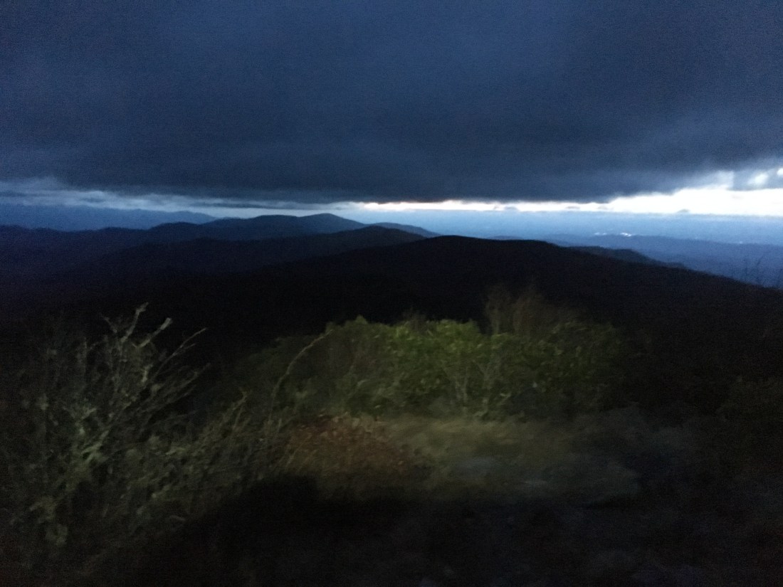
After passing the tree-covered summit, I crossed over Rocky Top and finally had some views. The sun had already set, but there was still enough light for some interesting views with clouds moving in for an overnight rain. I finished the last half-hour or so of the hike by headlamp.
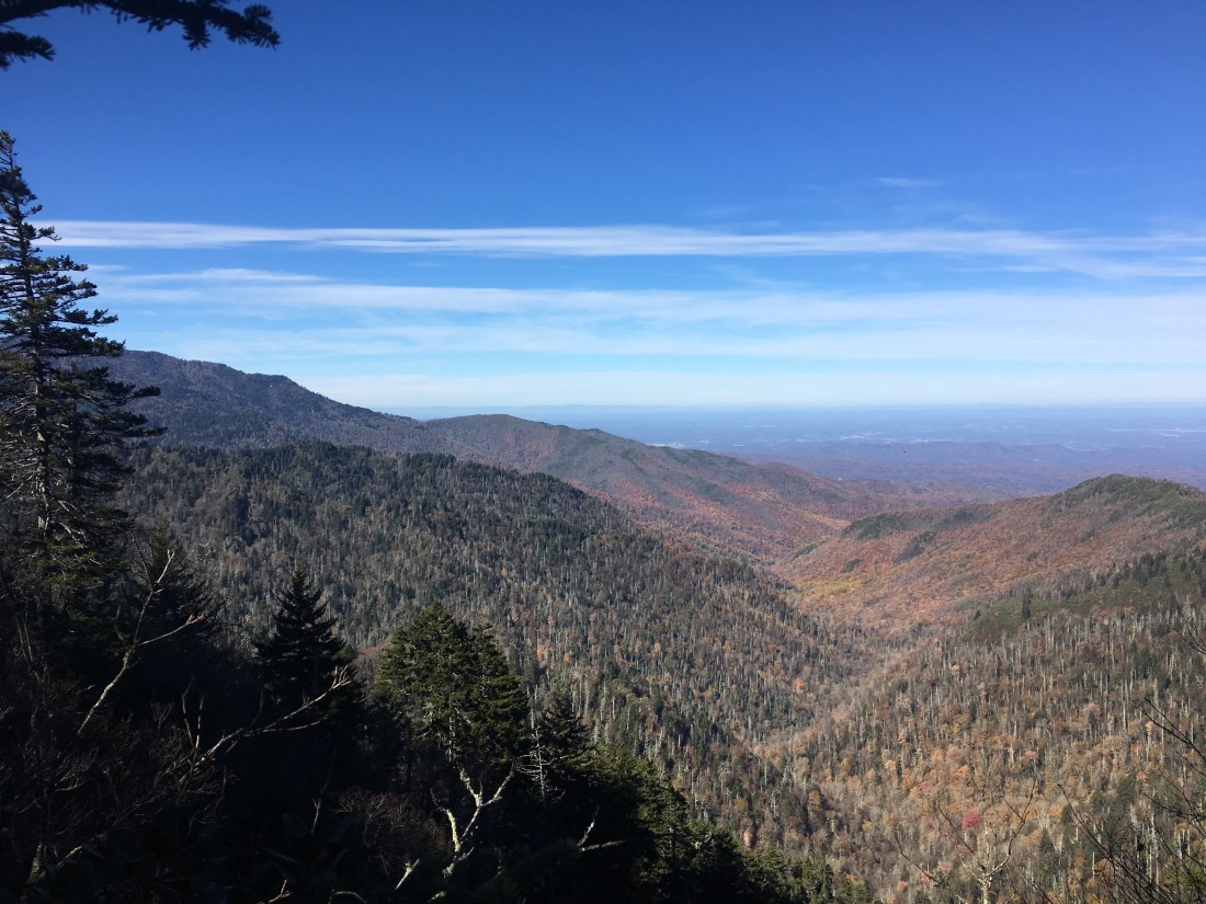
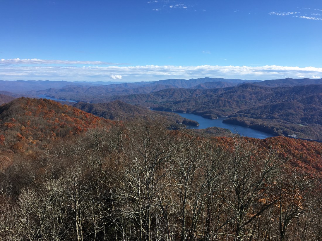
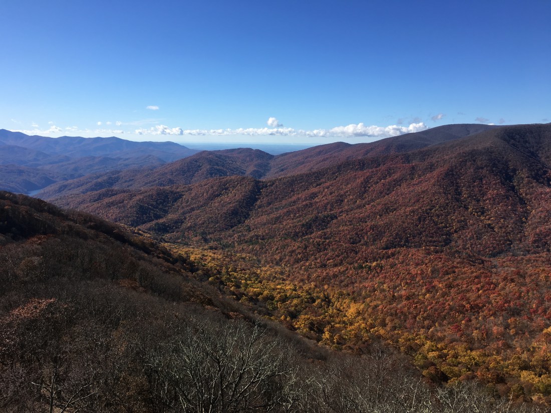
Tuesday started with drizzle as the rain from Monday night tapered off. The sun was out by noon and the hike was mostly downhill. Two short climbs on the way brought me above 4,500 feet at Devil’s Tater Patch and Doe Knob, but the summits were wooded and offered no views. Almost out of the park, I reached the Shuckstack fire tower at 3,800 feet and was finally treated to some beautiful views.

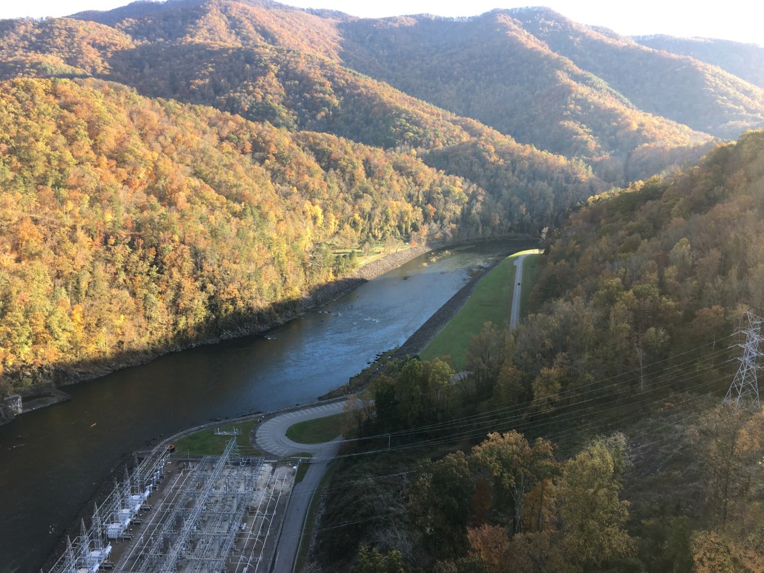
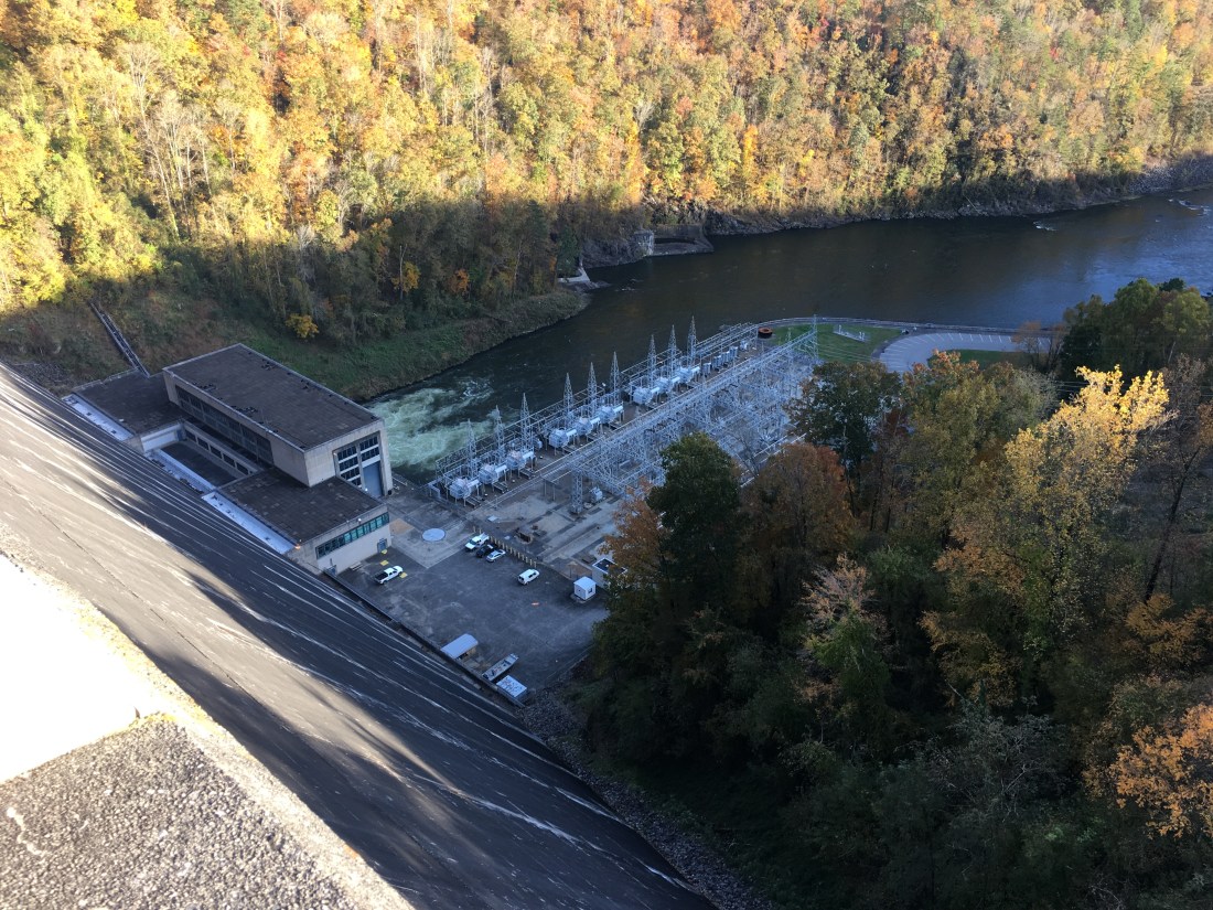
Just beyond the park boundary is Fontana Dam. The dam was built by the Tennessee Valley Authority (TVA) in the early 1940’s to provide electric power to ALCOA to facilitate aluminum production to support the U.S. war effort. The project generates 240 MW of electricity and also provides flood control of the Little Tennessee River. Sadly, the name of the dam is taken from one of four towns that were flooded when the dam’s gates were closed to create the upper reservoir. The water level in the reservoir appeared to be low, despite all the rain this summer!

After hiking across the dam and down to the marina, I was able to call for a ride to the Fontana Lodge. Instead of staying at the Fontana Shelter, I treated myself to a night at the lodge where I enjoyed a hot shower, meal, and sleeping on an actual bed before heading back out the next morning to continue my journey.

Engineers are always interested in their stuff :D.
Have you completed your journey by now? Looking forward to meeting you soon.
LikeLike
Yes, finished on Friday. Just landed at Logan. I will try to stop by the office next week. If not, I hope to see you at the holiday party.
LikeLike
Congratulations!
I suspect your house is going to feel claustrophobic.
LikeLike