Having crossed between Tennessee and North Carolina for the final time somewhere during my last day in the Smokies, I set out on Wednesday, November 7, with just two states remaining in my trip.
My night at Fontana Village was comfortable enough that I almost wished it was raining so that I could spend another night. Knowing that the sun would be out for most of that day, however, I set out after enjoying the pleasure of a hot breakfast of eggs, toast, home fries, sausage, and pancakes.
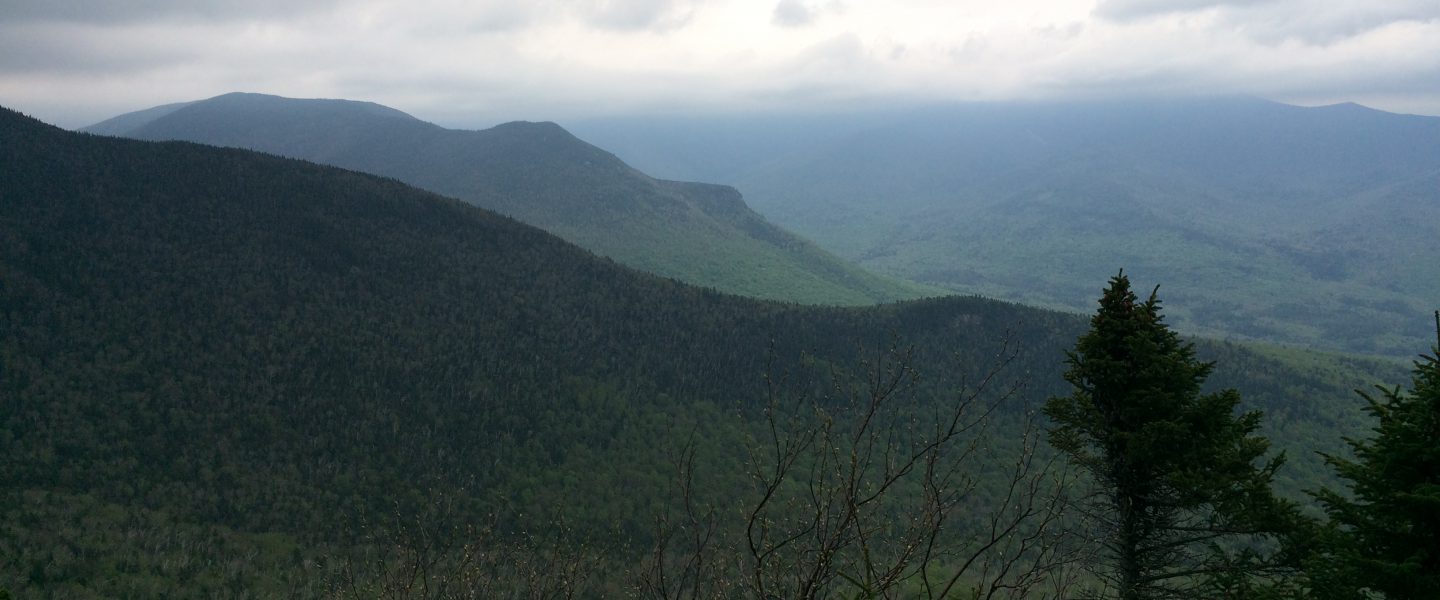
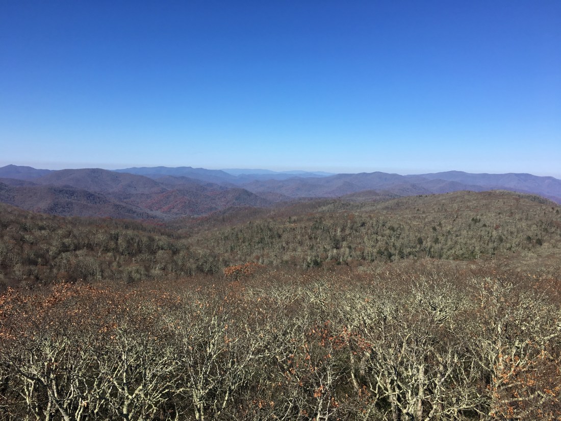
The trail climbed steeply and for most of the day I could see Fontana Lake below through the trees. Late in the afternoon, the trail reached on open stretch on the ridge between Hogback Gap and Brown Fork Gap.

The forecast for Thursday was a 40 to 50 percent chance of rain for each hour of the day. Fortunately, I only encountered a few brief periods of light rain. The morning was still only overcast as I reached Stecoah Gap at 3,165 feet, a climb of about 1,500 feet from Fontana Lake.
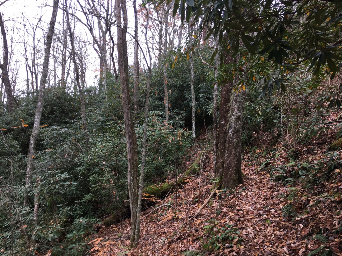
One feature of the trail that I have forgotten to mention previously is the large number of rhododendrons that surround the southern half of the trail. They were most prevalent in Pennsylvania and Virginia, but I still encountered them through Tennessee and North Carolina. In many sections the trail is essentially a tunnel through a rhododendron grove.
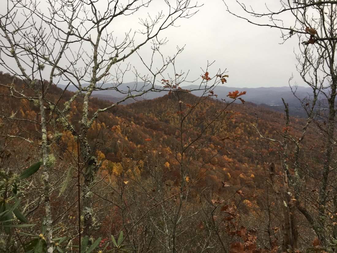
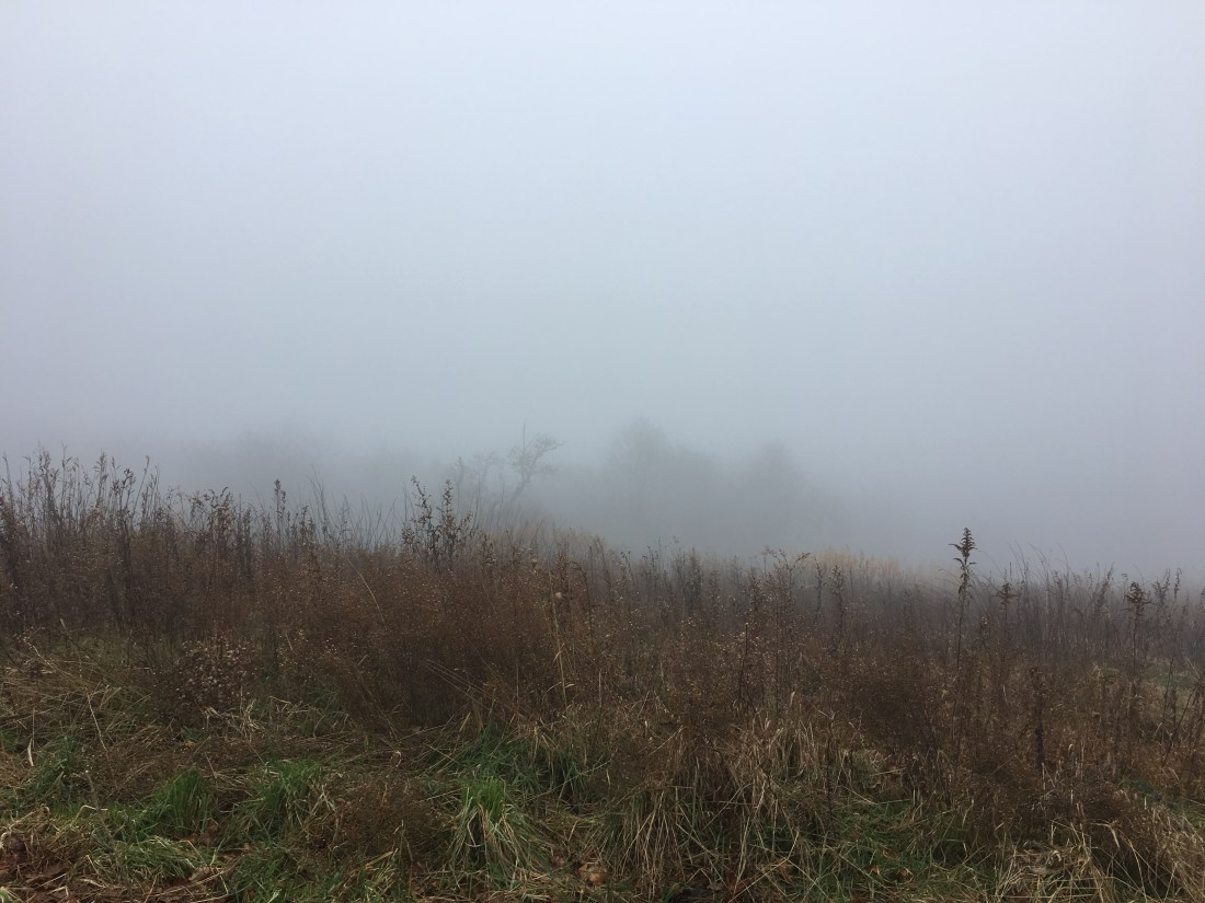
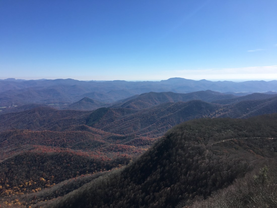
From Stecoah Gap, the trail climbed over the next five miles to 5,062 feet at the top of Cheoah Bald. The summit was shrouded in mist, an occurrence that had become all to common.
On Friday morning, the rain had already started before I hit the trail. The rain was light and intermittent for the first few miles and I prayed that it would stop for good. This prayer was not to be answered, however, and soon I was hiking through heavy rain with sleet mixed in. After three hours, I stopped at the Wesser Bald Shelter, changed into dry clothes, and crawled into my sleeping bag to warm up. Eventually the rain stopped and checking my phone, I could see there was two-hour window before it would start again. After I was sufficiently warm, I had a quick lunch, packed up, put my wet clothes back on, and headed out. As much as I did not want to wear my wet clothes, I knew I would need dry clothes at camp and could not risk having all my clothes wet. Light rain had started again by 2 p.m. that continued through the evening. Once moving, I was able to stay warm the rest of the day and I pushed on to complete my planned 16 miles just as it became dark.
This was not my day as I arrived to a shelter full of weekend hikers. They offered the option of sleeping under the overhang in front of the shelter, which sounded tempting, but I could tell they planned on sleeping with their food hanging in the shelter despite the notices I had seen throughout the day warning of bear activity in the area. After dinner, I found a suitable tree to hang my food and went back into the rain and cold to set up my tent. Level ground was nowhere to be found and so I picked the best spot I could find. Once inside, I put on my dry clothes and spent a rather uncomfortable night as the temperature dropped to 20 degrees.
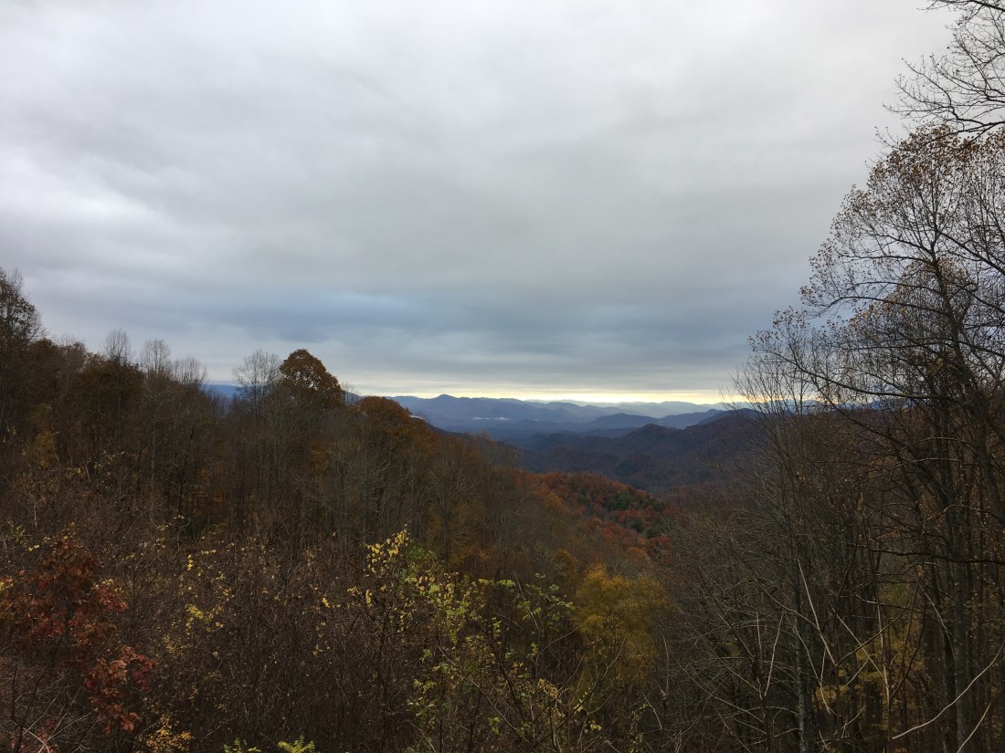
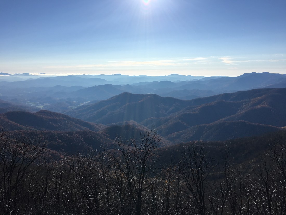
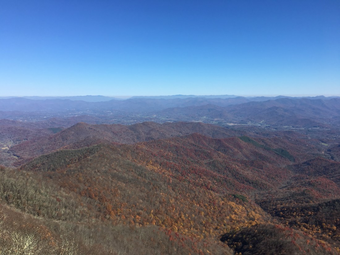
I woke on Saturday morning to a frozen tent zipper, frozen rope on my food bag, and frozen shoes. The first two issues I dealt with easily enough, but by the time I had breakfast and packed up my gear, I was too cold to address the shoe issue. I proceeded to hike with two pair of socks and my Crocs, which I carry to wear in camp. After about an hour of hiking uphill to the top of Wayah Bald, I was warm enough to give the shoes a try. With a bit of patience and improvising, I was able to get the shoes on by using my trowel as a shoehorn. They were still frozen solid, but another half hour of hiking thawed them out and rewarmed my feet. While at the summit of Wayah Bald, I was also able to enjoy some nice views in the morning sunshine.
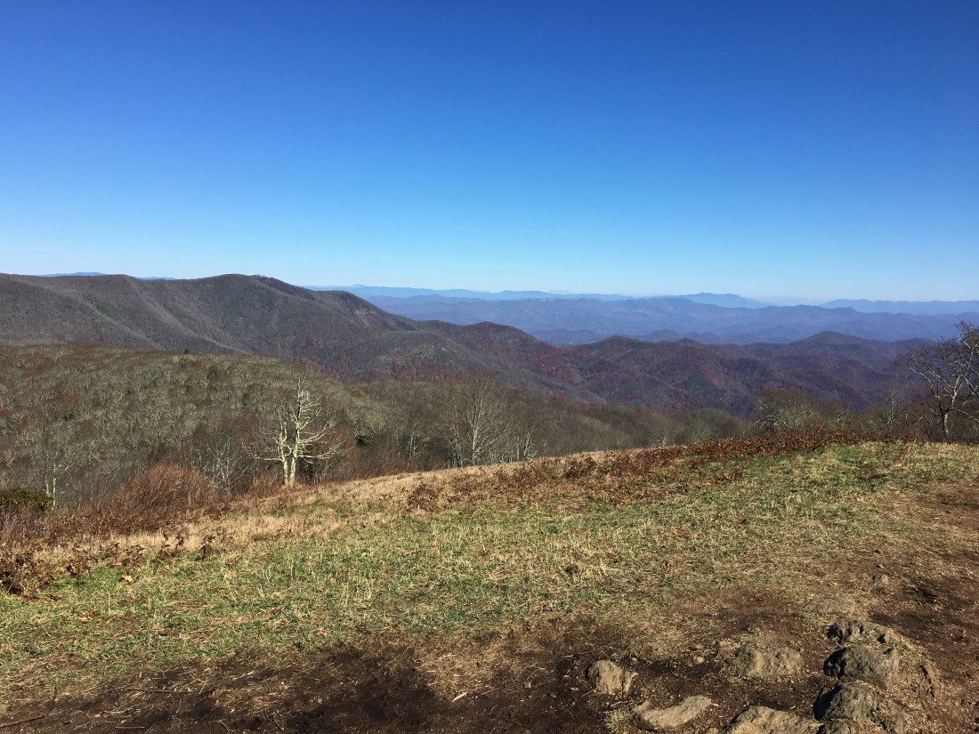
After descending into Wayah Gap, the trail climbed again to Siler Bald. I hiked the 0.2 mile out-and-back side trail to the top of Siler Bald where I enjoyed the views and my lunch.
I cut my hike short by 3.5 miles at Rock Gap so I could head into Franklin, NC to dry out my gear at the Gooder Grove Hostel. The owner, “Zen,” was very helpful and advised me that the next section of trail would be relatively easy, allowing me to make up the miles on Sunday.
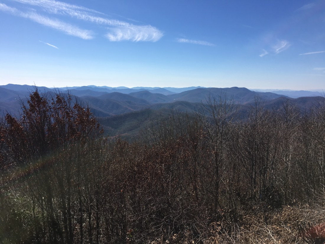
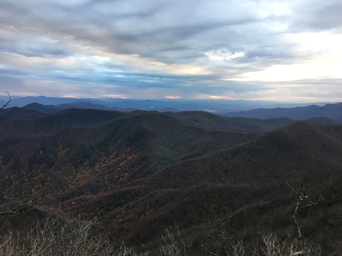
Given the forecast for more rain in the upcoming days, I took my time to enjoy the sunshine and wonderful views. As predicted by Zen, I was still able to cover the 20 miles from Rock Gap to Standing Indian Shelter in 8-1/2 hours. The day included hiking over two peaks above 5,000 feet: Albert Mountain at 5,250 feet and Standing Indian Mountain at 5,498 feet.
As forecast, I woke to rain on Monday. The rain continued all day, heavy at times, and mixed with sleet at others. I stopped briefly at the North Carolina-Georgia border to take a picture to mark my progress as I entered the last state heading south on the Appalachian Trail.

The trail continued up and down a series of viewless peaks until I reached Dicks Creek Gap, where I spent the night at the Top of Georgia Hiking Center. After being in the cold rain all day, I felt fine other than having lost dexterity in my fingers. It took me about 20 minutes and a hot cup of tea to complete the registration form, which simply asked for my name, trail name, phone number, and email address.
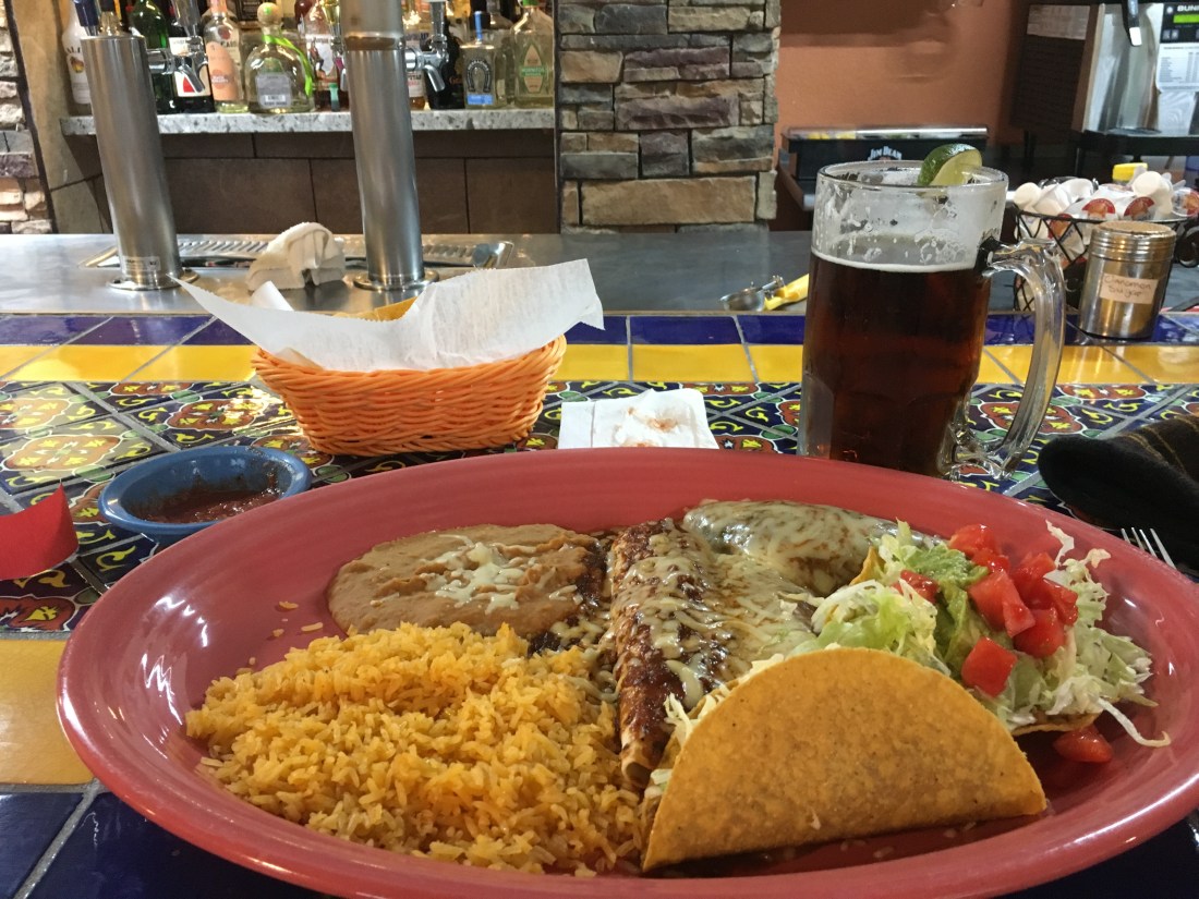
After a hot shower, I caught the shuttle into Hiawassee, GA. The shuttle driver recommended the local Mexican restaurant, which suited me fine. The Hombre Grande meal hit the spot, consisting of a taco, chalupa, enchilada, burrito, chile relleno, rice, and beans.
With just four days remaining to Springer Mountain, the forecast called for rain the next three days. Normally this would have depressed me, but I to went to bed looking forward to heading out the next day to finish my journey.

Those views are gorgeous! I wish you luck with the future weather forecast to be kind on you!
LikeLike