After completing 136 miles the previous week, the most in one week on this trip, I decided to take Monday off and stay a second night at the Angels Rest Hikers Haven. Good fortune was with me on this day as my inquiry to Pearis Mountain Massage resulted in an appointment despite the short notice. I don’t know where most of the time went on this day, but I enjoyed the day off the trail as my body recovered.
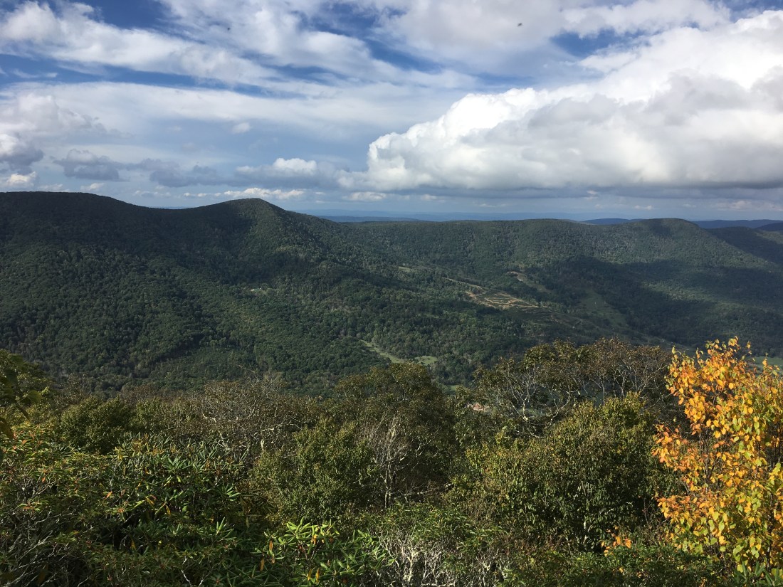
Tuesday morning (October 9) I was back on the trail. As I ascended from the trailhead, I quickly found myself in a dense fog. Although it was not raining, I decided it would be best to put the rain cover on my backpack as the wind was blowing down condensation from the trees above at a rate that was both impressive and discouraging. By lunchtime, I had hiked out of the cloud. However, by this time the hike was primarily in the forest with no views. Late in the day, I reached a viewpoint on Sugar Run Mountain and decided to stop for an afternoon snack.
Rain started on Wednesday morning by 8:30 and continued all day and into Thursday. I had about 4 miles hiked before the rain started and hiked another 10.5 miles in the rain. By 1:00 the rain had become rather heavy and I decided to stop for the day and spend the afternoon at the Jenny Knob shelter. I believe this rain and subsequent wind were components of Hurricane Michael. I later heard we received about 3 inches of rain each day. By Thursday evening the rain had stopped and high winds moved in. I decided to take advantage of the wind and after hanging my food, I used the excess rope as a clothesline. To prevent my clothes from blowing away overnight, I threaded the rope through my clothes before tying it to the tree. I was glad to be in the shelter that night as the strong wind blew down a lot of dead wood. Three branches hit the shelter and the trail was littered with branches on Friday.

The hike on Friday covered 24 miles — a bit more than I would have liked, but the miles went quickly and I was able to stop for lunch at the Brushy Mountain Outpost after crossing U.S. Route 52. I had the daily special of a cheeseburger and fries. While I was eating my lunch, I received some anonymous trail magic as the owner told me that earlier in the day someone had paid for the next thruhiker to stop in for lunch.
Saturday started with drizzle and fog, and with cold winds once I got up to the mountain ridge. After battling through a miserable morning, the sun came out and I was finally warm. I had some nice views from Chestnut Knob, the high point for the day at 4,409 feet. On the way down I met a couple of beagles who apparently were out on a training excursion. Their collars included a radio that appeared to be both a receiver and transmitter. I hadn’t realized the world of high-tech now included remotely tracking and sending commands to the hunting dogs. I am not certain how far the dogs were supposed to go, but they turned around and followed me back down the mountain and it was nice to have their company for a couple of miles.

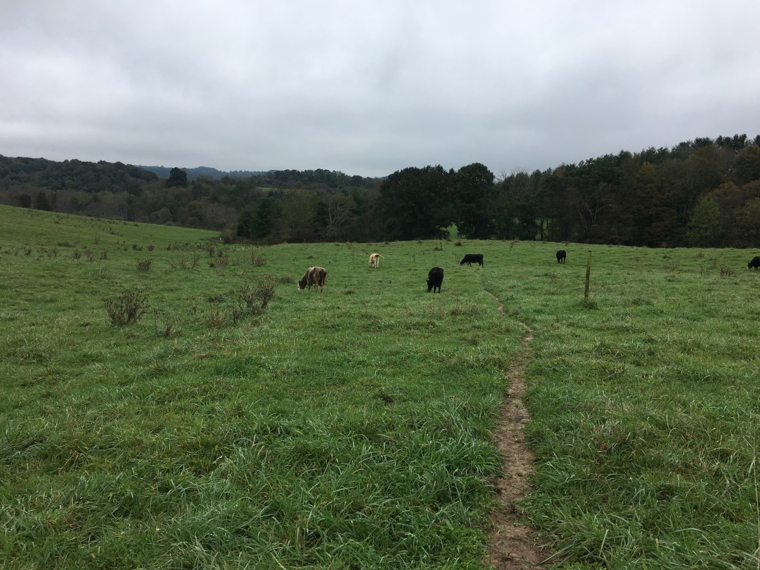
Sunday also started with drizzle and fog and brought me across several pastures. The last one in the afternoon was the first where the cows were right along the trail. Unlike previous hikes, these cows did pick up their heads and looked me over as I hiked. This was unfortunate as it compelled me to keep my eyes on the cows when I would rather have been watching where I was stepping. Fortunately, I was able to avoid any mishaps that would have required cleaning my shoes.
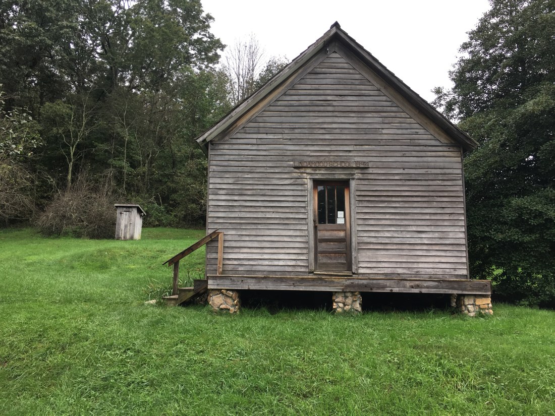
Later in the day I passed the Settlers Museum, which included an 1894 schoolhouse. The visitors center included exhibits on life at the time the valley was settled as well as interesting background on the locations in Europe from which the immigrants came.

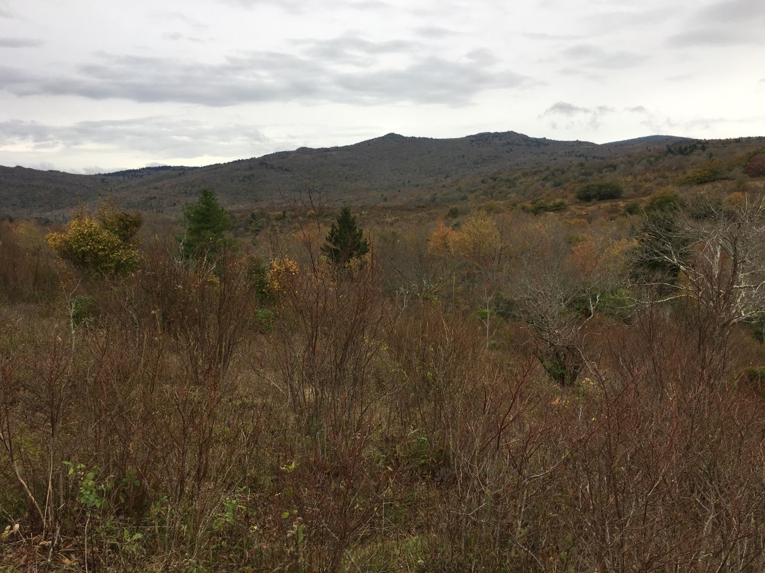
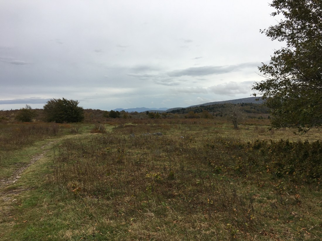
Monday and most of Tuesday were spent hiking through the woods without any appreciable views. Tuesday afternoon, I began the ascent of Pine Mountain and reached the area known as the Grayson Highlands. This area includes Mt. Rogers and Whitetop Mountain, the two highest peaks in Virginia. In addition to these mountains, the area includes large open tracts of land that are home to feral ponies. The ponies were brought to the area sometime in the first half of the 20th century to maintain the open vistas and control the risk of forest fires through their grazing on the brush and other undergrowth. The ponies now roam wild with some assistance from the Wilburn Ridge Pony Association.
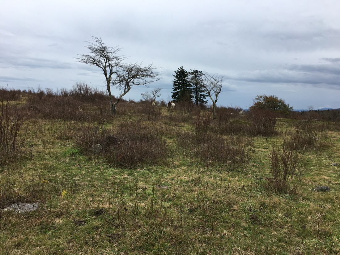
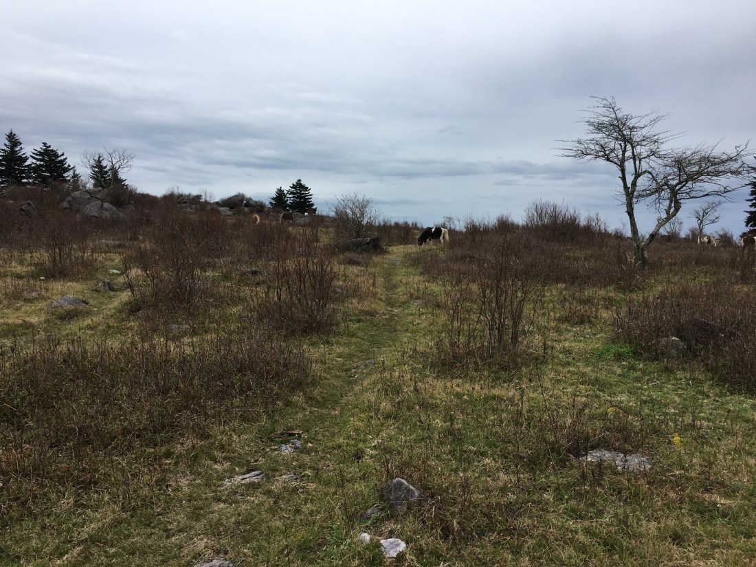
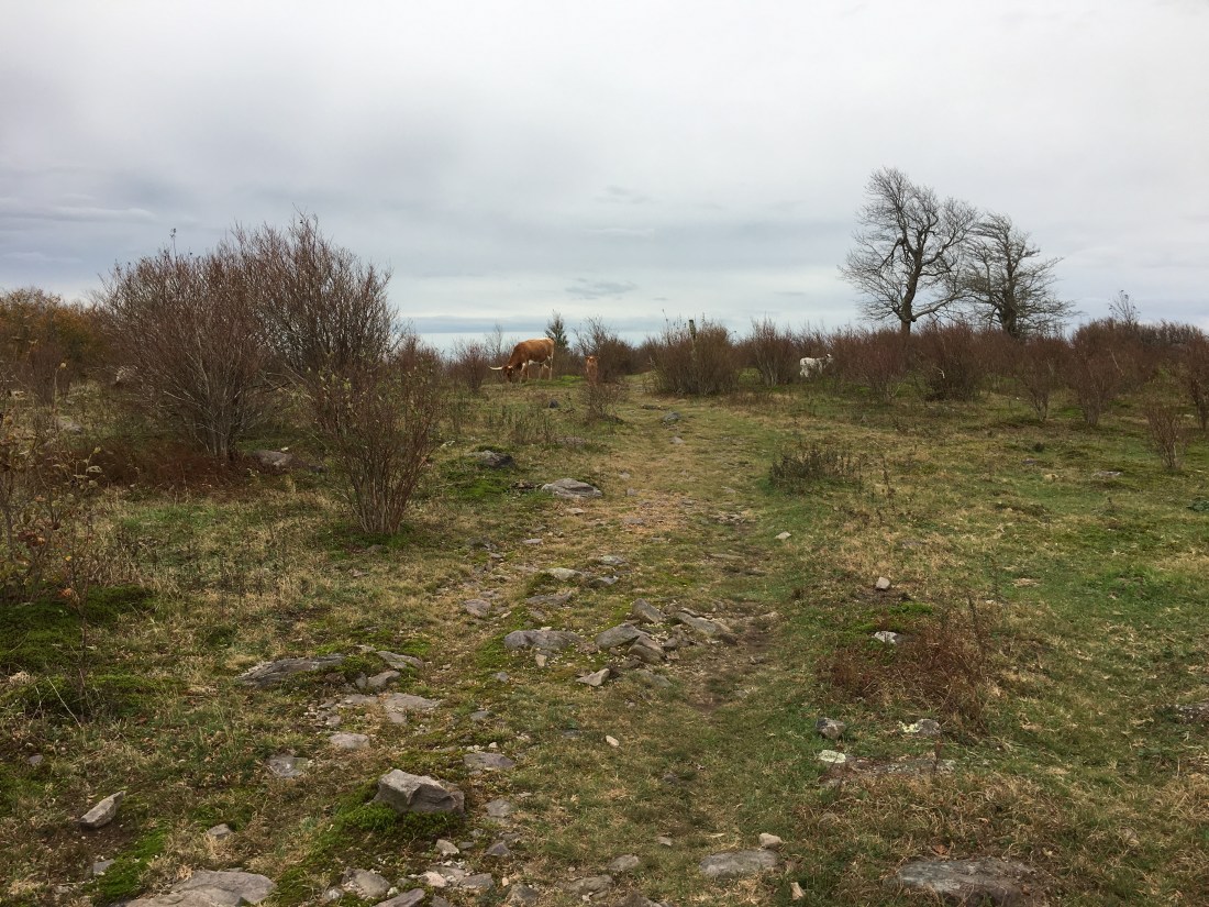
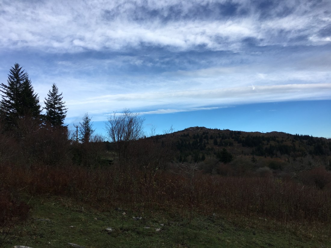
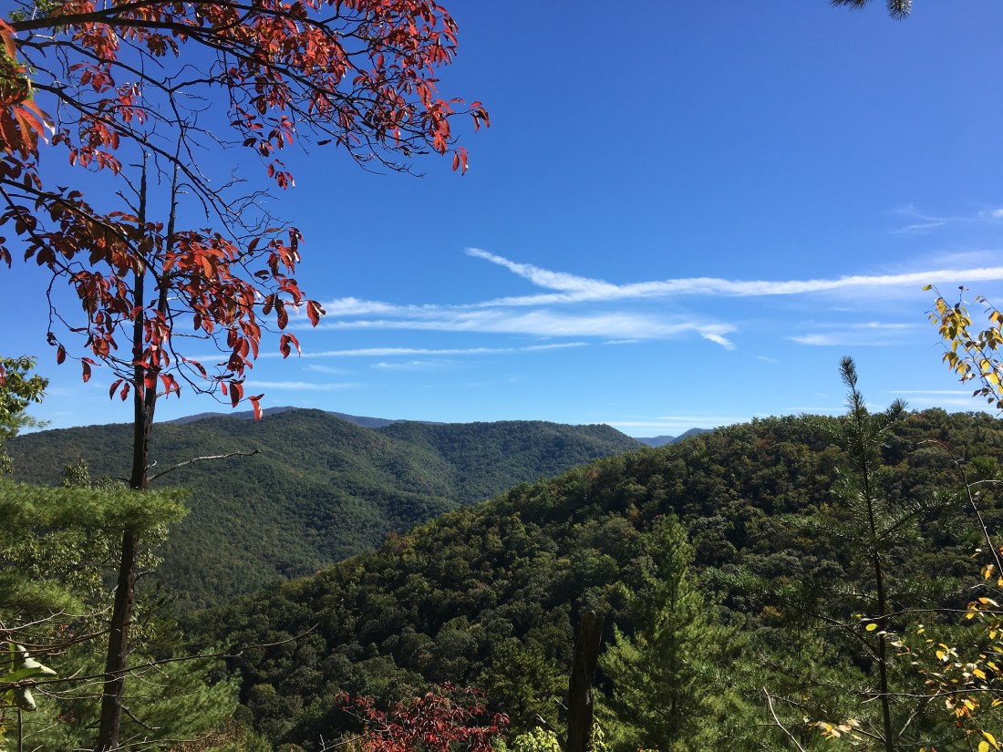
I encountered several of the ponies as soon as I reached the highlands. Unfortunately, they appear rather small in my pictures as I did not want to approach too closely. In addition, I encountered some cattle that also roam freely across certain areas of the highlands. The elevation in the highlands is above 5,000 feet above sea level and it was easy to see that fall had progressed much further in this area than at lower elevations, as most of the leaves were already on the ground. Nonetheless, the late fall colors provided beautiful scenery, particularly with the overcast skies.
After another rainy night, I woke to low temperatures, high winds, and cloudy skies on Wednesday. I had hoped to see more ponies and perhaps get better pictures, but apparently they had more sense than I and stayed wherever it is they stay to keep out of the weather. The overcast skies did at least provide some interesting views.
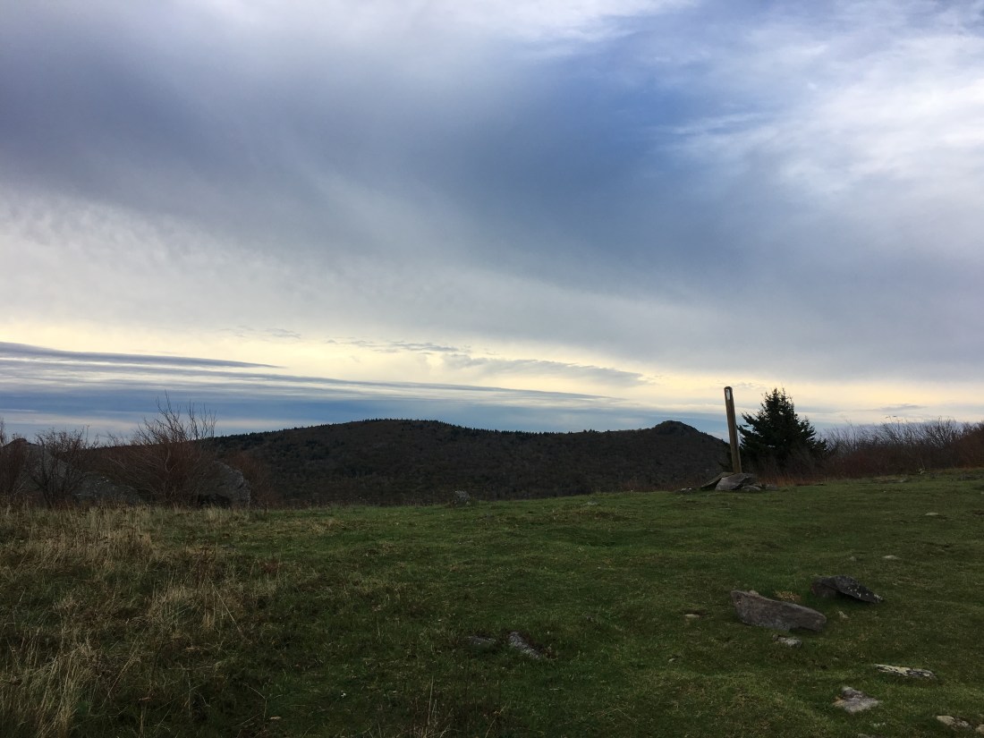
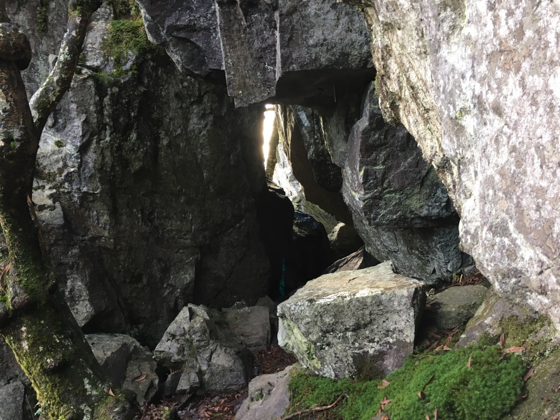
The Wilburn Ridge was rockier than most of the recent hiking and included a short section known as the “Fatman Squeeze.” Apparently, no one has come forward with a request for a more “correct” name. Although it looks narrow, I did not have any trouble fitting through without taking off my backpack. Many of the livestock gates have been much more difficult to pass through.
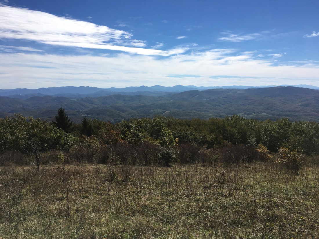
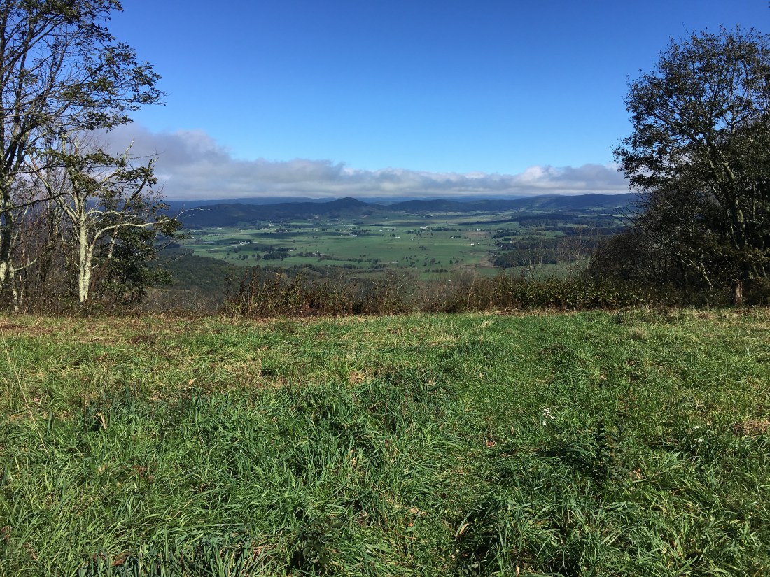
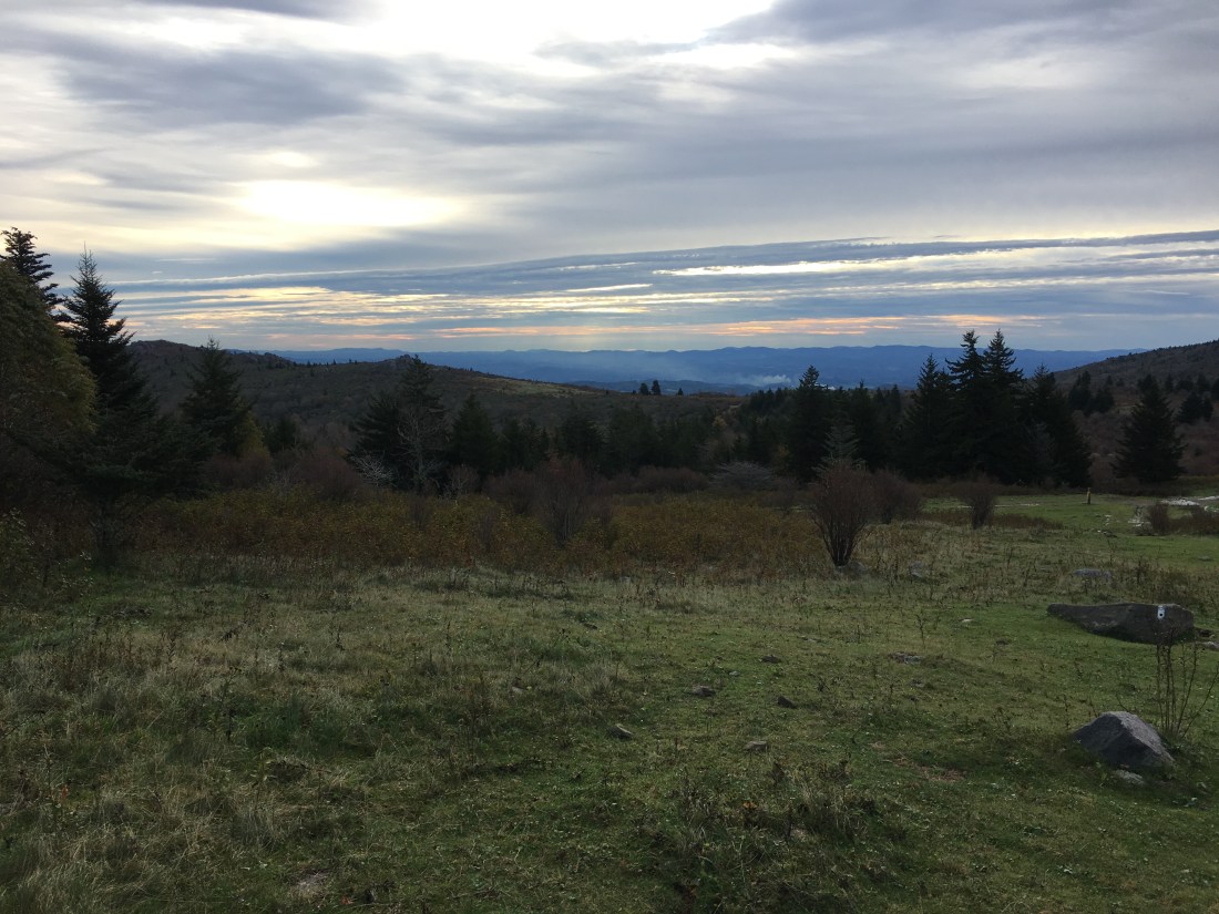
Thursday brought me to Damascus, just 3.7 miles from the Tennessee-Virginia border. The weather cleared up and air quality seemed the best I had seen in quite a while, providing sharper views of the distant mountains.
As luck would have it, we had beautiful weather on my day off yesterday and it is now raining again as I prepare to leave. As several cold, but clear days await, I plan to wait until noon to leave after the rain has hopefully stopped. I now have just 469 miles remaining and three more states, and I am becoming optimistic that I can still make it home for Thanksgiving. If the next week goes well, I may commit all-in and purchase my plane ticket back to Boston.

Phil – my god, it seems like all you’ve encountered is rain!
LikeLike
I certainly does seem that way. I had a few nice days this week — finally, some fall weather — however, it looks like a rainy weekend coming up.
LikeLike
Keep going Phil. You are almost there!
You’ve persevered and the rewards of finishing through such wet challenges will be waiting for you.
The dream is real!
Jp
LikeLike
Thank you! My spirits have been up and down with the weather. With 395 miles to go now, the end is in sight!
LikeLike